Estimated Value: $599,000 - $752,690
3
Beds
1
Bath
2,300
Sq Ft
$296/Sq Ft
Est. Value
About This Home
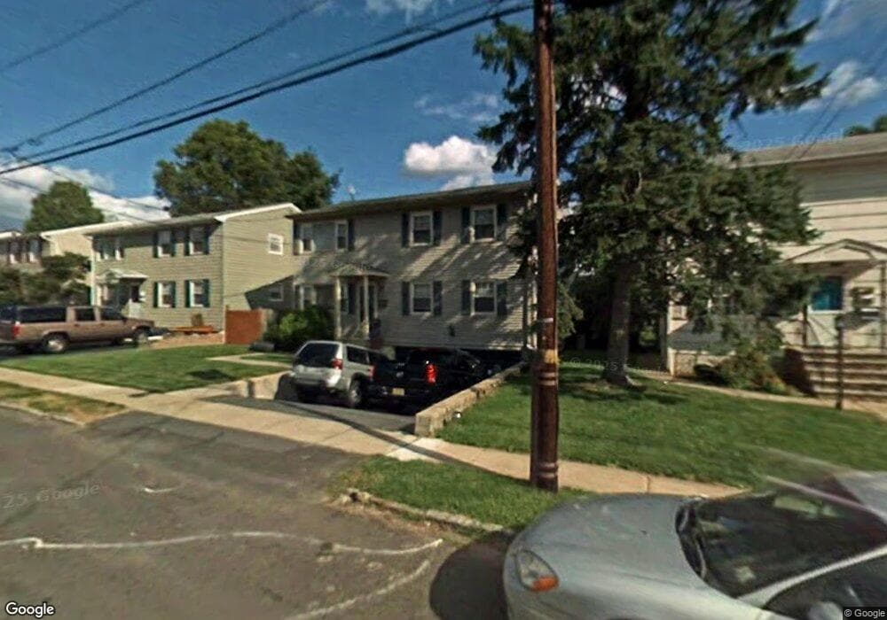
This home is located at 299 Perry Ave Unit Floor 1, Union, NJ 07083 and is currently estimated at $680,923, approximately $296 per square foot. 299 Perry Ave Unit Floor 1 is a home located in Union County with nearby schools including Union High School.
Ownership History
Date
Name
Owned For
Owner Type
Purchase Details
Closed on
Jul 14, 2022
Sold by
Miller Dianna K and Miller Robert
Bought by
Grele Edouard
Current Estimated Value
Home Financials for this Owner
Home Financials are based on the most recent Mortgage that was taken out on this home.
Original Mortgage
$618,589
Outstanding Balance
$591,741
Interest Rate
5.75%
Mortgage Type
FHA
Estimated Equity
$89,182
Purchase Details
Closed on
Sep 3, 2014
Sold by
Miller Dianna K
Bought by
Miller Dianna K and Miller Robert
Create a Home Valuation Report for This Property
The Home Valuation Report is an in-depth analysis detailing your home's value as well as a comparison with similar homes in the area
Home Values in the Area
Average Home Value in this Area
Purchase History
| Date | Buyer | Sale Price | Title Company |
|---|---|---|---|
| Grele Edouard | $630,000 | Old Republic Title | |
| Grele Edouard | $630,000 | Old Republic Title | |
| Miller Dianna K | -- | None Available |
Source: Public Records
Mortgage History
| Date | Status | Borrower | Loan Amount |
|---|---|---|---|
| Open | Grele Edouard | $618,589 | |
| Closed | Grele Edouard | $618,589 |
Source: Public Records
Tax History Compared to Growth
Tax History
| Year | Tax Paid | Tax Assessment Tax Assessment Total Assessment is a certain percentage of the fair market value that is determined by local assessors to be the total taxable value of land and additions on the property. | Land | Improvement |
|---|---|---|---|---|
| 2025 | $13,276 | $59,400 | $20,000 | $39,400 |
| 2024 | $12,871 | $59,400 | $20,000 | $39,400 |
| 2023 | $12,871 | $59,400 | $20,000 | $39,400 |
| 2022 | $12,424 | $59,400 | $20,000 | $39,400 |
| 2021 | $12,123 | $59,400 | $20,000 | $39,400 |
| 2020 | $11,881 | $59,400 | $20,000 | $39,400 |
| 2019 | $11,721 | $59,400 | $20,000 | $39,400 |
| 2018 | $11,522 | $59,400 | $20,000 | $39,400 |
| 2017 | $11,351 | $59,400 | $20,000 | $39,400 |
| 2016 | $11,075 | $59,400 | $20,000 | $39,400 |
| 2015 | $10,891 | $59,400 | $20,000 | $39,400 |
| 2014 | $10,647 | $59,400 | $20,000 | $39,400 |
Source: Public Records
Map
Nearby Homes
- 289 Indiana St
- 1707 Burnet Ave
- 274 Indiana St
- 287 Ohio St
- 72 Concord Ave
- 61 Concord Ave
- 297 Oswald Place
- 119 Lexington Ave
- 257 Hilton Ave
- 60 Bowdoin St
- 188 Burnett Ave
- 56 Broadview Ave
- 2269 Copper Hill Dr
- 2265 Copper Hill Dr
- 28 Overlook Terrace
- 44 Oberlin St
- 1584 Andrew St
- 1630 Andrew St
- 27 Roselyn Place
- 385 Stiles St
- 299 Perry Ave
- 303 Perry Ave
- 295 Perry Ave
- 307 Perry Ave
- 291 Perry Ave
- 300 Concord Ave
- 300 Concord Ave Unit 2
- 304 Concord Ave
- 308 Concord Ave
- 294 Concord Ave
- 311 Perry Ave
- 287 Perry Ave
- 287 Perry Ave Unit 2
- 287 Perry Ave
- 310 Concord Ave
- 310 Concord Ave Unit 2
- 302 Perry Ave
- 298 Perry Ave
- 306 Perry Ave
- 290 Concord Ave