299 Pete Johnson Rd Tignall, GA 30668
Estimated Value: $107,000 - $220,682
2
Beds
1
Bath
1,437
Sq Ft
$125/Sq Ft
Est. Value
About This Home
This home is located at 299 Pete Johnson Rd, Tignall, GA 30668 and is currently estimated at $180,227, approximately $125 per square foot. 299 Pete Johnson Rd is a home with nearby schools including Washington-Wilkes Elementary School, Washington-Wilkes Primary School, and Washington-Wilkes Middle School.
Ownership History
Date
Name
Owned For
Owner Type
Purchase Details
Closed on
Jul 26, 2014
Sold by
Hammond Marion B
Bought by
Hammond Marcus Lyn and Hammond William Dennis
Current Estimated Value
Purchase Details
Closed on
Feb 2, 2012
Sold by
Burton Ruth J
Bought by
Hammond Marion B
Purchase Details
Closed on
Jan 17, 2012
Sold by
Burton Ruth J
Bought by
Hammond Marion B
Purchase Details
Closed on
Mar 18, 1993
Bought by
Burton Ruth J
Create a Home Valuation Report for This Property
The Home Valuation Report is an in-depth analysis detailing your home's value as well as a comparison with similar homes in the area
Purchase History
| Date | Buyer | Sale Price | Title Company |
|---|---|---|---|
| Hammond Marcus Lyn | -- | -- | |
| Hammond Marion B | -- | -- | |
| Hammond Marion B | -- | -- | |
| Hammond Marion B | -- | -- | |
| Hammond Marion B | -- | -- | |
| Hammond Marion B | -- | -- | |
| Burton Ruth J | -- | -- |
Source: Public Records
Tax History
| Year | Tax Paid | Tax Assessment Tax Assessment Total Assessment is a certain percentage of the fair market value that is determined by local assessors to be the total taxable value of land and additions on the property. | Land | Improvement |
|---|---|---|---|---|
| 2025 | $811 | $42,341 | $34,503 | $7,838 |
| 2024 | $809 | $42,341 | $34,503 | $7,838 |
| 2023 | $781 | $42,341 | $34,503 | $7,838 |
| 2022 | $766 | $42,341 | $34,503 | $7,838 |
| 2021 | $750 | $40,394 | $32,556 | $7,838 |
| 2020 | $748 | $40,394 | $32,556 | $7,838 |
| 2019 | $744 | $40,394 | $32,556 | $7,838 |
| 2018 | $1,173 | $40,394 | $32,556 | $7,838 |
| 2017 | $1,339 | $46,116 | $38,278 | $7,838 |
| 2016 | $704 | $46,116 | $38,278 | $7,838 |
| 2015 | -- | $38,278 | $38,278 | $7,838 |
| 2014 | -- | $46,116 | $38,278 | $7,838 |
| 2013 | -- | $46,116 | $38,277 | $7,838 |
Source: Public Records
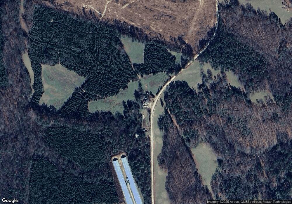
Map
Nearby Homes
- 0 Hollis Norman Rd Unit 10657647
- 0 Hollis Norman Rd
- 0 Hollis Norman Rd
- 1 Bunch Rd
- 4 Bunch Rd
- 191 Bunch Rd
- Rocky Smith Branch Rd
- 819 Jane Hill Rd
- Lot D Newtown Rd
- Lot C Newtown Rd
- Lot B Newtown Rd
- Lot E Newtown Rd
- 6556 Elberton Rd
- 0 Smith Rd
- 420 W Wooten St
- 00 New Hope Vesta Rd
- 1 New Hope Vesta Rd
- 525 S Hulin Ave
- 592 Andrew Caldwell Road Tract 2a
- 1044 Sardis Rd
- 2779 Mallorysville Rd
- 2615 Mallorysville Rd
- 2615 Mallorysville Rd
- 2531 Mallorysville Rd
- 2769 Mallorysville Rd
- 2984 Mallorysville Rd
- 192 Collins Rd
- 3016 Mallorysville Rd
- 3109 Mallorysville Rd
- 3103 Mallorysville Rd
- 156 Lamar Rd
- 3112 Mallorysville Rd
- 321 Collins Rd
- 321 Collins Rd Unit Rd
- 3171 Mallorysville Rd
- 822 Pete Johnson Rd
- 3243 Mallorysville Rd
- 3230 Mallorysville Rd
- 823 Pete Johnson Rd
- 176 Dunk Hill Rd