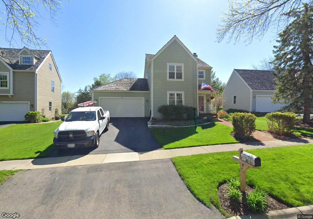
299 Pilgrims Path Gurnee, IL 60031
Estimated Value: $413,205 - $452,000
3
Beds
3
Baths
1,728
Sq Ft
$249/Sq Ft
Est. Value
About This Home
This home is located at 299 Pilgrims Path, Gurnee, IL 60031 and is currently estimated at $430,301, approximately $249 per square foot. 299 Pilgrims Path is a home located in Lake County with nearby schools including Woodland Primary School, Woodland Intermediate School, and Woodland Elementary School.
Ownership History
Date
Name
Owned For
Owner Type
Purchase Details
Closed on
Jun 11, 2001
Sold by
Marman Thomas and Marman Marjorie
Bought by
Partlow Robert D and Partlow Christine L
Current Estimated Value
Home Financials for this Owner
Home Financials are based on the most recent Mortgage that was taken out on this home.
Original Mortgage
$203,200
Interest Rate
7.28%
Create a Home Valuation Report for This Property
The Home Valuation Report is an in-depth analysis detailing your home's value as well as a comparison with similar homes in the area
Home Values in the Area
Average Home Value in this Area
Purchase History
| Date | Buyer | Sale Price | Title Company |
|---|---|---|---|
| Partlow Robert D | $254,000 | First American Title |
Source: Public Records
Mortgage History
| Date | Status | Borrower | Loan Amount |
|---|---|---|---|
| Previous Owner | Partlow Robert D | $203,200 | |
| Closed | Partlow Robert D | $25,400 |
Source: Public Records
Tax History
| Year | Tax Paid | Tax Assessment Tax Assessment Total Assessment is a certain percentage of the fair market value that is determined by local assessors to be the total taxable value of land and additions on the property. | Land | Improvement |
|---|---|---|---|---|
| 2024 | $10,068 | $120,726 | $23,644 | $97,082 |
| 2023 | $5,491 | $108,821 | $21,313 | $87,508 |
| 2022 | $5,491 | $61,427 | $18,635 | $42,792 |
| 2021 | $4,341 | $52,390 | $17,887 | $34,503 |
| 2020 | $8,514 | $97,578 | $17,447 | $80,131 |
| 2019 | $8,269 | $94,745 | $16,940 | $77,805 |
| 2018 | $8,188 | $95,038 | $19,039 | $75,999 |
| 2017 | $8,099 | $92,314 | $18,493 | $73,821 |
| 2016 | $8,030 | $88,204 | $17,670 | $70,534 |
| 2015 | $7,821 | $83,653 | $16,758 | $66,895 |
| 2014 | $7,480 | $80,787 | $16,518 | $64,269 |
| 2012 | $7,092 | $81,405 | $16,644 | $64,761 |
Source: Public Records
Map
Nearby Homes
- 33718 N Oplaine Rd
- 387 Long Hill Rd
- 468 Tanglewood Dr
- 450 Tanglewood Dr
- 287 Kensington Ct Unit 4
- 134 Heritage Ct Unit B
- 546 Thorndale Ave
- 4437-4495 W Kennedy Dr
- 4185 Eastwood Place
- 33564 Greenleaf St
- 4232 Kenwood Ave
- 4520 W Lawn Ave
- 968 S Darla Ct
- 3861 Sutherland Dr
- 4447 W Lawn Ave
- 4390 W Parkway Ave
- 4481 W Tucker Ln
- 1102 S Oplaine Rd
- 3810 1st St
- 32981 N River Rd
- 281 Pilgrims Path
- 317 Pilgrims Path
- 263 Pilgrims Path
- 292 Mayflower Ct
- 274 Mayflower Ct
- 316 Mayflower Ct
- 296 Pilgrims Path
- 278 Pilgrims Path
- 314 Pilgrims Path
- 245 Pilgrims Path
- 4567 Kings Way N
- 4575 Kings Way N
- 260 Pilgrims Path
- 4587 Kings Way N
- 4555 Kings Way N
- 238 Mayflower Ct
- 4595 Kings Way N
- 4547 Kings Way N
- 227 Pilgrims Path
- 242 Pilgrims Path
Your Personal Tour Guide
Ask me questions while you tour the home.