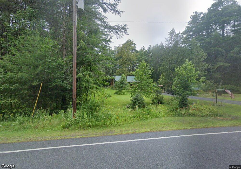
299 Potter Brook Rd Warrensburg, NY 12885
Estimated Value: $297,609 - $502,000
3
Beds
1
Bath
1,080
Sq Ft
$340/Sq Ft
Est. Value
About This Home
This home is located at 299 Potter Brook Rd, Warrensburg, NY 12885 and is currently estimated at $367,652, approximately $340 per square foot. 299 Potter Brook Rd is a home located in Warren County with nearby schools including Warrensburg Elementary School and Warrensburg Junior/Senior High School.
Ownership History
Date
Name
Owned For
Owner Type
Purchase Details
Closed on
Nov 22, 2021
Sold by
Donald Edwin B and Donald Nancy L
Bought by
Donald Patricia A and Donald Brian J
Current Estimated Value
Purchase Details
Closed on
Oct 6, 2006
Sold by
Mccann Cynthia
Bought by
Donald Edwin
Purchase Details
Closed on
Sep 19, 2003
Sold by
Schlos Jack C
Bought by
Mccann Cynthia S
Create a Home Valuation Report for This Property
The Home Valuation Report is an in-depth analysis detailing your home's value as well as a comparison with similar homes in the area
Home Values in the Area
Average Home Value in this Area
Purchase History
| Date | Buyer | Sale Price | Title Company |
|---|---|---|---|
| Donald Patricia A | -- | None Available | |
| Donald Edwin | $225,000 | Daniel Smith | |
| Mccann Cynthia S | $149,900 | Randolph Parker |
Source: Public Records
Tax History Compared to Growth
Tax History
| Year | Tax Paid | Tax Assessment Tax Assessment Total Assessment is a certain percentage of the fair market value that is determined by local assessors to be the total taxable value of land and additions on the property. | Land | Improvement |
|---|---|---|---|---|
| 2024 | $4,584 | $257,400 | $31,500 | $225,900 |
| 2023 | $4,998 | $222,200 | $32,900 | $189,300 |
| 2022 | $4,882 | $222,200 | $32,900 | $189,300 |
| 2021 | $5,123 | $222,200 | $32,900 | $189,300 |
| 2020 | $5,039 | $222,200 | $32,900 | $189,300 |
| 2019 | $4,937 | $222,200 | $32,900 | $189,300 |
| 2018 | $4,937 | $222,200 | $32,900 | $189,300 |
| 2017 | $5,042 | $222,200 | $32,900 | $189,300 |
| 2016 | $5,195 | $222,200 | $32,900 | $189,300 |
| 2015 | -- | $222,200 | $32,900 | $189,300 |
| 2014 | -- | $222,200 | $32,900 | $189,300 |
Source: Public Records
Map
Nearby Homes
- L 14 Potter Brook Rd
- 367 Potter Brook Rd
- 1190 River Rd
- 115 Atateka Dr
- 42 Huber Rd
- 5204 State Route 9
- 61 Snowshoe Ridge
- 3K High Pines Terrace
- 4A High Pines Terrace
- 0 State Route 28
- 11 Overlook Ln N
- 5 Overlook Ln N Unit B & D
- 36 Grove St
- L34 Mountain Ln
- 24 Balsam Crest Path Unit B
- 678 Dippikill Rd
- L9 Atateka Rd
- 177 Forest Lake Rd
- 199 Forest Lake Rd
- L2 Friends Lake Rd
- 299 Potterbrook Rd
- 319 Potter Brook Rd
- 320 Potter Brook Rd
- 275 Potter Brook Rd
- 275 Potter Brook Rd
- 255 Potter Brook Rd
- 243 Potterbrook Rd
- 192 Potter Brook Rd
- 193 Potter Brook Rd
- 00 Potter Brook Rd
- Lot#1 Potter Brook Rd
- 000 Potter Brook Rd
- L6 Potter Brook Rd
- L 19.3 Potter Brook Rd
- L 19.2 Potter Brook Rd
- 0 Potter Brook Rd
- 232 Potter Brook Rd
- 232 Potter Brook Rd
- 24 Fawn Ridge Rd
- 0 Potter Brook Rd