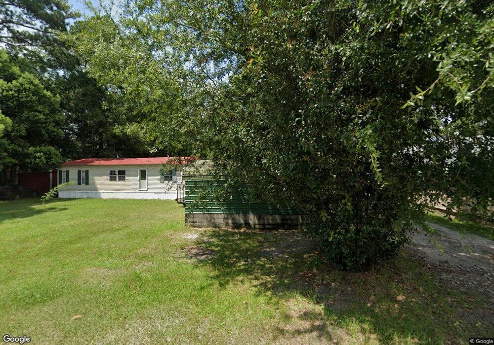
299 Roberts Ave E Pearson, GA 31642
Estimated Value: $75,073 - $135,000
Studio
1
Bath
1,645
Sq Ft
$63/Sq Ft
Est. Value
About This Home
This home is located at 299 Roberts Ave E, Pearson, GA 31642 and is currently estimated at $104,268, approximately $63 per square foot. 299 Roberts Ave E is a home with nearby schools including Pearson Elementary School, Willacoochee Elementary School, and Atkinson County High School.
Ownership History
Date
Name
Owned For
Owner Type
Purchase Details
Closed on
Oct 3, 2017
Sold by
Harper Donald
Bought by
Tello Katia Mejorada and Tello De Mejorada Eurfocina
Current Estimated Value
Purchase Details
Closed on
Jun 11, 2002
Sold by
Walters Harold Dale
Bought by
Harper Donald and Harper Bessie W
Purchase Details
Closed on
Feb 17, 1996
Bought by
Walters Harold Dale
Purchase Details
Closed on
Jul 15, 1994
Bought by
Crosby John A and Crosby Amanda
Purchase Details
Closed on
Nov 11, 1983
Bought by
Burch Johnny and Burch Gail P
Create a Home Valuation Report for This Property
The Home Valuation Report is an in-depth analysis detailing your home's value as well as a comparison with similar homes in the area
Purchase History
| Date | Buyer | Sale Price | Title Company |
|---|---|---|---|
| Tello Katia Mejorada | $56,000 | -- | |
| Harper Donald | $60,000 | -- | |
| Walters Harold Dale | $45,000 | -- | |
| Crosby John A | $32,000 | -- | |
| Burch Johnny | -- | -- |
Source: Public Records
Tax History
| Year | Tax Paid | Tax Assessment Tax Assessment Total Assessment is a certain percentage of the fair market value that is determined by local assessors to be the total taxable value of land and additions on the property. | Land | Improvement |
|---|---|---|---|---|
| 2024 | $757 | $17,770 | $2,012 | $15,758 |
| 2023 | $543 | $17,770 | $2,012 | $15,758 |
| 2022 | $541 | $17,770 | $2,012 | $15,758 |
| 2021 | $571 | $17,770 | $2,012 | $15,758 |
| 2020 | $571 | $17,770 | $2,012 | $15,758 |
| 2019 | $572 | $17,770 | $2,012 | $15,758 |
| 2018 | $788 | $17,770 | $2,012 | $15,758 |
| 2017 | $507 | $17,770 | $2,012 | $15,758 |
| 2016 | $507 | $17,770 | $2,012 | $15,758 |
| 2015 | -- | $17,770 | $2,012 | $15,758 |
| 2014 | -- | $17,770 | $2,012 | $15,758 |
Source: Public Records
Map
Nearby Homes
- 74 Pearson St
- 00 Us-441 S
- 0 Honeysuckle Ln Unit 10623320
- 110 Shortrun Ln
- 0 Mount Zion Church Rd
- 0 Doc Sutton Rd
- 144 Heidi Ln
- 129 Hoot Owl Ln Unit 1
- 8708 Cogdell Hwy
- Tbd Lazy Nine Rd
- 6436 Old Axson Rd
- 1757 Logan Dr
- 166 Tempa Ln
- 00
- 380 Brookewood Dr
- 79 Joyce Dr
- 389 Pine Valley Rd
- 3236 Baymeadows Dr W
- 2828 Baymeadows Dr W
- 2987 Baymeadows Dr W
- 312 Roberts Ave E
- 278 Austin Ave E
- 284 Roberts Ave E
- 509 Austin Ave E
- 262 Roberts Ave E
- 281 Austin Ave E
- 244 Austin Ave E
- 263 Austin Ave E
- 243 Austin Ave E
- 226 Austin Ave E
- 266 Railroad Ave E
- 228 Roberts Ave E
- 206 Austin Ave E
- 808 Railroad Ave E
- 86 Pittman St
- 438 Austin Ave E
- 184 Austin Ave E
- 181 Roberts Ave E
- 186 E Roberts Ave
- 448 Austin Ave E
Your Personal Tour Guide
Ask me questions while you tour the home.