299 Rocky Top Ln Parsonsfield, ME 04047
Estimated Value: $279,000 - $346,042
--
Bed
--
Bath
1,008
Sq Ft
$309/Sq Ft
Est. Value
About This Home
This home is located at 299 Rocky Top Ln, Parsonsfield, ME 04047 and is currently estimated at $311,681, approximately $309 per square foot. 299 Rocky Top Ln is a home.
Create a Home Valuation Report for This Property
The Home Valuation Report is an in-depth analysis detailing your home's value as well as a comparison with similar homes in the area
Home Values in the Area
Average Home Value in this Area
Tax History Compared to Growth
Tax History
| Year | Tax Paid | Tax Assessment Tax Assessment Total Assessment is a certain percentage of the fair market value that is determined by local assessors to be the total taxable value of land and additions on the property. | Land | Improvement |
|---|---|---|---|---|
| 2024 | $3,946 | $234,867 | $139,250 | $95,617 |
| 2023 | $3,805 | $234,867 | $139,250 | $95,617 |
| 2022 | $3,640 | $234,867 | $139,250 | $95,617 |
| 2021 | $3,629 | $234,867 | $139,250 | $95,617 |
| 2020 | $67 | $234,867 | $139,250 | $95,617 |
| 2019 | $154 | $234,867 | $139,250 | $95,617 |
| 2017 | $3,486 | $233,942 | $139,250 | $94,692 |
| 2016 | $64 | $229,315 | $139,250 | $90,065 |
| 2015 | $3,440 | $229,315 | $139,250 | $90,065 |
| 2013 | $3,348 | $229,315 | $139,250 | $90,065 |
Source: Public Records
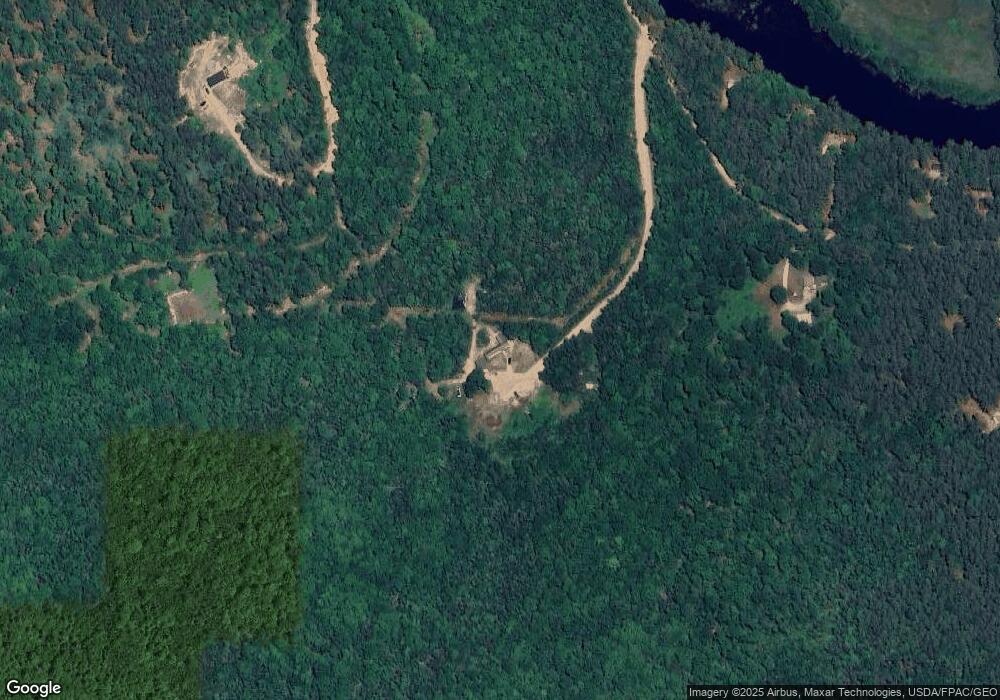
Map
Nearby Homes
- 00 Pratt Rd
- 1108 Ossipee Trail
- 185 Huntress Bridge Rd
- 187 Huntress Bridge Rd
- 0 S River Ln Unit 1641807
- 62 Eastman Hill Rd
- R3-32 Ossipee Trail
- 32 Rufus Mountain Rd
- 118 Round Pond Rd
- 118 Pound Round Rd
- 206 Gilman Rd
- 8 Pennie Ln
- Lot 10 Friedman
- 78 School St
- 122 Ossipee Trail
- Lot 3 Parsons Rd
- Lots 0-4 Parsons Rd
- Lot 2 Parsons Rd
- Lot 4 Parsons Rd
- Lot 1 Parsons Rd