299 Southpoint Trail Semora, NC 27343
Estimated Value: $884,010 - $1,079,000
4
Beds
5
Baths
2,878
Sq Ft
$337/Sq Ft
Est. Value
About This Home
This home is located at 299 Southpoint Trail, Semora, NC 27343 and is currently estimated at $969,503, approximately $336 per square foot. 299 Southpoint Trail is a home located in Person County with nearby schools including Person High School.
Ownership History
Date
Name
Owned For
Owner Type
Purchase Details
Closed on
Jun 1, 2022
Sold by
Lavoie Paul R and Lavoie Wendy S
Bought by
Peeler Todd and Peeler Sheila
Current Estimated Value
Purchase Details
Closed on
Sep 3, 2019
Sold by
Massey Royster Carroll Lee and Massey Royster Paula
Bought by
Lavoie Paul R and Lavoie Wendy S
Home Financials for this Owner
Home Financials are based on the most recent Mortgage that was taken out on this home.
Original Mortgage
$480,000
Interest Rate
3.7%
Mortgage Type
New Conventional
Purchase Details
Closed on
Sep 16, 1998
Bought by
Royster Carroll L and Royster Paula M
Create a Home Valuation Report for This Property
The Home Valuation Report is an in-depth analysis detailing your home's value as well as a comparison with similar homes in the area
Home Values in the Area
Average Home Value in this Area
Purchase History
| Date | Buyer | Sale Price | Title Company |
|---|---|---|---|
| Peeler Todd | $810,000 | Wootton Lance A | |
| Lavoie Paul R | $600,000 | None Available | |
| Royster Carroll L | $215,000 | -- |
Source: Public Records
Mortgage History
| Date | Status | Borrower | Loan Amount |
|---|---|---|---|
| Previous Owner | Lavoie Paul R | $480,000 |
Source: Public Records
Tax History Compared to Growth
Tax History
| Year | Tax Paid | Tax Assessment Tax Assessment Total Assessment is a certain percentage of the fair market value that is determined by local assessors to be the total taxable value of land and additions on the property. | Land | Improvement |
|---|---|---|---|---|
| 2025 | $5,850 | $834,717 | $0 | $0 |
| 2024 | $4,953 | $600,607 | $0 | $0 |
| 2023 | $4,973 | $600,607 | $0 | $0 |
| 2022 | $0 | $600,607 | $0 | $0 |
| 2021 | $4,597 | $600,607 | $0 | $0 |
| 2020 | $4,355 | $565,911 | $0 | $0 |
| 2019 | $4,498 | $565,942 | $0 | $0 |
| 2018 | $4,219 | $565,942 | $0 | $0 |
| 2017 | $4,161 | $565,942 | $0 | $0 |
| 2016 | $4,159 | $565,942 | $0 | $0 |
| 2015 | $4,237 | $565,942 | $0 | $0 |
| 2014 | $4,182 | $565,942 | $0 | $0 |
Source: Public Records
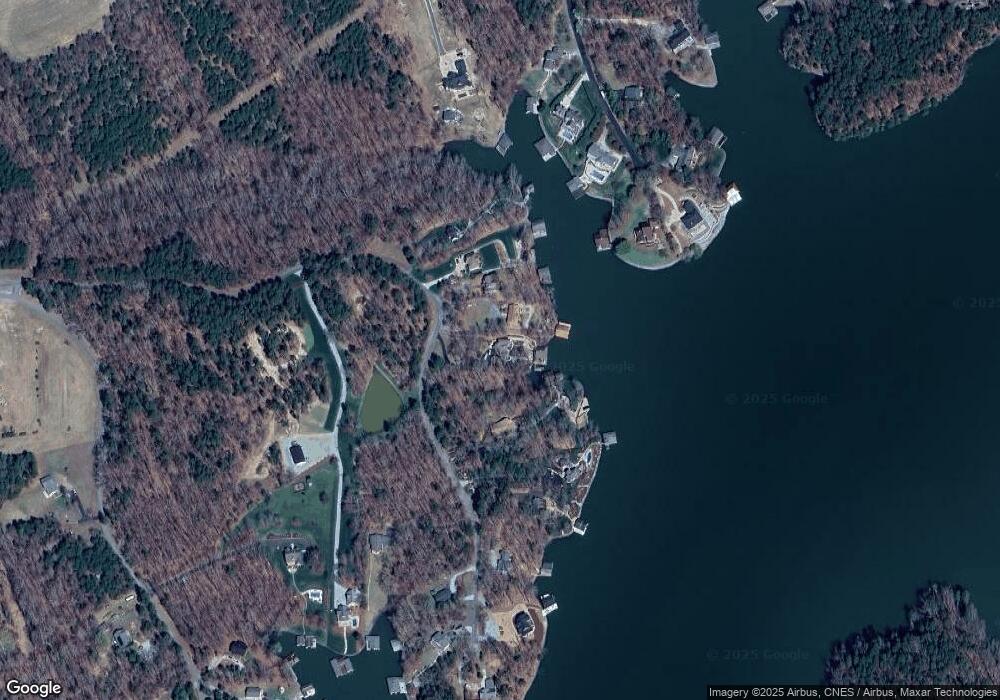
Map
Nearby Homes
- 454 Southpoint Trail
- 0 Rock Pointe Dr Unit 10091076
- Tbd Quail Roost Dr
- 232 Hardy Hollow Rd
- Lot 54 Pinesborough Estates Rd
- 600 Fox Lair Trail
- 195 Lynn Smith Rd
- Lot 7 Lynn Smith Rd
- 173 Lawrence Barker Rd
- 976 Estate Rd
- 734 Crystal Forest Dr
- 276 Beech Dr
- 197 Barefoot Landing Ln
- 28 Greenway Dr
- 36 Red Bud Ln
- 214 Crystal Bay Ln
- 528 Beech Dr
- Lot D Swallowtail Dr
- 19 Whitetail Ln
- 4.5 Acres off Kelly Brewer Rd
- 299 Southpoint Trail
- 299 S Point Trail
- 275 Southpoint Trail
- 271 S Point Trail
- 373 Southpoint Trail
- 269 S Point Trail
- 247 S Point Trail
- 391 Southpoint Trail
- 391 S Point Trail
- 401 Southpoint Trail
- 401 S Pointe Trail
- 401 S Point Trail
- 362 Rock Point Dr
- 441 Southpoint Trail
- 332 Rock Point Dr
- 332 Rock Pointe Dr
- 414 Southpoint Trail
- 000 S Point Trail
- 363 Rock Point Dr
- 363 Rock Pointe Dr