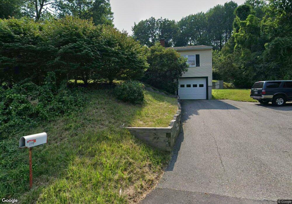
299 Tahattawan Rd Littleton, MA 01460
Estimated Value: $499,000 - $648,000
3
Beds
1
Bath
984
Sq Ft
$570/Sq Ft
Est. Value
About This Home
This home is located at 299 Tahattawan Rd, Littleton, MA 01460 and is currently estimated at $560,826, approximately $569 per square foot. 299 Tahattawan Rd is a home located in Middlesex County with nearby schools including Shaker Lane Elementary School, Russell Street Elementary School, and Littleton Middle School.
Ownership History
Date
Name
Owned For
Owner Type
Purchase Details
Closed on
Dec 11, 2007
Sold by
Smith Richard E
Bought by
Connoy Kevin Jerome
Current Estimated Value
Home Financials for this Owner
Home Financials are based on the most recent Mortgage that was taken out on this home.
Original Mortgage
$252,200
Interest Rate
6.37%
Mortgage Type
Purchase Money Mortgage
Purchase Details
Closed on
Nov 4, 1992
Sold by
Byan Stephen M
Bought by
Smith Richard E
Home Financials for this Owner
Home Financials are based on the most recent Mortgage that was taken out on this home.
Original Mortgage
$40,000
Interest Rate
7.99%
Mortgage Type
Purchase Money Mortgage
Create a Home Valuation Report for This Property
The Home Valuation Report is an in-depth analysis detailing your home's value as well as a comparison with similar homes in the area
Home Values in the Area
Average Home Value in this Area
Purchase History
| Date | Buyer | Sale Price | Title Company |
|---|---|---|---|
| Connoy Kevin Jerome | $260,000 | -- | |
| Smith Richard E | $129,900 | -- |
Source: Public Records
Mortgage History
| Date | Status | Borrower | Loan Amount |
|---|---|---|---|
| Open | Smith Richard E | $249,150 | |
| Closed | Connoy Kevin Jerome | $252,200 | |
| Previous Owner | Smith Richard E | $40,000 |
Source: Public Records
Tax History Compared to Growth
Tax History
| Year | Tax Paid | Tax Assessment Tax Assessment Total Assessment is a certain percentage of the fair market value that is determined by local assessors to be the total taxable value of land and additions on the property. | Land | Improvement |
|---|---|---|---|---|
| 2025 | $68 | $455,100 | $199,300 | $255,800 |
| 2024 | $6,393 | $430,800 | $193,600 | $237,200 |
| 2023 | $6,360 | $391,400 | $197,400 | $194,000 |
| 2022 | $6,002 | $338,900 | $197,400 | $141,500 |
| 2021 | $5,770 | $326,000 | $189,900 | $136,100 |
| 2020 | $5,228 | $294,200 | $162,700 | $131,500 |
| 2019 | $5,016 | $275,000 | $141,900 | $133,100 |
| 2018 | $4,785 | $263,800 | $140,200 | $123,600 |
| 2017 | $4,652 | $256,300 | $140,200 | $116,100 |
| 2016 | $4,534 | $256,300 | $140,200 | $116,100 |
| 2015 | $4,328 | $239,100 | $121,200 | $117,900 |
Source: Public Records
Map
Nearby Homes
- 305 Harwood Ave
- 4 Omega Way
- 35 Queen Rd
- 18 Long Lake Rd
- 16 Fletcher Ln
- Lot 2 Strawberry Farm
- 221 Foster St
- 4 Huron Rd
- 4 Mars Place
- 115 Goldsmith St
- 62 Waite Rd
- 34 Baldwin Hill Rd
- 336 King St Unit 105
- 12 Paula Beth St
- 55 Jennifer St
- 8 Edsel Rd
- 18 Pleasant St
- 10 Baldwin Hill Rd
- 31 Mohawk Dr
- 9 Breezy Point Rd
- 295 Tahattawan Rd
- 307 Tahattawan Rd
- 545 Newtown Rd
- 553 Newtown Rd
- 300 Tahattawan Rd
- 281 Tahattawan Rd
- 544 Newtown Rd
- 537 Newtown Rd
- 3 Omega Way
- 540 Newtown Rd
- 555 Newtown Rd
- 273 Tahattawan Rd
- 277 Tahattawan Rd
- 557 Newtown Rd
- 550 Newtown Rd
- 531 Newtown Rd
- 533 Newtown Rd
- 275 Tahattawan Rd
- 534 Newtown Rd
- 255 Tahattawan Rd