299 Taylor Farm Rd Waycross, GA 31503
Estimated Value: $290,000 - $1,100,480
8
Beds
2
Baths
2,249
Sq Ft
$309/Sq Ft
Est. Value
About This Home
This home is located at 299 Taylor Farm Rd, Waycross, GA 31503 and is currently estimated at $695,240, approximately $309 per square foot. 299 Taylor Farm Rd is a home located in Ware County with nearby schools including Waresboro Elementary School, Ware County Middle School, and Ware County High School.
Ownership History
Date
Name
Owned For
Owner Type
Purchase Details
Closed on
Apr 19, 2019
Sold by
Mixon Donald
Bought by
Asellus Georgia Blue Llc and C/O Agis Capital Llc
Current Estimated Value
Purchase Details
Closed on
Sep 21, 2007
Sold by
Millwood Plantation Llc
Bought by
Mixon Phillip and Mixon Donald
Purchase Details
Closed on
Apr 27, 2006
Sold by
Cox Julia Catherine Mixon
Bought by
Mixon Donald H and Mixon E
Purchase Details
Closed on
Oct 18, 2001
Sold by
Cox Julia Catherine Mixon
Bought by
Mixon Mixon E and Mixon Donald
Purchase Details
Closed on
Mar 12, 1996
Sold by
Mixon E J
Bought by
Cox Julia Catherine Mixon
Purchase Details
Closed on
Jul 7, 1993
Bought by
Mixon E J
Create a Home Valuation Report for This Property
The Home Valuation Report is an in-depth analysis detailing your home's value as well as a comparison with similar homes in the area
Home Values in the Area
Average Home Value in this Area
Purchase History
| Date | Buyer | Sale Price | Title Company |
|---|---|---|---|
| Asellus Georgia Blue Llc | $4,249,751 | -- | |
| Mixon Phillip | $1,000,000 | -- | |
| Mixon Donald H | $17,500 | -- | |
| Mixon Mixon E | -- | -- | |
| Cox Julia Catherine Mixon | -- | -- | |
| Mixon E J | $110,000 | -- |
Source: Public Records
Tax History Compared to Growth
Tax History
| Year | Tax Paid | Tax Assessment Tax Assessment Total Assessment is a certain percentage of the fair market value that is determined by local assessors to be the total taxable value of land and additions on the property. | Land | Improvement |
|---|---|---|---|---|
| 2024 | $10,197 | $389,037 | $78,814 | $310,223 |
| 2023 | $10,012 | $306,058 | $75,836 | $230,222 |
| 2022 | $3,470 | $120,164 | $75,836 | $44,328 |
| 2021 | $3,218 | $102,598 | $64,034 | $38,564 |
| 2020 | $3,203 | $101,010 | $64,034 | $36,976 |
| 2019 | $3,215 | $99,423 | $64,034 | $35,389 |
| 2018 | $1,989 | $97,835 | $64,034 | $33,801 |
| 2017 | $1,936 | $97,835 | $64,034 | $33,801 |
| 2016 | $1,936 | $97,835 | $64,034 | $33,801 |
| 2015 | $1,929 | $95,779 | $61,978 | $33,801 |
| 2014 | $1,902 | $95,781 | $61,980 | $33,801 |
| 2013 | -- | $95,781 | $61,980 | $33,801 |
Source: Public Records
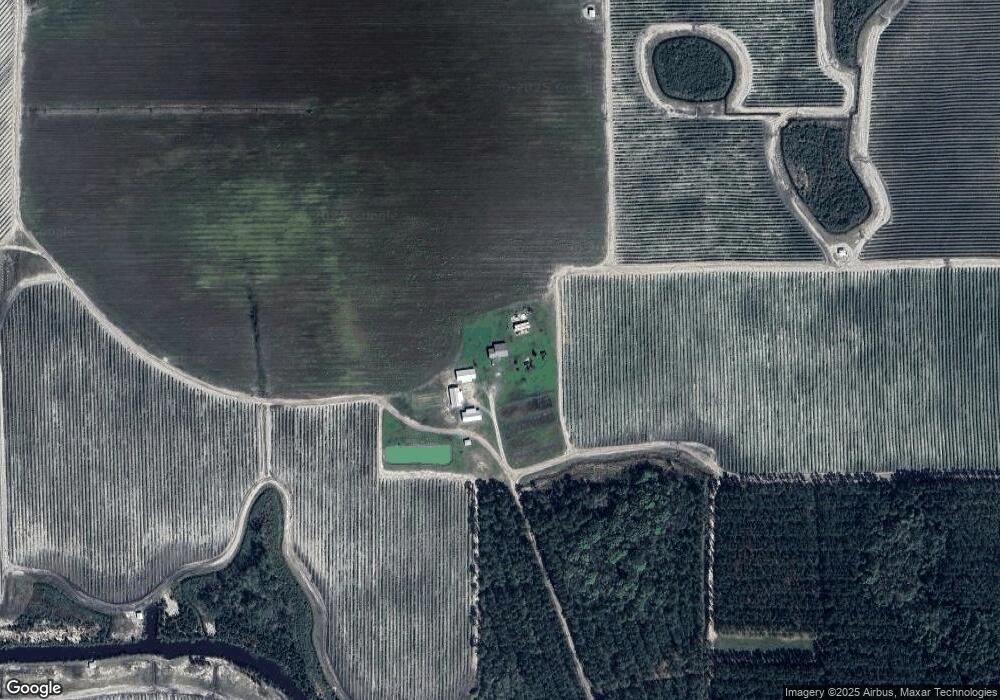
Map
Nearby Homes
- 0 Perch Creek Trail Unit 10600480
- 465 Oe McDonald Rd
- 0 Odum Rd
- 4606 Dukes Rd
- 6176 Perch Creek Trail
- 3940 Cleve Rd
- 82 Old 122 Hwy E
- 2180 Fulford Rd Unit n/a
- 0 (Lot 4) Elmer Thrift Rd
- 0 (Lot 3) Elmer Thrift Rd
- 400 Smith Rd
- 3222 Bertran Trail
- 524 Smith Rd
- 912 Smith Rd
- 1690 Smith Rd
- 3207 Bertran Trail
- 121 Farms Edge Rd
- 4601 Old Scapa Ln
- 1602 Smith Rd
- 4818 Lovett Rd
- 159 Rubys Ln
- 4739 Carswell Ave
- 4727 Carswell Ave
- 189 Rubys Ln
- 219 Rubys Ln
- 131 Elmer Dr
- 258 Elmer Dr
- 4811 Carswell Ave
- 4840 Vera Cir
- 249 Rubys Ln
- 298 Elmer Dr
- 4845 Vera Cir
- 196 Claude's Trail
- 1001 Lewis Davis Rd
- 1158 Pine Valley Rd
- 800 Lewis Davis Rd
- 520 N McDonald Rd
- 0 Pine Valley Rd
- 1157 Pine Valley Rd
- 1164 Pine Valley Rd