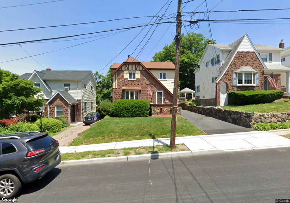
299 Windsor Rd Wood Ridge, NJ 07075
Estimated Value: $511,603 - $651,000
--
Bed
--
Bath
1,207
Sq Ft
$484/Sq Ft
Est. Value
About This Home
This home is located at 299 Windsor Rd, Wood Ridge, NJ 07075 and is currently estimated at $583,651, approximately $483 per square foot. 299 Windsor Rd is a home located in Bergen County with nearby schools including Catherine E. Doyle Elementary School, Wood Ridge Intermediate School, and Wood Ridge High School.
Ownership History
Date
Name
Owned For
Owner Type
Purchase Details
Closed on
Jul 13, 2012
Sold by
Sloan John P and Sloan Susan P
Bought by
Sloan John P
Current Estimated Value
Home Financials for this Owner
Home Financials are based on the most recent Mortgage that was taken out on this home.
Original Mortgage
$215,000
Outstanding Balance
$92,031
Interest Rate
3.74%
Mortgage Type
New Conventional
Estimated Equity
$491,620
Purchase Details
Closed on
Aug 19, 2002
Sold by
Barry James M
Bought by
Sloan John P and Sloan Susan P
Home Financials for this Owner
Home Financials are based on the most recent Mortgage that was taken out on this home.
Original Mortgage
$245,000
Interest Rate
6.61%
Purchase Details
Closed on
Jul 10, 1995
Sold by
Naddeo Louis and Naddeo Francesca
Bought by
Barry James and Barry Ronica
Home Financials for this Owner
Home Financials are based on the most recent Mortgage that was taken out on this home.
Original Mortgage
$158,000
Interest Rate
7.7%
Create a Home Valuation Report for This Property
The Home Valuation Report is an in-depth analysis detailing your home's value as well as a comparison with similar homes in the area
Home Values in the Area
Average Home Value in this Area
Purchase History
| Date | Buyer | Sale Price | Title Company |
|---|---|---|---|
| Sloan John P | -- | -- | |
| Sloan John P | $275,000 | -- | |
| Barry James | $175,000 | -- |
Source: Public Records
Mortgage History
| Date | Status | Borrower | Loan Amount |
|---|---|---|---|
| Open | Sloan John P | $215,000 | |
| Previous Owner | Sloan John P | $245,000 | |
| Previous Owner | Barry James | $158,000 |
Source: Public Records
Tax History Compared to Growth
Tax History
| Year | Tax Paid | Tax Assessment Tax Assessment Total Assessment is a certain percentage of the fair market value that is determined by local assessors to be the total taxable value of land and additions on the property. | Land | Improvement |
|---|---|---|---|---|
| 2025 | $8,702 | $303,400 | $194,700 | $108,700 |
| 2024 | $8,571 | $303,400 | $194,700 | $108,700 |
| 2023 | $8,480 | $303,400 | $194,700 | $108,700 |
| 2022 | $8,480 | $303,400 | $194,700 | $108,700 |
| 2021 | $8,565 | $303,400 | $194,700 | $108,700 |
| 2020 | $8,544 | $303,400 | $194,700 | $108,700 |
| 2019 | $8,416 | $303,400 | $194,700 | $108,700 |
| 2018 | $8,140 | $303,400 | $194,700 | $108,700 |
| 2017 | $7,949 | $303,400 | $194,700 | $108,700 |
| 2016 | $7,666 | $200,000 | $113,900 | $86,100 |
| 2015 | $7,536 | $200,000 | $113,900 | $86,100 |
| 2014 | $7,382 | $200,000 | $113,900 | $86,100 |
Source: Public Records
Map
Nearby Homes
- 88 Roosevelt Dr
- 289 Valley Blvd Unit 1A
- 289 Valley Blvd Unit 1D
- 289 Bradley Dr
- 271 North Ave
- 432 Innes Rd
- 39 Arnold Dr
- 102 Wesmont Dr
- 82 Wesmont Dr
- 68 Wesmont Dr
- 68 Wesmont Dr Unit 3803
- 148 12th St
- 181 Wood Ridge Ave
- 109 Wesmont Dr
- 317 Hillcrest Ave
- 27 Roosevelt Dr
- 25 Roosevelt Dr
- 38 Springfield Ave
- 243 Cleveland Ave
- 311 Harrison Ave