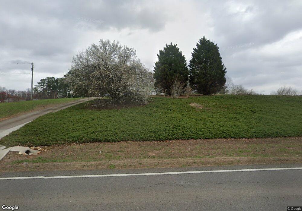
2990 Lower Bethany Rd Ball Ground, GA 30107
Estimated Value: $490,000 - $601,000
3
Beds
3
Baths
2,836
Sq Ft
$198/Sq Ft
Est. Value
About This Home
This home is located at 2990 Lower Bethany Rd, Ball Ground, GA 30107 and is currently estimated at $561,359, approximately $197 per square foot. 2990 Lower Bethany Rd is a home located in Cherokee County with nearby schools including Clayton Elementary School, Teasley Middle School, and Cherokee High School.
Ownership History
Date
Name
Owned For
Owner Type
Purchase Details
Closed on
May 19, 2006
Sold by
Newsom William and Newsom Linda
Bought by
Rhodes Michael L and Rhodes Patricia A
Current Estimated Value
Home Financials for this Owner
Home Financials are based on the most recent Mortgage that was taken out on this home.
Original Mortgage
$222,000
Outstanding Balance
$128,867
Interest Rate
6.44%
Mortgage Type
Stand Alone Second
Estimated Equity
$432,492
Purchase Details
Closed on
Feb 23, 1998
Sold by
Guarino Christopher P and Guarino Jennifer G
Bought by
Kaul John R
Home Financials for this Owner
Home Financials are based on the most recent Mortgage that was taken out on this home.
Original Mortgage
$121,300
Interest Rate
6.89%
Mortgage Type
New Conventional
Create a Home Valuation Report for This Property
The Home Valuation Report is an in-depth analysis detailing your home's value as well as a comparison with similar homes in the area
Home Values in the Area
Average Home Value in this Area
Purchase History
| Date | Buyer | Sale Price | Title Company |
|---|---|---|---|
| Rhodes Michael L | $277,600 | -- | |
| Kaul John R | $78,600 | -- |
Source: Public Records
Mortgage History
| Date | Status | Borrower | Loan Amount |
|---|---|---|---|
| Open | Rhodes Michael L | $222,000 | |
| Closed | Rhodes Michael L | $55,400 | |
| Previous Owner | Kaul John R | $121,300 |
Source: Public Records
Tax History Compared to Growth
Tax History
| Year | Tax Paid | Tax Assessment Tax Assessment Total Assessment is a certain percentage of the fair market value that is determined by local assessors to be the total taxable value of land and additions on the property. | Land | Improvement |
|---|---|---|---|---|
| 2024 | $1,128 | $165,880 | $28,280 | $137,600 |
| 2023 | $1,004 | $170,640 | $28,280 | $142,360 |
| 2022 | $1,184 | $168,560 | $56,560 | $112,000 |
| 2021 | $1,054 | $120,800 | $32,320 | $88,480 |
| 2020 | $1,017 | $116,360 | $32,320 | $84,040 |
| 2019 | $942 | $107,960 | $32,320 | $75,640 |
| 2018 | $1,026 | $115,160 | $46,040 | $69,120 |
| 2017 | $1,087 | $297,600 | $46,040 | $73,000 |
| 2016 | $3,297 | $288,900 | $46,040 | $69,520 |
| 2015 | $3,184 | $276,500 | $46,040 | $64,560 |
| 2014 | $3,064 | $265,800 | $46,040 | $60,280 |
Source: Public Records
Map
Nearby Homes
- 2980 Lower Bethany Rd
- 617 Valdosta Dr
- 341 Denali Butte Terrace
- 1029 Towne Mill Crossing
- 263 Jefferson Ave
- 201 Augusta Walk
- 255 Jefferson Ave
- 423 Murphy Ave
- 365 Denali Butte Terrace
- 106 Shalea Ln
- 236 Augusta Walk
- 1393 Worley Rd
- 815 Commerce Trail
- 724 Midway Ave
- 904 Berry Ct
- 824 Commerce Trail
- 538 Black Horse Cir
- 0 Worley Rd Unit 7634670
- 0 Worley Rd Unit 10540255
- 3060 Lower Bethany Rd
- 100 Woods Ct
- 110 Woods Ct
- 3080 Lower Bethany Rd
- 111 Woods Ct
- 6 Woods Ct
- 2965 Lower Bethany Rd
- 2873 Lower Bethany Rd
- 120 Woods Ct
- 0 Woods Ct Unit 7504373
- 0 Woods Ct Unit 7595328
- 0 Woods Ct Unit 7617339
- 0 Woods Ct Unit 7595338
- 0 Woods Ct Unit 7504379
- 0 Woods Ct Unit 7142514
- 0 Woods Ct
- 365 Ridge Ct
- 185 Ridge Ct
- 2955 Lower Bethany Rd
- 3160 Lower Bethany Rd
