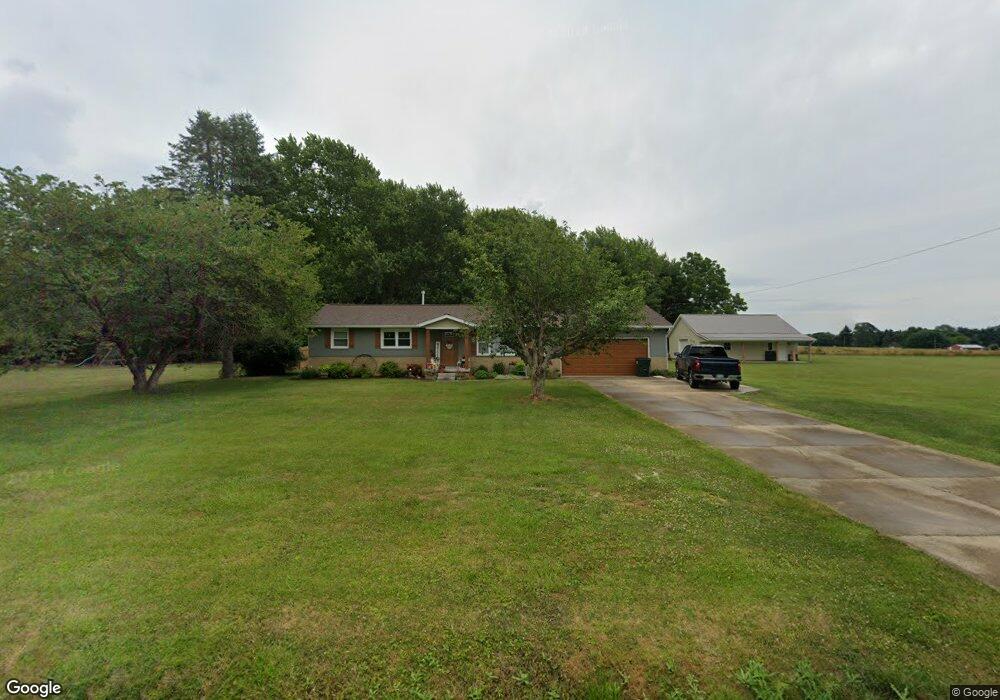
2990 S Nickelplate St Louisville, OH 44641
Estimated Value: $223,500
3
Beds
2
Baths
1,452
Sq Ft
$154/Sq Ft
Est. Value
About This Home
This home is located at 2990 S Nickelplate St, Louisville, OH 44641 and is currently priced at $223,500, approximately $153 per square foot. 2990 S Nickelplate St is a home located in Stark County with nearby schools including Louisville High School and St. Thomas Aquinas High School & Middle School.
Ownership History
Date
Name
Owned For
Owner Type
Purchase Details
Closed on
Oct 30, 2017
Sold by
Dyer Shirley M and Dyer Shirley Mae
Bought by
Nordick Daniel J and Nordick Sherri L
Current Estimated Value
Home Financials for this Owner
Home Financials are based on the most recent Mortgage that was taken out on this home.
Original Mortgage
$75,000
Outstanding Balance
$18,733
Interest Rate
3.78%
Mortgage Type
New Conventional
Purchase Details
Closed on
Nov 29, 2016
Sold by
Estate Of James Thomas Dyer
Bought by
Dyer Shirley M and Dyer Shirley Mae
Create a Home Valuation Report for This Property
The Home Valuation Report is an in-depth analysis detailing your home's value as well as a comparison with similar homes in the area
Home Values in the Area
Average Home Value in this Area
Purchase History
| Date | Buyer | Sale Price | Title Company |
|---|---|---|---|
| Nordick Daniel J | $139,000 | Mk Land Title Inc | |
| Dyer Shirley M | -- | None Available |
Source: Public Records
Mortgage History
| Date | Status | Borrower | Loan Amount |
|---|---|---|---|
| Open | Nordick Daniel J | $75,000 |
Source: Public Records
Tax History Compared to Growth
Tax History
| Year | Tax Paid | Tax Assessment Tax Assessment Total Assessment is a certain percentage of the fair market value that is determined by local assessors to be the total taxable value of land and additions on the property. | Land | Improvement |
|---|---|---|---|---|
| 2021 | $2,744 | $56,110 | $13,440 | $42,670 |
| 2020 | $2,249 | $48,620 | $12,110 | $36,510 |
| 2019 | $2,258 | $48,620 | $12,110 | $36,510 |
| 2018 | $2,251 | $48,620 | $12,110 | $36,510 |
| 2017 | $1,362 | $36,790 | $9,070 | $27,720 |
| 2016 | $1,332 | $36,790 | $9,070 | $27,720 |
| 2015 | $1,335 | $36,790 | $9,070 | $27,720 |
| 2014 | $1,310 | $34,200 | $8,440 | $25,760 |
| 2013 | $658 | $34,200 | $8,440 | $25,760 |
Source: Public Records
Map
Nearby Homes
- 8225 Georgetown St
- 908 Sand Lot Cir
- 2425 Miday Ave NE
- 1702 View Pointe Ave
- 3390 Meese Rd NE
- 1639 Horizon Dr
- 6969 Georgetown St NE
- 2110 Edmar St
- 1990 Belfort Ave
- 641 S Nickelplate St
- 520 S Silver St
- 728 E Broad St
- 1715 High St
- 510 S Bauman Ct
- 1812 E Broad St
- 204 E Broad St
- 308 Superior St
- 107 E Broad St
- 6416 15th St NE
- 0 Michigan Blvd
- V/L Nickelplate Ave NE
- 3030 S Nickelplate St
- 3030 S Nickel Plate St
- 2941 S Nickelplate St
- 3044 S Nickelplate St
- 3025 S Nickelplate St
- 2910 S Nickelplate St
- 3060 S Nickelplate St
- 3048 S Nickelplate St
- 2867 S Nickelplate St
- 2880 S Nickelplate St
- 2840 S Nickelplate St
- 2840 Nickel Plate Ave NE
- 2835 S Nickelplate St
- 2859 S Nickelplate St
- 2820 S Nickelplate St
- 3094 S Nickelplate St
- 2800 S Nickelplate St
- 2791 S Nickelplate St
- 8133 Georgetown St