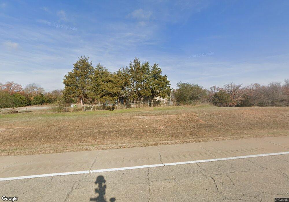
29901 W Highway 66 Bristow, OK 74010
Estimated Value: $229,753
3
Beds
2
Baths
1,500
Sq Ft
$153/Sq Ft
Est. Value
About This Home
This home is located at 29901 W Highway 66, Bristow, OK 74010 and is currently priced at $229,753, approximately $153 per square foot. 29901 W Highway 66 is a home located in Creek County with nearby schools including Edison Elementary School, Collins Elementary School, and Bristow Middle School.
Ownership History
Date
Name
Owned For
Owner Type
Purchase Details
Closed on
Sep 9, 2015
Sold by
Lu Chieh Chi
Bought by
Williams John and Williams Judith Ann
Current Estimated Value
Purchase Details
Closed on
Apr 24, 2014
Sold by
Lu Chieh Chi and Lee Elizabeth
Bought by
Lu Chiah Chi
Purchase Details
Closed on
Dec 6, 2009
Sold by
Bunch Lucindy and Moss Lucindy
Bought by
Lee Elizabeth T and Lu Chieh Chi
Purchase Details
Closed on
Nov 6, 2009
Sold by
Moss Lucindy and Adney Arthur Jackson
Bought by
Lee Elizabeth T and Lu Chien Chi
Purchase Details
Closed on
Mar 6, 2003
Sold by
Bethel Bill & Shirley
Create a Home Valuation Report for This Property
The Home Valuation Report is an in-depth analysis detailing your home's value as well as a comparison with similar homes in the area
Home Values in the Area
Average Home Value in this Area
Purchase History
| Date | Buyer | Sale Price | Title Company |
|---|---|---|---|
| Williams John | $12,500 | -- | |
| Lu Chiah Chi | $24,000 | None Available | |
| Lee Elizabeth T | $24,000 | -- | |
| Lee Elizabeth T | $24,000 | -- | |
| -- | $12,000 | -- |
Source: Public Records
Tax History Compared to Growth
Tax History
| Year | Tax Paid | Tax Assessment Tax Assessment Total Assessment is a certain percentage of the fair market value that is determined by local assessors to be the total taxable value of land and additions on the property. | Land | Improvement |
|---|---|---|---|---|
| 2025 | $2,021 | $21,625 | $1,500 | $20,125 |
| 2024 | $1,952 | $20,995 | $1,500 | $19,495 |
| 2023 | $1,952 | $20,384 | $1,500 | $18,884 |
| 2022 | $389 | $5,107 | $1,500 | $3,607 |
| 2021 | $379 | $4,959 | $1,500 | $3,459 |
| 2020 | $476 | $5,878 | $1,500 | $4,378 |
| 2019 | $472 | $5,769 | $1,500 | $4,269 |
| 2018 | $482 | $5,785 | $1,500 | $4,285 |
| 2017 | $485 | $5,785 | $1,500 | $4,285 |
| 2016 | $1,245 | $14,689 | $1,500 | $13,189 |
| 2015 | -- | $288 | $288 | $0 |
| 2014 | -- | $2,380 | $2,380 | $0 |
Source: Public Records
Map
Nearby Homes
- 41377 W Highway 66
- 137 E 11th Ave
- 608 N Elm St
- 0 State Highway 48
- 302 E 8th Ave
- 551 W 10th Ave
- 32380 W Highway 33
- 106 N Main St
- 619 E 6th Ave
- 515 W 8th Ave
- 236 W 6th Ave
- 409 Wildflower Run
- 602 W 7th Ave
- 51499 W Highway 66
- 619 W 6th Ave
- 610 E 4th Ave
- 34335 W Highway 16
- 416 W 3rd Ave
- 701 S Poplar St
- 611 S Cedar St
- 32485 W Highway 66
- 32105 W Highway 66
- 28502 W Highway 66
- null W Highway 66
- 0 W Highway 66
- 000 W Highway 66
- 35194 W 214th St S
- 35223 W 214th St S
- 343 McDonald Cir
- 1149 McDonald Cir
- 0 McDonald Cir Unit 1605862
- 1147 McDonald Cir
- 21287 S 349th West Ave
- 343 McDonald Dr
- 3566 McDonald Dr
- 3300 McDonald Dr
- 0 McDonald Rd Unit 1926876
- 1950 McDonald Dr
- 35137 W 211th St S
- 35011 W 211th St S