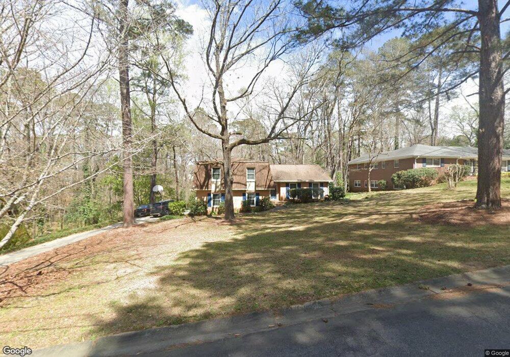
2991 Rolling Rd Macon, GA 31204
Estimated Value: $189,816 - $261,000
3
Beds
3
Baths
1,538
Sq Ft
$138/Sq Ft
Est. Value
About This Home
This home is located at 2991 Rolling Rd, Macon, GA 31204 and is currently estimated at $212,454, approximately $138 per square foot. 2991 Rolling Rd is a home located in Bibb County with nearby schools including Rosa Taylor Elementary School, Howard Middle School, and Howard High School.
Ownership History
Date
Name
Owned For
Owner Type
Purchase Details
Closed on
Aug 20, 2009
Sold by
Ridgeway Paul D
Bought by
Hardman Christopher B and Hardman Jessica
Current Estimated Value
Home Financials for this Owner
Home Financials are based on the most recent Mortgage that was taken out on this home.
Original Mortgage
$137,464
Outstanding Balance
$89,169
Interest Rate
5.19%
Mortgage Type
FHA
Estimated Equity
$123,285
Purchase Details
Closed on
Sep 5, 2003
Bought by
Ridgeway Paul D
Create a Home Valuation Report for This Property
The Home Valuation Report is an in-depth analysis detailing your home's value as well as a comparison with similar homes in the area
Purchase History
| Date | Buyer | Sale Price | Title Company |
|---|---|---|---|
| Hardman Christopher B | $140,000 | None Available | |
| Ridgeway Paul D | $125,000 | -- |
Source: Public Records
Mortgage History
| Date | Status | Borrower | Loan Amount |
|---|---|---|---|
| Open | Hardman Christopher B | $137,464 |
Source: Public Records
Tax History
| Year | Tax Paid | Tax Assessment Tax Assessment Total Assessment is a certain percentage of the fair market value that is determined by local assessors to be the total taxable value of land and additions on the property. | Land | Improvement |
|---|---|---|---|---|
| 2025 | $1,400 | $63,988 | $8,736 | $55,252 |
| 2024 | $1,447 | $63,988 | $8,736 | $55,252 |
| 2023 | $629 | $49,782 | $7,280 | $42,502 |
| 2022 | $1,832 | $59,906 | $8,499 | $51,407 |
| 2021 | $1,872 | $56,261 | $8,499 | $47,762 |
| 2020 | $1,626 | $48,882 | $6,954 | $41,928 |
| 2019 | $1,568 | $47,059 | $6,954 | $40,105 |
| 2018 | $2,207 | $40,817 | $6,181 | $34,636 |
| 2017 | $1,199 | $38,994 | $6,181 | $32,813 |
| 2016 | $981 | $35,348 | $6,181 | $29,167 |
| 2015 | $1,605 | $39,767 | $6,954 | $32,813 |
| 2014 | $1,897 | $39,767 | $6,954 | $32,813 |
Source: Public Records
Map
Nearby Homes
- 3077 River Ridge Dr
- 1031 Clifton Dr
- 2969 Audubon Dr
- 2958 Glenrock Dr
- 2916 Southshore Dr
- 3150 Misty Valley Ct
- 957 Laurel Oak Ct
- 3209 Lennox Dr
- 954 Greystone Ct
- 2985 Victoria Cir
- 2945 Crestline Dr
- 785 Downing St
- 233 Riverbend Trail
- 770 Windsor Rd
- 2791 Crestline Dr
- 0 Riverside Dr Unit 10667173
- 2655 Riverview Rd
- 760 Blanton Blvd
- 946 Fair Oaks Dr
- 3500 Northside Dr
- 2983 Rolling Rd
- 3009 Rolling Rd
- 2994 Rolling Rd
- 2975 Rolling Rd
- 2988 Rolling Rd
- 2988 Rolling Rd Unit 74
- 2982 Rolling Rd
- 3042 Audubon Dr
- 3042 Audubon Dr Unit 133
- 3067 River Ridge Dr
- 2963 Rolling Rd
- 2976 Rolling Rd
- 3066 River Ridge Dr
- 2997 Clairmont Ave
- 2951 Rolling Rd
- 2964 Rolling Rd
- 3069 River Ridge Dr
- 1265 Clairmont Place
- 1267 Clairmont Place
- 1267 Clairmont Place Unit 853
Your Personal Tour Guide
Ask me questions while you tour the home.