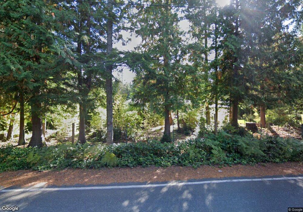
2991 Sherman Hill Rd NW Poulsbo, WA 98370
Estimated Value: $888,000 - $1,127,000
4
Beds
3
Baths
2,671
Sq Ft
$387/Sq Ft
Est. Value
About This Home
This home is located at 2991 Sherman Hill Rd NW, Poulsbo, WA 98370 and is currently estimated at $1,032,469, approximately $386 per square foot. 2991 Sherman Hill Rd NW is a home located in Kitsap County with nearby schools including Hilder Pearson Elementary School, Poulsbo Middle School, and North Kitsap High School.
Ownership History
Date
Name
Owned For
Owner Type
Purchase Details
Closed on
Feb 22, 2007
Sold by
Tivel Wesley R and Tivel Young J
Bought by
Rogers Ernst and Rogers Marilyn
Current Estimated Value
Home Financials for this Owner
Home Financials are based on the most recent Mortgage that was taken out on this home.
Original Mortgage
$579,500
Outstanding Balance
$364,347
Interest Rate
6.21%
Mortgage Type
Construction
Estimated Equity
$668,122
Purchase Details
Closed on
Sep 2, 2004
Sold by
Korpman Medical Group Inc Profit Sharing
Bought by
Tivel Wesley R and Tivel Young J
Create a Home Valuation Report for This Property
The Home Valuation Report is an in-depth analysis detailing your home's value as well as a comparison with similar homes in the area
Home Values in the Area
Average Home Value in this Area
Purchase History
| Date | Buyer | Sale Price | Title Company |
|---|---|---|---|
| Rogers Ernst | $230,280 | Transnation Title | |
| Tivel Wesley R | $134,000 | Land Title Company |
Source: Public Records
Mortgage History
| Date | Status | Borrower | Loan Amount |
|---|---|---|---|
| Open | Rogers Ernst | $579,500 |
Source: Public Records
Tax History Compared to Growth
Tax History
| Year | Tax Paid | Tax Assessment Tax Assessment Total Assessment is a certain percentage of the fair market value that is determined by local assessors to be the total taxable value of land and additions on the property. | Land | Improvement |
|---|---|---|---|---|
| 2026 | $7,903 | $895,740 | $224,180 | $671,560 |
| 2025 | $7,903 | $895,740 | $224,180 | $671,560 |
| 2024 | $7,533 | $881,820 | $185,440 | $696,380 |
| 2023 | $7,657 | $881,820 | $185,440 | $696,380 |
| 2022 | $6,451 | $704,240 | $154,310 | $549,930 |
| 2021 | $6,579 | $664,520 | $145,240 | $519,280 |
| 2020 | $6,374 | $634,190 | $138,750 | $495,440 |
| 2019 | $5,993 | $594,460 | $129,680 | $464,780 |
| 2018 | $5,980 | $498,840 | $107,940 | $390,900 |
| 2017 | $5,637 | $498,840 | $107,940 | $390,900 |
| 2016 | $5,639 | $459,220 | $107,940 | $351,280 |
| 2015 | $5,411 | $443,370 | $107,940 | $335,430 |
| 2014 | -- | $424,880 | $107,940 | $316,940 |
| 2013 | -- | $424,880 | $107,940 | $316,940 |
Source: Public Records
Map
Nearby Homes
- 3021 NW Beth Ln
- 17711 Viking Way NW
- 2896 Tasia Ln NW
- 19301 Viking Ave NW
- 19545 Laurene Ln NW
- 16214 Bay Ridge Dr NW
- 15800 Clear Creek Rd NW
- 17198 Viking Way NW
- 16014 Bay Ridge Dr NW
- 11 Lot Cassie Place NW
- 21601 Viking Ave NW
- 796 NW Cedar Ln
- 21133 Viking Ave NW
- 0 NW Slippery Pig Way Unit NWM2261792
- 20310 NW Cedar Ln
- 19531 Front St NE
- 32 NE Sunset St
- 17 Beargrass Ln NE
- 16460 Scandia Rd NW
- 17602 NE Midnight Sun Loop
- 18144 Clear Creek Rd NW
- 3078 Sherman Hill Rd NW
- 18389 Clear Creek Rd NW
- 18138 Clear Creek Rd NW
- 3168 NW Evergreen Point Ln
- 18289 Clear Creek Rd NW
- 2453 Sherman Hill Rd NW
- 18106 Clear Creek Rd NW
- 18337 Clear Creek Rd NW
- 18581 Clear Creek Rd NW
- 18094 Clear Creek Rd NW
- 18126 Clear Creek Rd NW
- 18229 Clear Creek Rd NW
- 18078 Clear Creek Rd NW
- 18070 Clear Creek Rd NW
- 18090 Clear Creek Rd NW
- 18177 Clear Creek Rd NW
- 18082 Clear Creek Rd NW
- 17948 NW Cear Creek Rd NW
- 18587 Clear Creek Rd NW
