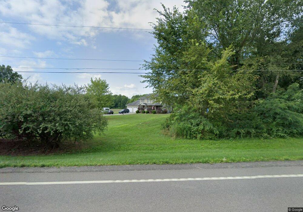
2991 State Route 14 Rootstown, OH 44272
Estimated Value: $301,000 - $385,000
About This Home
This home is located at 2991 State Route 14, Rootstown, OH 44272 and is currently estimated at $354,821, approximately $198 per square foot. 2991 State Route 14 is a home located in Portage County with nearby schools including Southeast High School.
Ownership History
We collect this data history from publicly available records. To have your information removed, we recommend requesting removal directly through your county’s website.
Purchase Details
Purchase Details
Home Financials for this Owner
Home Financials are based on the most recent Mortgage that was taken out on this home.Purchase Details
Home Financials for this Owner
Home Financials are based on the most recent Mortgage that was taken out on this home.Purchase Details
Purchase Details
Home Financials for this Owner
Home Financials are based on the most recent Mortgage that was taken out on this home.Purchase Details
Home Financials for this Owner
Home Financials are based on the most recent Mortgage that was taken out on this home.Purchase History
We collect this data history from publicly available records. To have your information removed, we recommend requesting removal directly through your county’s website.
| Date | Buyer | Sale Price | Title Company |
|---|---|---|---|
| $25,000 | Bennett Land Title Agency | ||
| -- | Bennett Land Title Agency | ||
| -- | Bennett Land Title Agency | ||
| -- | Approved Statewide Title | ||
| -- | -- | ||
| $31,000 | -- | ||
| -- | -- | ||
| $170,000 | Approved Statewide Title Age | ||
| -- | Approved Statewide Title Age |
Mortgage History
We collect this data history from publicly available records. To have your information removed, we recommend requesting removal directly through your county’s website.
| Date | Status | Borrower | Loan Amount |
|---|---|---|---|
| Open | $184,610 | ||
| Closed | $50,000 | ||
| Closed | $17,500 | ||
| Closed | $157,000 | ||
| Closed | $155,000 | ||
| Closed | $15,593 | ||
| Closed | $165,000 | ||
| Closed | $161,500 | ||
| Closed | $144,000 |
Tax History
We collect this data history from publicly available records. To have your information removed, we recommend requesting removal directly through your county’s website.
| Year | Tax Paid | Tax Assessment Tax Assessment Total Assessment is a certain percentage of the fair market value that is determined by local assessors to be the total taxable value of land and additions on the property. | Land | Improvement |
|---|---|---|---|---|
| 2020 | $2,945 | $67,100 | $10,010 | $57,090 |
| 2019 | $2,953 | $67,100 | $10,010 | $57,090 |
| 2018 | $2,893 | $61,990 | $9,700 | $52,290 |
| 2017 | $2,893 | $61,990 | $9,700 | $52,290 |
| 2016 | $2,882 | $61,990 | $9,700 | $52,290 |
| 2015 | $2,758 | $61,990 | $9,700 | $52,290 |
| 2014 | $2,689 | $59,020 | $9,700 | $49,320 |
| 2013 | $2,619 | $59,020 | $9,700 | $49,320 |
Map
- 7583 Yale Rd
- 0 State Route 14 Unit 5226600
- 2434 Taft Ave
- 2316 Deerfield Dr
- 3985 Porter Rd
- 2591 Wayland Rd
- 8464 & 8446 Tallmadge Rd
- 8492 & 8476 Tallmadge Rd
- 3798 State Route 183
- 8466 Whipporwill Rd
- 0 Ohio 225 Unit 5174573
- 3895 Stroup Rd
- 9470 Tallmadge Rd
- 1731 Ohio 225
- 0 Wayland Rd Unit 5227475
- 6549 Waterloo Rd
- 6279 Carlisle Way
- 700 Stillwater Dr
- 1314 Bank St
- 9865 Tallmadge Rd
- 3016 St Route 14
- 3016 State Route 14
- 3042 State Route 14
- 2970 State Route 14
- 2942 State Route 14
- 3070 State Route 14
- 2932 State Route 14
- 3016 Ohio 14
- 3090 State Route 14
- 2900 State Route 14
- 2860 State Route 14
- 2844 State Route 14
- 2837 State Route 14
- 2819 State Route 14
- 3037 Alliance Rd
- 2812 State Route 14
- 7889 Yale Rd
- 7905 Yale Rd
- 7841 Yale Rd
- 7775 Yale Rd
Ask me questions while you tour the home.