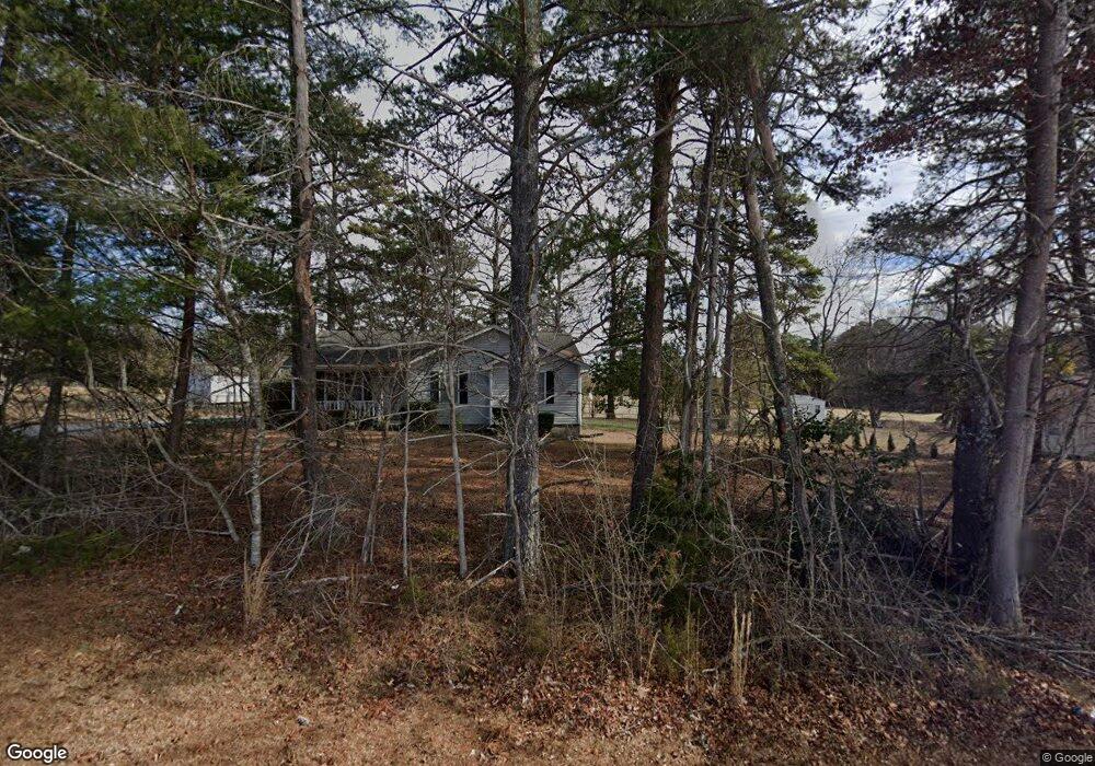
2991 W Croft Cir Unit 2997 Spartanburg, SC 29302
Estimated Value: $168,000 - $210,885
3
Beds
2
Baths
1,180
Sq Ft
$162/Sq Ft
Est. Value
About This Home
This home is located at 2991 W Croft Cir Unit 2997, Spartanburg, SC 29302 and is currently estimated at $190,721, approximately $161 per square foot. 2991 W Croft Cir Unit 2997 is a home located in Spartanburg County with nearby schools including Spartanburg High School.
Ownership History
Date
Name
Owned For
Owner Type
Purchase Details
Closed on
May 23, 2008
Sold by
Chatters Evelyn M
Bought by
Sill Lindsay P
Current Estimated Value
Home Financials for this Owner
Home Financials are based on the most recent Mortgage that was taken out on this home.
Original Mortgage
$2,000
Interest Rate
6%
Mortgage Type
Stand Alone Second
Purchase Details
Closed on
Feb 14, 2003
Sold by
Nichols Todd E and Nichols Tina M
Bought by
Chatters Evelyn M
Create a Home Valuation Report for This Property
The Home Valuation Report is an in-depth analysis detailing your home's value as well as a comparison with similar homes in the area
Home Values in the Area
Average Home Value in this Area
Purchase History
| Date | Buyer | Sale Price | Title Company |
|---|---|---|---|
| Sill Lindsay P | $91,700 | -- | |
| Chatters Evelyn M | $84,000 | -- |
Source: Public Records
Mortgage History
| Date | Status | Borrower | Loan Amount |
|---|---|---|---|
| Closed | Sill Lindsay P | $2,000 | |
| Open | Sill Lindsay P | $88,949 |
Source: Public Records
Tax History Compared to Growth
Tax History
| Year | Tax Paid | Tax Assessment Tax Assessment Total Assessment is a certain percentage of the fair market value that is determined by local assessors to be the total taxable value of land and additions on the property. | Land | Improvement |
|---|---|---|---|---|
| 2025 | $1,039 | $4,681 | $639 | $4,042 |
| 2024 | $1,039 | $4,681 | $639 | $4,042 |
| 2023 | $1,039 | $4,681 | $639 | $4,042 |
| 2022 | $872 | $4,071 | $519 | $3,552 |
| 2021 | $870 | $4,071 | $519 | $3,552 |
| 2020 | $857 | $4,071 | $519 | $3,552 |
| 2019 | $857 | $4,071 | $519 | $3,552 |
| 2018 | $855 | $4,071 | $519 | $3,552 |
| 2017 | $748 | $3,540 | $540 | $3,000 |
| 2016 | $748 | $3,540 | $540 | $3,000 |
| 2015 | $712 | $3,540 | $540 | $3,000 |
| 2014 | $693 | $3,540 | $540 | $3,000 |
Source: Public Records
Map
Nearby Homes
- 130 Landis St Unit 3
- 3329 Robin Hood Dr
- 3135 Longbow Dr
- 3823 Maid Marion Ln
- 137 Keltner Cir
- 101 Keltner Cir
- 3832 Maid Marion Ln
- 3834 Maid Marion Ln
- 218 Donavan Dr
- 2504 W Croft Cir
- 3155 Longbow Dr
- 3840 Maid Marion Ln
- 210 Saratoga Ave
- 117 Wardlaw Ave
- 198 Saratoga Ave
- 240 Cotton Creek Dr
- 137 Anderson Dr
- 305 Sunridge Dr
- 3420 E Croft Cir
- 1008 Patch Dr
- 2885 W Croft Cir
- 2999 W Croft Cir
- 2695 W Croft Cir
- 3000 W Croft Cir
- 2696 W Croft Cir
- 3004 W Croft Cir
- 3059 Huntington Dr
- 3101 Longbow Dr
- 2680 W Croft Cir
- 3008 W Croft Cir
- 3103 Longbow Dr
- 361 Haslett St
- 2670 W Croft Cir
- 3010 W Croft Cir
- 3105 Longbow Dr
- 201 Mckay Ave
- 341 Haslett St
- 3061 Huntington Dr
- 3107 Longbow Dr
- 209 Mckay Ave