29910 Freedom Rd Scappoose, OR 97056
Estimated Value: $365,000 - $508,320
2
Beds
3
Baths
1,080
Sq Ft
$404/Sq Ft
Est. Value
About This Home
This home is located at 29910 Freedom Rd, Scappoose, OR 97056 and is currently estimated at $436,660, approximately $404 per square foot. 29910 Freedom Rd is a home located in Columbia County with nearby schools including Scappoose High School.
Ownership History
Date
Name
Owned For
Owner Type
Purchase Details
Closed on
Oct 3, 2024
Sold by
Lee David D and Lee Chrystal R
Bought by
Lee Living Trust and Lee
Current Estimated Value
Purchase Details
Closed on
Dec 17, 2001
Bought by
Lee David D and Lee Chrystal R
Create a Home Valuation Report for This Property
The Home Valuation Report is an in-depth analysis detailing your home's value as well as a comparison with similar homes in the area
Home Values in the Area
Average Home Value in this Area
Purchase History
| Date | Buyer | Sale Price | Title Company |
|---|---|---|---|
| Lee Living Trust | -- | None Listed On Document | |
| Lee David D | $167,000 | -- |
Source: Public Records
Tax History Compared to Growth
Tax History
| Year | Tax Paid | Tax Assessment Tax Assessment Total Assessment is a certain percentage of the fair market value that is determined by local assessors to be the total taxable value of land and additions on the property. | Land | Improvement |
|---|---|---|---|---|
| 2025 | $3,090 | $227,550 | $144,940 | $82,610 |
| 2024 | $2,996 | $220,930 | $140,720 | $80,210 |
| 2023 | $2,983 | $214,500 | $131,600 | $82,900 |
| 2022 | $2,851 | $208,260 | $127,570 | $80,690 |
| 2021 | $2,772 | $202,200 | $112,490 | $89,710 |
| 2020 | $2,547 | $196,320 | $123,660 | $72,660 |
| 2019 | $2,484 | $190,610 | $115,820 | $74,790 |
| 2018 | $2,419 | $185,060 | $125,320 | $59,740 |
| 2017 | $2,384 | $179,670 | $121,670 | $58,000 |
| 2016 | $2,364 | $174,440 | $118,130 | $56,310 |
| 2015 | $2,235 | $169,360 | $106,960 | $62,400 |
| 2014 | $2,117 | $164,430 | $136,740 | $27,690 |
Source: Public Records
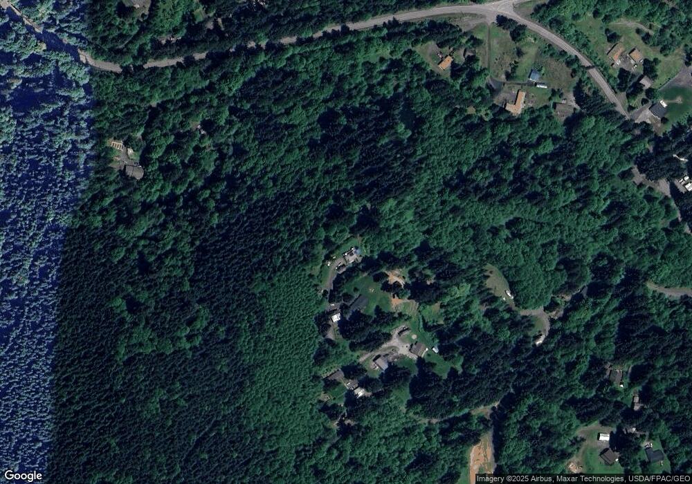
Map
Nearby Homes
- 30004 Scappoose Vernonia Hwy
- 28995 Scappoose Vernonia Hwy
- 57647 Cedar Springs Dr
- 57232 Cedar Creek Rd
- 31287 New Kirk Rd
- 55496 Pioneer Rd
- 31444 New Kirk Rd
- 0 Viewcrest Dr Unit 24577481
- 0 Armstrong Rd Unit 101 23014009
- 31917 Brooks Rd
- 0 Parcel 1 Peter St St Unit 174014860
- 0 Reid Rd
- 0 Peter St Unit 1S 480042051
- 32991 Rodney St
- 32005 Scappoose Vernonia Hwy
- 32084 Brooks Rd
- 32650 Oester Rd
- 0 Oester Rd
- 00 Cater (East) Rd
- 0 Cater (East) Rd Unit 798882
- 29880 Freedom Rd
- 29911 Freedom Rd
- 29920 Freedom Rd
- 29996 Scappoose Vernonia Hwy
- 29736 Crown Zellerbach Rd
- 29776 Crown Zellerbach Rd
- 30050 Freedom Rd
- 30102 Scappoose Vernonia Hwy
- 57124 Douglas Way
- 30010 Freedom Rd
- 30110 Scappoose Vernonia Hwy
- 56824 Old Quarry Rd
- 29661 Scappoose Vernonia Hwy
- 30021 Cater Rd
- 56805 Old Quarry Rd
- 30083 Scappoose Vernonia Hwy
- 57196 Douglas Way
- 30001 Scappoose Vernonia Hwy
- 30075 Scappoose Vernonia Hwy
- 56807 Old Quarry Rd