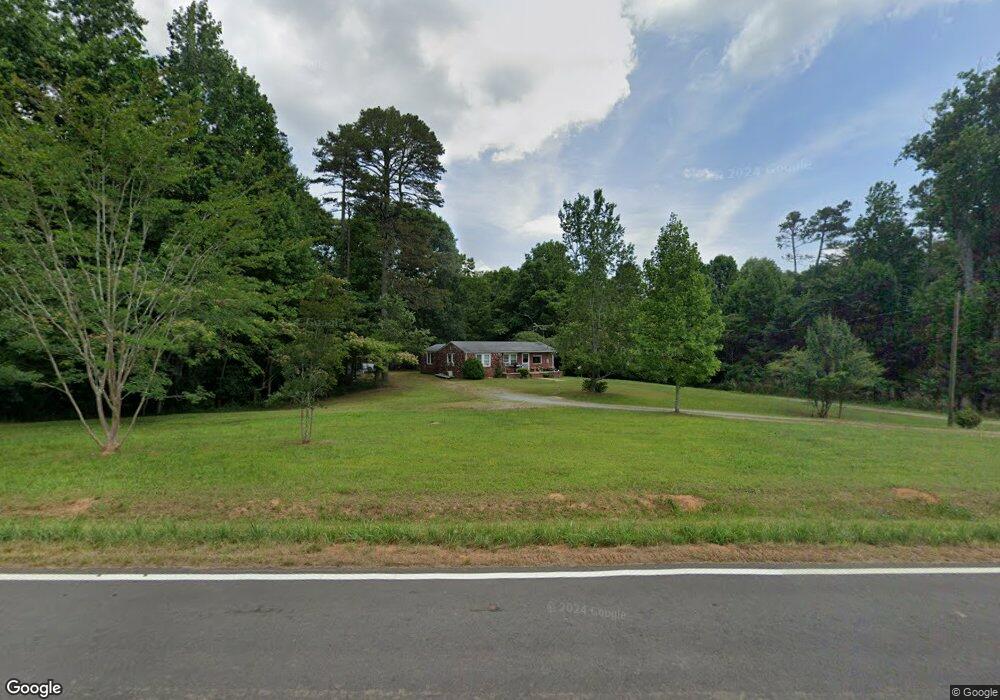
2992 Howser Mill Rd Dawsonville, GA 30534
Dawson County NeighborhoodEstimated Value: $318,000 - $560,000
1
Bed
1
Bath
1,056
Sq Ft
$400/Sq Ft
Est. Value
About This Home
This home is located at 2992 Howser Mill Rd, Dawsonville, GA 30534 and is currently estimated at $422,816, approximately $400 per square foot. 2992 Howser Mill Rd is a home with nearby schools including Robinson Elementary School, Dawson County Junior High School, and Dawson County Middle School.
Ownership History
Date
Name
Owned For
Owner Type
Purchase Details
Closed on
Jun 22, 1990
Sold by
Finlay Norean M
Bought by
Johnson Norean M
Current Estimated Value
Purchase Details
Closed on
Dec 4, 1987
Bought by
Finlay Norean M
Purchase Details
Closed on
Dec 5, 1985
Sold by
Reece Estelle
Bought by
Finlay Norean M
Purchase Details
Closed on
Dec 15, 1956
Bought by
Reece Estelle
Create a Home Valuation Report for This Property
The Home Valuation Report is an in-depth analysis detailing your home's value as well as a comparison with similar homes in the area
Home Values in the Area
Average Home Value in this Area
Purchase History
| Date | Buyer | Sale Price | Title Company |
|---|---|---|---|
| Johnson Norean M | -- | -- | |
| Finlay Norean M | $8,000 | -- | |
| Finlay Norean M | $40,900 | -- | |
| Reece Estelle | -- | -- |
Source: Public Records
Tax History Compared to Growth
Tax History
| Year | Tax Paid | Tax Assessment Tax Assessment Total Assessment is a certain percentage of the fair market value that is determined by local assessors to be the total taxable value of land and additions on the property. | Land | Improvement |
|---|---|---|---|---|
| 2024 | $425 | $159,360 | $57,200 | $102,160 |
| 2023 | $864 | $151,720 | $43,560 | $108,160 |
| 2022 | $540 | $108,200 | $30,280 | $77,920 |
| 2021 | $163 | $90,200 | $30,280 | $59,920 |
| 2020 | $136 | $88,760 | $30,840 | $57,920 |
| 2019 | $513 | $104,448 | $41,640 | $62,808 |
| 2018 | $514 | $104,448 | $41,640 | $62,808 |
| 2017 | $2,051 | $87,770 | $20,668 | $67,102 |
| 2016 | $1,841 | $78,995 | $20,668 | $58,327 |
| 2015 | $1,373 | $57,605 | $19,737 | $37,868 |
| 2014 | $820 | $34,165 | $19,737 | $14,428 |
| 2013 | -- | $26,673 | $14,098 | $12,575 |
Source: Public Records
Map
Nearby Homes
- 166 Elliott Family Pkwy
- 0 Cleve Wright Rd Unit 10602602
- 0 Cleve Wright Rd Unit 7647784
- 702 Joe Lane Cox Rd Unit 201
- 702 Joe Lane Cox Rd Unit 220
- 702 Joe Lane Cox Rd Unit 102
- 700 Joe Lane Cox Rd Unit 221
- 7165 Ellorie Estates Unit LOT 58
- Lot 2 Yancy Dr
- 6 Crawford Place
- 9 Crawford Crest
- 8 Crawford Crest
- 7 Crawford Crest
- 237 Nugget Ridge Rd
- 610 Old Henry Grady Rd
- 123 Stillwater Ln
- 31 Haygood Cir
- 167 Nugget Ridge Rd
- 683 Duck Thurmond Rd
- 2994 Howser Mill Rd
- 3106 Howser Mill Rd
- 3073 Howser Mill Rd
- 24 Hillbilly Dr
- 3184 Howser Mill Rd
- 1118 Elliott Family Pkwy
- 1058 Elliott Family Pkwy
- 1024 Elliott Family Pkwy
- 184 Rocky Top Dr
- 2810 Howser Mill Rd
- 2744 Howser Mill Rd
- 3039 Howser Mill Rd
- 1248 Elliott Family Pkwy
- 1219 Elliott Family Pkwy
- 1296 Elliott Family Pkwy
- 2801 Howser Mill Rd
- 175 Hartzler Farm Rd
- 1279 Elliott Family Pkwy
- 00 Kathy Ln
- 200 Hillbilly Dr