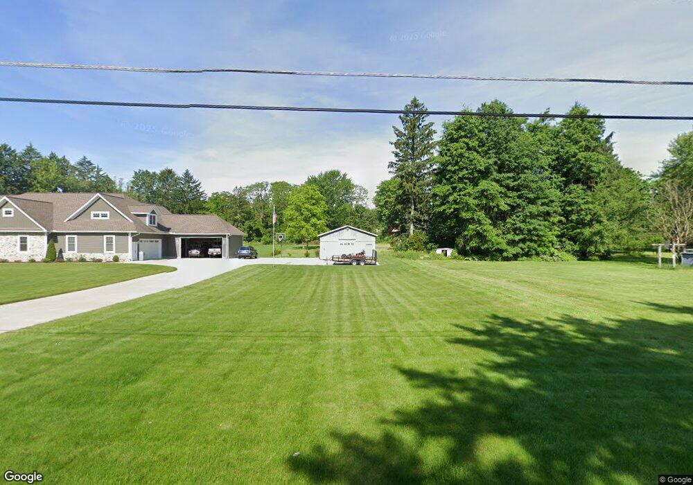
2993 Houston Rd Norton, OH 44203
Estimated Value: $346,000 - $587,903
5
Beds
5
Baths
3,790
Sq Ft
$123/Sq Ft
Est. Value
About This Home
This home is located at 2993 Houston Rd, Norton, OH 44203 and is currently estimated at $466,952, approximately $123 per square foot. 2993 Houston Rd is a home located in Summit County with nearby schools including Norton Primary Elementary School, Norton Middle School, and Norton High School.
Ownership History
Date
Name
Owned For
Owner Type
Purchase Details
Closed on
Dec 6, 1996
Sold by
Hatala Larry
Bought by
Patterson Dustin
Current Estimated Value
Home Financials for this Owner
Home Financials are based on the most recent Mortgage that was taken out on this home.
Original Mortgage
$17,625
Interest Rate
7.91%
Mortgage Type
New Conventional
Create a Home Valuation Report for This Property
The Home Valuation Report is an in-depth analysis detailing your home's value as well as a comparison with similar homes in the area
Home Values in the Area
Average Home Value in this Area
Purchase History
| Date | Buyer | Sale Price | Title Company |
|---|---|---|---|
| Patterson Dustin | $23,500 | -- |
Source: Public Records
Mortgage History
| Date | Status | Borrower | Loan Amount |
|---|---|---|---|
| Closed | Patterson Dustin | $17,625 |
Source: Public Records
Tax History Compared to Growth
Tax History
| Year | Tax Paid | Tax Assessment Tax Assessment Total Assessment is a certain percentage of the fair market value that is determined by local assessors to be the total taxable value of land and additions on the property. | Land | Improvement |
|---|---|---|---|---|
| 2025 | $8,243 | $196,970 | $11,008 | $185,962 |
| 2024 | $8,243 | $196,970 | $11,008 | $185,962 |
| 2023 | $8,243 | $196,970 | $11,008 | $185,962 |
| 2022 | $8,889 | $174,462 | $9,657 | $164,805 |
| 2021 | $8,933 | $174,462 | $9,657 | $164,805 |
| 2020 | $8,370 | $174,470 | $9,660 | $164,810 |
| 2019 | $624 | $11,430 | $10,620 | $810 |
| 2018 | $614 | $11,430 | $10,620 | $810 |
| 2017 | $632 | $10,780 | $9,970 | $810 |
| 2016 | $632 | $10,780 | $9,970 | $810 |
| 2015 | $632 | $10,780 | $9,970 | $810 |
| 2014 | $626 | $10,780 | $9,970 | $810 |
| 2013 | $620 | $10,780 | $9,970 | $810 |
Source: Public Records
Map
Nearby Homes
- 2881 Wilbanks Dr
- 2995 Wilbanks Dr
- 3007 Wilbanks Dr
- 2817 Kay Blvd
- 3303 Glenbrook Dr
- 3270 Glenbrook Dr
- 3141 Fair Oaks Dr
- 2783 Shellhart Rd
- 2711 S Cleveland Massillon Rd
- 2767 Steeb Cir
- 2065 Wadsworth Rd
- 2395 Hull Dr
- 3658 Knecht Rd
- 3649 Stradley Cir
- 2902 S/L 16 Willow Way
- 3012 Shellhart Rd
- 2870 S/L 12 Willow Way
- 2394 Jacoby Rd
- 2971 S/L 2 Willow Way
- 3837 S Cleveland Massillon Rd
- 2658 Wadsworth Rd
- 2640 Wadsworth Rd
- 2674 Wadsworth Rd
- 2626 Wadsworth Rd
- 3002 Houston Rd
- 2684 Wadsworth Rd
- 2983 Houston Rd
- 2690 Wadsworth Rd
- 2612 Wadsworth Rd
- 2985 Houston Rd
- 2659 Wadsworth Rd
- 2649 Rush Rd
- 2635 Wadsworth Rd
- 3020 Houston Rd
- 2631 Wadsworth Rd
- 3022 Houston Rd
- 2696 Wadsworth Rd
- 2625 Wadsworth Rd
- 2604 Wadsworth Rd
- 3011 Houston Rd