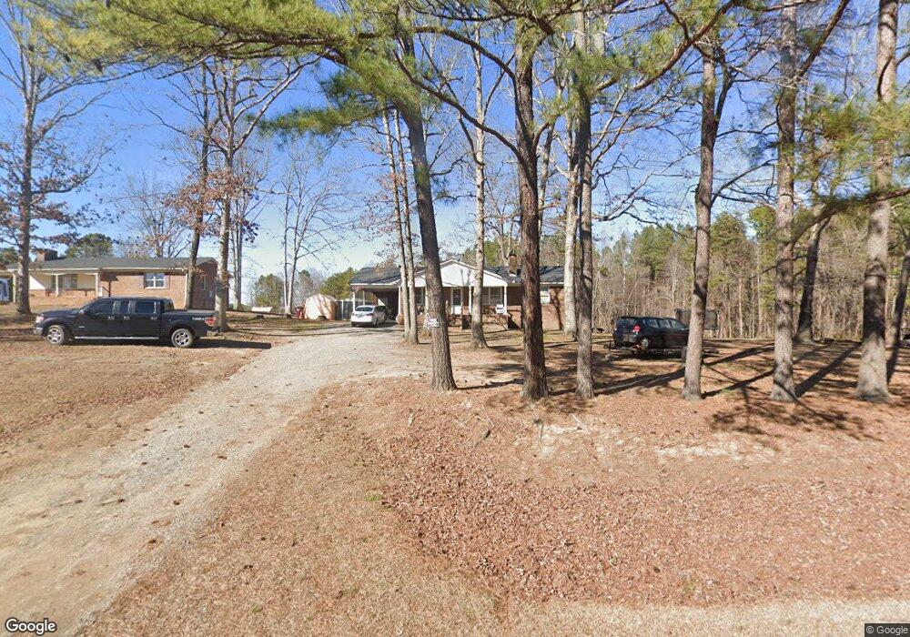
2995 Bowmantown Rd Roxboro, NC 27574
Estimated Value: $246,000 - $332,000
3
Beds
2
Baths
1,351
Sq Ft
$205/Sq Ft
Est. Value
About This Home
This home is located at 2995 Bowmantown Rd, Roxboro, NC 27574 and is currently estimated at $277,594, approximately $205 per square foot. 2995 Bowmantown Rd is a home located in Person County with nearby schools including Person High School.
Ownership History
Date
Name
Owned For
Owner Type
Purchase Details
Closed on
Jul 14, 2017
Sold by
Neal Spurgeon A and Neal Sharon S
Bought by
Bowen Cindy Lee
Current Estimated Value
Home Financials for this Owner
Home Financials are based on the most recent Mortgage that was taken out on this home.
Original Mortgage
$119,691
Outstanding Balance
$99,058
Interest Rate
3.75%
Mortgage Type
FHA
Estimated Equity
$178,536
Purchase Details
Closed on
Jul 28, 1997
Bought by
Neal Spurgeon A and Neal David T
Create a Home Valuation Report for This Property
The Home Valuation Report is an in-depth analysis detailing your home's value as well as a comparison with similar homes in the area
Home Values in the Area
Average Home Value in this Area
Purchase History
| Date | Buyer | Sale Price | Title Company |
|---|---|---|---|
| Bowen Cindy Lee | -- | None Available | |
| Neal Spurgeon A | $40,000 | -- |
Source: Public Records
Mortgage History
| Date | Status | Borrower | Loan Amount |
|---|---|---|---|
| Open | Bowen Cindy Lee | $119,691 |
Source: Public Records
Tax History Compared to Growth
Tax History
| Year | Tax Paid | Tax Assessment Tax Assessment Total Assessment is a certain percentage of the fair market value that is determined by local assessors to be the total taxable value of land and additions on the property. | Land | Improvement |
|---|---|---|---|---|
| 2025 | $1,395 | $207,346 | $0 | $0 |
| 2024 | $1,037 | $133,513 | $0 | $0 |
| 2023 | $1,037 | $133,513 | $0 | $0 |
| 2022 | $1,034 | $133,513 | $0 | $0 |
| 2021 | $1,004 | $133,513 | $0 | $0 |
| 2020 | $823 | $109,322 | $0 | $0 |
| 2019 | $834 | $109,322 | $0 | $0 |
| 2018 | $782 | $109,322 | $0 | $0 |
| 2017 | $23 | $106,030 | $0 | $0 |
| 2016 | $747 | $105,848 | $0 | $0 |
| 2015 | $747 | $105,848 | $0 | $0 |
| 2014 | $747 | $105,848 | $0 | $0 |
Source: Public Records
Map
Nearby Homes
- 0 Shady Oak Rd Unit 23863061
- 0 Shady Oak Rd Unit 10102994
- 2011 Bowmantown Rd
- 9175 Virgilina Rd
- A67 9 Bowmantown Rd
- A67 178 Bowmantown Rd
- A67 85 Bowmantown Rd
- A67 5 Bowmantown Rd
- 1316 Bowmantown Rd
- 1105 Fontaine Rd
- 7414 Virgilina Rd
- 343 Lakewood Pointe Dr
- 00 New Mayo Dr
- 17.03ac New Mayo Dr
- 0 New Mayo Dr Unit 10121125
- 84 Macbeth Ln
- 210 Grapevine Dr
- 9455 Boston Rd
- Lot 3 Grapevine Dr
- Lot 1 & 2 Stillwater Ln
- 2973 Bowmantown Rd
- 00 Bowmantown Rd Unit Tract A
- 00 Bowmantown Rd
- 3418 Bowmantown Rd
- 0 Fishers Ct Unit 1941085
- 0 Fishers Ct Unit 1941276
- 0 Fishers Ct Unit 1941295
- 0 Fishers Ct Unit 1941211
- 0 Fishers Ct Unit 1879335
- 0 Fishers Ct Unit 1941098
- Lot 8 Fishers Ct
- 0 Fishers Ct Unit 9 TR1941295
- Lot 8 Fishers Ct Unit 8
- 0 Fishers Ct Unit 1 1879335
- 0 Fishers Ct Unit 10 1941085
- 0 Fishers Ct Unit 1 1941098
- 0 Fishers Ct Unit 7 1941276
- 0 Fishers Ct Unit 2 1941211
- 0 Fishers Ct Unit 9
- 0 Lot 1 Fishers Ct