2995 Dixie Rd Covington, GA 30014
Estimated Value: $620,000 - $1,964,470
Studio
1
Bath
3,729
Sq Ft
$347/Sq Ft
Est. Value
About This Home
This home is located at 2995 Dixie Rd, Covington, GA 30014 and is currently estimated at $1,292,235, approximately $346 per square foot. 2995 Dixie Rd is a home located in Newton County with nearby schools including Mansfield Elementary School, Indian Creek Middle School, and Eastside High School.
Ownership History
Date
Name
Owned For
Owner Type
Purchase Details
Closed on
Sep 28, 2017
Sold by
Coberth Henry D
Bought by
Orr Kacy and Orr Mary Kathryn
Current Estimated Value
Home Financials for this Owner
Home Financials are based on the most recent Mortgage that was taken out on this home.
Original Mortgage
$195,000
Interest Rate
3.82%
Mortgage Type
New Conventional
Purchase Details
Closed on
Feb 23, 2007
Sold by
Stone Miriam C
Bought by
Coberth Henry D
Home Financials for this Owner
Home Financials are based on the most recent Mortgage that was taken out on this home.
Original Mortgage
$376,000
Interest Rate
6.16%
Mortgage Type
New Conventional
Create a Home Valuation Report for This Property
The Home Valuation Report is an in-depth analysis detailing your home's value as well as a comparison with similar homes in the area
Home Values in the Area
Average Home Value in this Area
Purchase History
| Date | Buyer | Sale Price | Title Company |
|---|---|---|---|
| Orr Kacy | $300,000 | -- | |
| Coberth Henry D | $578,500 | -- |
Source: Public Records
Mortgage History
| Date | Status | Borrower | Loan Amount |
|---|---|---|---|
| Closed | Orr Kacy | $195,000 | |
| Previous Owner | Coberth Henry D | $376,000 |
Source: Public Records
Tax History
| Year | Tax Paid | Tax Assessment Tax Assessment Total Assessment is a certain percentage of the fair market value that is determined by local assessors to be the total taxable value of land and additions on the property. | Land | Improvement |
|---|---|---|---|---|
| 2025 | $8,761 | $601,960 | $267,760 | $334,200 |
| 2024 | $8,845 | $599,320 | $267,760 | $331,560 |
| 2023 | $9,073 | $584,800 | $267,760 | $317,040 |
| 2022 | $6,612 | $878,700 | $0 | $0 |
| 2021 | $6,681 | $821,000 | $0 | $0 |
| 2020 | $5,079 | $648,800 | $0 | $0 |
| 2019 | $5,113 | $258,480 | $112,560 | $145,920 |
| 2018 | $3,865 | $112,560 | $112,560 | $0 |
| 2017 | $305 | $80,520 | $80,520 | $0 |
| 2016 | $297 | $59,960 | $59,960 | $0 |
| 2015 | $288 | $61,720 | $61,720 | $0 |
| 2014 | $279 | $55,720 | $0 | $0 |
Source: Public Records
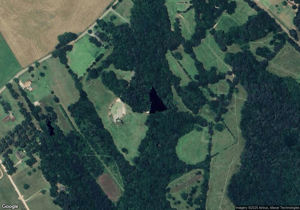
Map
Nearby Homes
- 645 5th Ave
- 95 Cambridge Dr
- 80 Graystone Dr
- 489 Mount Mariah Rd
- 25 Caseys Way
- 230 Alcovy Reserve Way
- 90 Alcovy Reserve Way
- 70 Alcovy Reserve Way
- 115 Rose Creek Dr
- 170 Rose Creek Dr
- 155 Rose Creek Dr
- 55 Glengarry Chase Unit 1
- 25 Hornbeam Way
- 20 Balfour Dr
- 20 Wood Lawn Springs Trail
- 701 Marks Rd
- 35 Balfour Dr
- 35 Crossbill Trail
- 30 Hollyhock Ln
- 0 Adams Rd Unit 7685218
- 1386 Highway 213
- 1512 Highway 213
- 1511 Highway 213
- 1465 Highway 213
- 1465 Hwy 213
- 1389 Highway 213
- 1594 Highway 213
- 1435 Highway 213
- 3003 Dixie Rd
- 1415 Highway 213
- 80 Reserve Dr
- 2901 Dixie Rd
- 100 Reserve Dr
- 130 Reserve Dr
- 140 Reserve Dr
- 120 Reserve Dr Unit 1
- 150 Reserve Dr
- 110 Reserve Dr
- 70 Reserve Dr
- 1595 Hwy 213
Your Personal Tour Guide
Ask me questions while you tour the home.