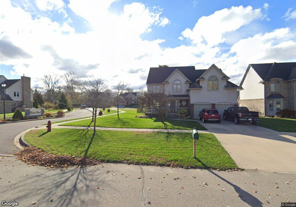
29959 Curtis Rd Unit 2 Livonia, MI 48152
Estimated Value: $380,000 - $468,000
4
Beds
3
Baths
2,144
Sq Ft
$197/Sq Ft
Est. Value
About This Home
This home is located at 29959 Curtis Rd Unit 2, Livonia, MI 48152 and is currently estimated at $421,867, approximately $196 per square foot. 29959 Curtis Rd Unit 2 is a home located in Wayne County with nearby schools including Coolidge Elementary School, Webster Elementary School, and Riley Upper Elementary School.
Ownership History
Date
Name
Owned For
Owner Type
Purchase Details
Closed on
Mar 9, 2012
Sold by
Pator John and Pator Maridara
Bought by
Catana Florica
Current Estimated Value
Purchase Details
Closed on
May 26, 2005
Sold by
Desanto Development Co Llc
Bought by
Pator John
Purchase Details
Closed on
Nov 5, 2004
Sold by
Desanto Vincent S and Desanto Frances I
Bought by
Desanto Development Co Llc
Create a Home Valuation Report for This Property
The Home Valuation Report is an in-depth analysis detailing your home's value as well as a comparison with similar homes in the area
Home Values in the Area
Average Home Value in this Area
Purchase History
| Date | Buyer | Sale Price | Title Company |
|---|---|---|---|
| Catana Florica | $130,000 | Title Connect Llc | |
| Pator John | $305,000 | Multiple | |
| Desanto Development Co Llc | -- | Liberty Title Commercial | |
| Desanto Vincent S | -- | Multiple |
Source: Public Records
Tax History Compared to Growth
Tax History
| Year | Tax Paid | Tax Assessment Tax Assessment Total Assessment is a certain percentage of the fair market value that is determined by local assessors to be the total taxable value of land and additions on the property. | Land | Improvement |
|---|---|---|---|---|
| 2025 | $4,034 | $223,800 | $0 | $0 |
| 2024 | $4,034 | $207,200 | $0 | $0 |
| 2023 | $3,437 | $187,000 | $0 | $0 |
| 2022 | $4,311 | $165,500 | $0 | $0 |
| 2021 | $4,187 | $156,100 | $0 | $0 |
| 2019 | $4,020 | $145,800 | $0 | $0 |
| 2018 | $2,066 | $129,900 | $0 | $0 |
| 2017 | $3,661 | $120,900 | $0 | $0 |
| 2016 | $3,825 | $118,000 | $0 | $0 |
| 2015 | $9,209 | $98,020 | $0 | $0 |
| 2012 | -- | $89,080 | $14,850 | $74,230 |
Source: Public Records
Map
Nearby Homes
- 29721 Pickford St
- 29836 Bobrich St
- 29560 Clarita St Unit 11
- 18659 Flamingo Blvd
- 18872 Hillcrest St
- 18725 Flamingo Blvd
- 30285 7 Mile Rd
- 29945 6 Mile Rd
- 30115 Munger Dr
- 31366 Mayville St
- 30425 Munger Dr
- 18061 Lathers St
- 19021 Merriman Rd
- 29675 Nottingham Cir Unit 20
- 18071 Floral St
- 18001 Floral St
- 18884 Lathers St
- 29766 Puritan St
- 18913 Gillman St
- 31069 Munger Dr
- 18060 Curtis Ct
- 29961 Curtis Rd
- 29943 Curtis Rd Unit 179
- 18050 Curtis Ct
- 29840 Curtis Rd
- 29828 Curtis Rd
- 18190 Melvin St
- 29805 Curtis Rd
- 29816 Curtis Rd
- 29977 Curtis Rd
- 18202 Melvin St
- 18090 Curtis Ct
- 29739 Curtis Rd
- 29985 Curtis Rd Unit 5
- 18052 Curtis Ct Unit 6
- 18084 Curtis Ct
- 29837 Trancrest St
- 29825 Trancrest St
- 18072 Curtis Ct
- 29813 Trancrest St