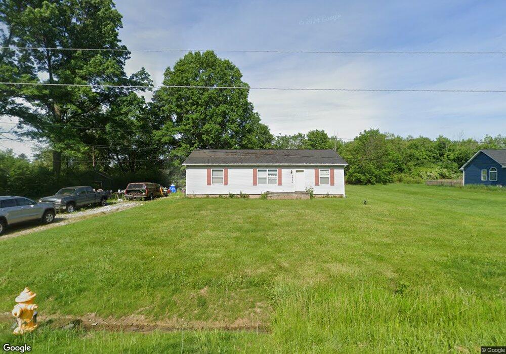
2996 Carl St Norton, OH 44203
Estimated Value: $210,000 - $237,000
3
Beds
1
Bath
1,152
Sq Ft
$194/Sq Ft
Est. Value
About This Home
This home is located at 2996 Carl St, Norton, OH 44203 and is currently estimated at $223,754, approximately $194 per square foot. 2996 Carl St is a home located in Summit County with nearby schools including Norton Primary Elementary School, Norton Middle School, and Norton High School.
Ownership History
Date
Name
Owned For
Owner Type
Purchase Details
Closed on
Jun 22, 1999
Sold by
Kidd Nora Sue
Bought by
First Financial Sercives Mtg Co
Current Estimated Value
Home Financials for this Owner
Home Financials are based on the most recent Mortgage that was taken out on this home.
Original Mortgage
$82,000
Outstanding Balance
$21,804
Interest Rate
7.15%
Estimated Equity
$201,950
Purchase Details
Closed on
May 28, 1999
Sold by
First Financial Services Mtg Co Inc
Bought by
Harris Kevin R
Home Financials for this Owner
Home Financials are based on the most recent Mortgage that was taken out on this home.
Original Mortgage
$82,000
Outstanding Balance
$21,804
Interest Rate
7.15%
Estimated Equity
$201,950
Create a Home Valuation Report for This Property
The Home Valuation Report is an in-depth analysis detailing your home's value as well as a comparison with similar homes in the area
Home Values in the Area
Average Home Value in this Area
Purchase History
| Date | Buyer | Sale Price | Title Company |
|---|---|---|---|
| First Financial Sercives Mtg Co | $90,000 | -- | |
| Harris Kevin R | $102,500 | Northeast Title Agency Inc |
Source: Public Records
Mortgage History
| Date | Status | Borrower | Loan Amount |
|---|---|---|---|
| Open | Harris Kevin R | $82,000 |
Source: Public Records
Tax History
| Year | Tax Paid | Tax Assessment Tax Assessment Total Assessment is a certain percentage of the fair market value that is determined by local assessors to be the total taxable value of land and additions on the property. | Land | Improvement |
|---|---|---|---|---|
| 2025 | $2,293 | $53,981 | $11,837 | $42,144 |
| 2024 | $2,293 | $53,981 | $11,837 | $42,144 |
| 2023 | $2,293 | $53,981 | $11,837 | $42,144 |
| 2022 | $2,255 | $44,247 | $9,702 | $34,545 |
| 2021 | $2,303 | $44,247 | $9,702 | $34,545 |
| 2020 | $2,161 | $44,250 | $9,700 | $34,550 |
| 2019 | $2,313 | $42,350 | $7,600 | $34,750 |
| 2018 | $2,275 | $42,350 | $7,600 | $34,750 |
| 2017 | $2,204 | $42,350 | $7,600 | $34,750 |
| 2016 | $2,204 | $37,580 | $7,600 | $29,980 |
| 2015 | $2,204 | $37,580 | $7,600 | $29,980 |
| 2014 | $2,184 | $37,580 | $7,600 | $29,980 |
| 2013 | $2,420 | $42,090 | $7,600 | $34,490 |
Source: Public Records
Map
Nearby Homes
- 2958 Moyer Ave
- 3320 Butternut Dr
- 2887 Greenridge Rd
- 3246 Stimson Rd
- 2910 S/L 17 Willow Way
- 2943 S/L 5 Willow Way
- 2891 S/L 10 Willow Way
- 2971 S/L 2 Willow Way
- 2902 S/L 16 Willow Way
- 3713 Easton Rd
- 3638 White Oak Dr
- 2938 S Hametown Rd
- 2921 Oakcrest Dr
- 3658 Knecht Rd
- 3649 Stradley Cir
- 3707 Creedmor Rd
- 3705 Creedmor Rd
- 3691 Lebbens Rd
- 3616 Everett Dr
- 3529 Clark Mill Rd
- 2984 Carl St
- V/L Carl St
- V/L Carl & Knecht Ave
- 2995 Carl St
- 2970 Carl St
- 69 Knecht
- 2983 Carl St
- 2954 Carl St
- 2955 Carl St
- 3135 Wadsworth Rd
- 3186 Cleveland Massillon Rd
- 3111 Wadsworth Rd
- 3133 Wadsworth Rd
- 3099 Wadsworth Rd
- 3158 Cleveland Massillon Rd
- 3093 Wadsworth Rd
- 3087 3089 Wadsworth Rd
- 3087 Wadsworth Rd Unit 3089
- 3148 S Cleveland Massillon Rd
- 3148 Cleveland Massillon Rd
Your Personal Tour Guide
Ask me questions while you tour the home.