Estimated Value: $153,059 - $213,000
3
Beds
1
Bath
1,080
Sq Ft
$176/Sq Ft
Est. Value
About This Home
This home is located at 2997 S County Road 25a, Troy, OH 45373 and is currently estimated at $190,015, approximately $175 per square foot. 2997 S County Road 25a is a home located in Miami County with nearby schools including Kyle Elementary School, Van Cleve Elementary School, and Troy Junior High School.
Ownership History
Date
Name
Owned For
Owner Type
Purchase Details
Closed on
Aug 24, 2012
Sold by
Industrial Investments Llc
Bought by
Black Family Fund Llc
Current Estimated Value
Purchase Details
Closed on
Oct 27, 2006
Sold by
Fsla Monroe
Bought by
Industrial Investment Group Llc
Purchase Details
Closed on
Aug 24, 2006
Sold by
Bowman Charles R
Bought by
Monroe Fsla
Purchase Details
Closed on
Mar 5, 2001
Sold by
Haas Esther M
Bought by
Bowman Charles R and Bowman Charlotte L
Create a Home Valuation Report for This Property
The Home Valuation Report is an in-depth analysis detailing your home's value as well as a comparison with similar homes in the area
Home Values in the Area
Average Home Value in this Area
Purchase History
| Date | Buyer | Sale Price | Title Company |
|---|---|---|---|
| Black Family Fund Llc | -- | Attorney | |
| Industrial Investment Group Llc | $90,000 | -- | |
| Monroe Fsla | $76,000 | -- | |
| Bowman Charles R | $75,000 | -- |
Source: Public Records
Tax History Compared to Growth
Tax History
| Year | Tax Paid | Tax Assessment Tax Assessment Total Assessment is a certain percentage of the fair market value that is determined by local assessors to be the total taxable value of land and additions on the property. | Land | Improvement |
|---|---|---|---|---|
| 2024 | $1,230 | $30,980 | $15,930 | $15,050 |
| 2023 | $1,230 | $30,980 | $15,930 | $15,050 |
| 2022 | $1,035 | $30,980 | $15,930 | $15,050 |
| 2021 | $848 | $23,840 | $12,250 | $11,590 |
| 2020 | $849 | $23,840 | $12,250 | $11,590 |
| 2019 | $857 | $23,840 | $12,250 | $11,590 |
| 2018 | $746 | $19,740 | $7,700 | $12,040 |
| 2017 | $753 | $19,740 | $7,700 | $12,040 |
| 2016 | $743 | $19,740 | $7,700 | $12,040 |
| 2015 | $773 | $19,740 | $7,700 | $12,040 |
| 2014 | $773 | $19,740 | $7,700 | $12,040 |
| 2013 | $778 | $19,740 | $7,700 | $12,040 |
Source: Public Records
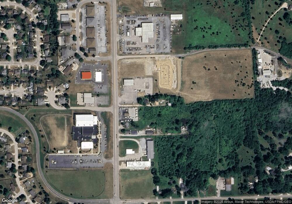
Map
Nearby Homes
- 2765 Silver Maple Ct
- 203 Boone Dr
- 445 Wisteria Dr
- 660 Wisteria Dr
- 0 Lincolnshire Unit 939331
- 1701 Chevington Chase
- 2065 S Co Road 25a
- 768 Stonehenge Dr
- 2215 Merrimont Dr
- 1117 Honeydew Dr
- 1216 Wind Rock Ct
- 745 Chelsea Ln
- Spruce Plan at Summit Landing
- Norway Plan at Summit Landing
- Chestnut Plan at Summit Landing
- Juniper Plan at Summit Landing
- Palmetto Plan at Summit Landing
- Ashton Plan at Summit Landing
- Empress Plan at Summit Landing
- Ironwood Plan at Summit Landing
- 3055 S County Road 25a
- 3055 S County Road 25a
- 2950 Stone Circle Dr
- 2805 S County Road 25a
- 2940 Stone Circle Dr
- 2930 Stone Circle Dr
- 2928 Stone Circle Dr
- 2858 S Co Road 25a
- 125 Trader Ct
- 2826 S County Road 25a
- 133 Trader Ct
- 2830 S County Road 25a
- 2820 S County Road 25a Unit Rear
- 0 S Co Road 25a Unit 1011182
- 0 S Co Road 25a Unit 842620
- 0 S Co Road 25a Unit 1003489
- 0 S Co Road 25a Unit 817996
- 0 S Co Road 25a Unit 810312
- 0 S Co Road 25a Unit 1001124
- 0 S Co Road 25a Unit 215871