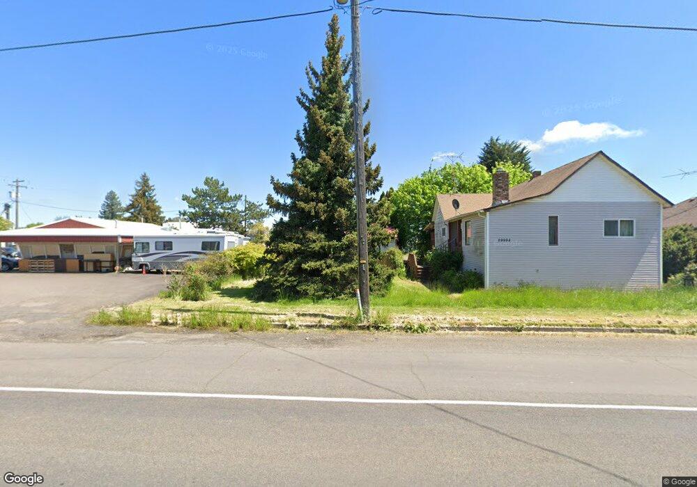
29995 Highway 99e Shedd, OR 97377
Shedd NeighborhoodEstimated Value: $290,000
4
Beds
1
Bath
1,270
Sq Ft
$228/Sq Ft
Est. Value
About This Home
This home is located at 29995 Highway 99e, Shedd, OR 97377 and is currently estimated at $290,000, approximately $228 per square foot. 29995 Highway 99e is a home located in Linn County with nearby schools including Central Linn Elementary School and Central Linn High School.
Ownership History
Date
Name
Owned For
Owner Type
Purchase Details
Closed on
Mar 22, 2022
Sold by
Schneider Glenn F
Bought by
Blankenship Paul A
Current Estimated Value
Home Financials for this Owner
Home Financials are based on the most recent Mortgage that was taken out on this home.
Original Mortgage
$472,500
Outstanding Balance
$470,015
Interest Rate
4.16%
Mortgage Type
Credit Line Revolving
Estimated Equity
-$180,015
Create a Home Valuation Report for This Property
The Home Valuation Report is an in-depth analysis detailing your home's value as well as a comparison with similar homes in the area
Home Values in the Area
Average Home Value in this Area
Purchase History
| Date | Buyer | Sale Price | Title Company |
|---|---|---|---|
| Blankenship Paul A | $110,000 | None Listed On Document |
Source: Public Records
Mortgage History
| Date | Status | Borrower | Loan Amount |
|---|---|---|---|
| Open | Blankenship Paul A | $472,500 | |
| Closed | Blankenship Paul A | $472,500 |
Source: Public Records
Tax History Compared to Growth
Tax History
| Year | Tax Paid | Tax Assessment Tax Assessment Total Assessment is a certain percentage of the fair market value that is determined by local assessors to be the total taxable value of land and additions on the property. | Land | Improvement |
|---|---|---|---|---|
| 2025 | $1,732 | $158,050 | -- | -- |
| 2024 | $1,682 | $153,450 | -- | -- |
| 2023 | $1,632 | $148,990 | $0 | $0 |
| 2022 | $1,586 | $144,660 | $0 | $0 |
| 2021 | $1,510 | $140,450 | $0 | $0 |
| 2020 | $1,482 | $136,360 | $0 | $0 |
| 2019 | $1,449 | $132,390 | $0 | $0 |
| 2018 | $1,407 | $128,540 | $0 | $0 |
| 2017 | $1,367 | $124,800 | $0 | $0 |
| 2016 | $1,318 | $121,170 | $0 | $0 |
| 2015 | $1,233 | $117,090 | $0 | $0 |
| 2014 | $1,159 | $110,260 | $0 | $0 |
Source: Public Records
Map
Nearby Homes
- 30045 Highway 99e
- Lot 416 Powell Hills Loop
- 115 E 2nd St
- 30274 Peoria Rd
- 391 W 1st St
- 355 W 4th St
- 455 W D St
- 485 E 2nd St
- 991 W 4th St
- 32300 Old Oak Dr
- Next to 511 W O St
- 32072 Birdfoot Dr
- 1590 W 2nd St
- 31922 Meadowlark Loop
- 31843 Meadowlark Loop
- 31919 N Lake Creek (Unit 35 ) Dr
- 29109 Brownsville Rd
- 29015 Brownsville Rd
- 33270 Highway 99e
- 31575 Sand Ridge Rd
- 29989 Highway 99e
- 30005 Oregon 99e
- 30005 Highway 99e
- 29985 Highway 99e
- 29996 1st St
- 31911 C St
- 30000 Highway 99e
- 30006 Highway 99e
- 29980 Highway 99e
- 31925 B St
- 30025 Highway 99e
- 29969 Highway 99e
- 31887 B St
- 31910 C St
- 29974 Highway 99e
- 30033 Highway 99e
- 30030 Highway 99e
- 30036 1st St
- 30036 Highway 99e
- 29945 Highway 99e