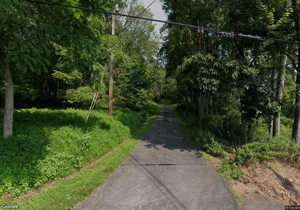
299B Dairy Rd Berwick, PA 18603
Estimated Value: $215,000 - $277,000
--
Bed
--
Bath
1,764
Sq Ft
$139/Sq Ft
Est. Value
About This Home
This home is located at 299B Dairy Rd, Berwick, PA 18603 and is currently estimated at $245,806, approximately $139 per square foot. 299B Dairy Rd is a home located in Columbia County with nearby schools including Berwick Area High School.
Ownership History
Date
Name
Owned For
Owner Type
Purchase Details
Closed on
Oct 27, 2016
Sold by
Edwards Charles M and Edwards Renee L
Bought by
Kashner Bradley A
Current Estimated Value
Home Financials for this Owner
Home Financials are based on the most recent Mortgage that was taken out on this home.
Original Mortgage
$175,698
Outstanding Balance
$141,321
Interest Rate
3.48%
Mortgage Type
VA
Estimated Equity
$104,485
Purchase Details
Closed on
Jan 28, 2009
Sold by
Edwards Charles E
Bought by
Edwards Charles M and Bushman Laurel Ann
Create a Home Valuation Report for This Property
The Home Valuation Report is an in-depth analysis detailing your home's value as well as a comparison with similar homes in the area
Home Values in the Area
Average Home Value in this Area
Purchase History
| Date | Buyer | Sale Price | Title Company |
|---|---|---|---|
| Kashner Bradley A | $172,000 | None Available | |
| Edwards Charles M | -- | None Available |
Source: Public Records
Mortgage History
| Date | Status | Borrower | Loan Amount |
|---|---|---|---|
| Open | Kashner Bradley A | $175,698 |
Source: Public Records
Tax History Compared to Growth
Tax History
| Year | Tax Paid | Tax Assessment Tax Assessment Total Assessment is a certain percentage of the fair market value that is determined by local assessors to be the total taxable value of land and additions on the property. | Land | Improvement |
|---|---|---|---|---|
| 2025 | $3,795 | $49,581 | $0 | $0 |
| 2024 | $3,721 | $49,581 | $8,855 | $40,726 |
| 2023 | $3,423 | $49,581 | $8,855 | $40,726 |
| 2022 | $3,288 | $49,581 | $8,855 | $40,726 |
| 2021 | $3,201 | $49,581 | $8,855 | $40,726 |
| 2020 | $3,113 | $49,581 | $8,855 | $40,726 |
| 2019 | $3,103 | $49,581 | $8,855 | $40,726 |
| 2018 | $3,105 | $49,581 | $8,855 | $40,726 |
| 2017 | $3,117 | $49,581 | $8,855 | $40,726 |
| 2016 | -- | $49,581 | $8,855 | $40,726 |
| 2015 | -- | $49,581 | $8,855 | $40,726 |
| 2014 | -- | $49,581 | $8,855 | $40,726 |
Source: Public Records
Map
Nearby Homes
- 377 Summerhill Rd
- 0 Laurel Run Rd Unit 20-97563
- 136 Twin Church Rd
- 2759 Heights Rd
- 0 Hemlock Springs Dr
- 7 Mill Rd
- 543 Boulder Dr
- 178 Schooners Run
- 364 Bowers Rd
- 541 Summerhill Ave
- 900 E 16th St
- 0 Ruthann Dr
- 516 Broad St
- 1030 Ruthann Dr
- 0 Laurel Dr
- 330 Mary St
- 1609 Salem St
- 1624 Walnut St
- 1830 Chestnut St
- 1703 Walnut St
- 299A Dairy Rd
- 293 Dairy Rd
- 592 Moores Hill Rd
- 289 Dairy Rd
- 283 Dairy Rd
- 310 Dairy Rd
- 296 Dairy Rd
- 278 Dairy Rd
- 274 Dairy Rd
- 13 Woodland Acres Ln
- 0 Dairy Rd
- 259 Dairy Rd
- 537 Moores Hill Rd
- 19 Woodland Acres Ln
- 12 Woodland Acres Ln
- 286 Dairy Rd
- 25 Woodland Acres Ln
- 22 Woodland Acres Ln
- 258 Dairy Rd
- 258 Dairy Rd
