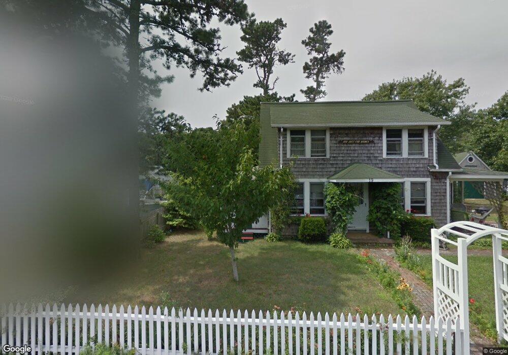
2A Dean Rd Dennis Port, MA 02639
Dennis Port NeighborhoodEstimated Value: $406,000 - $514,267
2
Beds
2
Baths
554
Sq Ft
$862/Sq Ft
Est. Value
About This Home
This home is located at 2A Dean Rd, Dennis Port, MA 02639 and is currently estimated at $477,317, approximately $861 per square foot. 2A Dean Rd is a home located in Barnstable County with nearby schools including Dennis-Yarmouth Regional High School and St. Pius X. School.
Ownership History
Date
Name
Owned For
Owner Type
Purchase Details
Closed on
Jul 9, 2013
Sold by
Messina Marc and Messina Amy B
Bought by
Hastings Terrence
Current Estimated Value
Home Financials for this Owner
Home Financials are based on the most recent Mortgage that was taken out on this home.
Original Mortgage
$144,000
Outstanding Balance
$101,147
Interest Rate
3.59%
Mortgage Type
New Conventional
Estimated Equity
$376,170
Purchase Details
Closed on
Aug 24, 2006
Sold by
Buckley Paul and Buckley Susan J
Bought by
Messina Amy and Messina Marc A
Home Financials for this Owner
Home Financials are based on the most recent Mortgage that was taken out on this home.
Original Mortgage
$244,194
Interest Rate
6.83%
Mortgage Type
Purchase Money Mortgage
Purchase Details
Closed on
Mar 19, 2004
Sold by
Stewart John and Stewart Patricia A
Bought by
Buckley Paul and Ross Susan J
Home Financials for this Owner
Home Financials are based on the most recent Mortgage that was taken out on this home.
Original Mortgage
$160,000
Interest Rate
5.71%
Mortgage Type
Purchase Money Mortgage
Create a Home Valuation Report for This Property
The Home Valuation Report is an in-depth analysis detailing your home's value as well as a comparison with similar homes in the area
Home Values in the Area
Average Home Value in this Area
Purchase History
| Date | Buyer | Sale Price | Title Company |
|---|---|---|---|
| Hastings Terrence | -- | -- | |
| Messina Amy | $241,500 | -- | |
| Buckley Paul | $200,000 | -- |
Source: Public Records
Mortgage History
| Date | Status | Borrower | Loan Amount |
|---|---|---|---|
| Open | Hastings Terrence | $144,000 | |
| Previous Owner | Messina Amy | $244,194 | |
| Previous Owner | Buckley Paul | $160,000 |
Source: Public Records
Tax History
| Year | Tax Paid | Tax Assessment Tax Assessment Total Assessment is a certain percentage of the fair market value that is determined by local assessors to be the total taxable value of land and additions on the property. | Land | Improvement |
|---|---|---|---|---|
| 2025 | $1,982 | $457,700 | $246,600 | $211,100 |
| 2024 | $1,857 | $422,900 | $237,100 | $185,800 |
| 2023 | $1,796 | $384,500 | $215,600 | $168,900 |
| 2022 | $1,680 | $300,000 | $169,900 | $130,100 |
| 2021 | $1,632 | $270,600 | $166,600 | $104,000 |
| 2020 | $1,608 | $263,600 | $166,600 | $97,000 |
| 2019 | $1,627 | $263,700 | $177,300 | $86,400 |
| 2018 | $1,562 | $246,400 | $168,800 | $77,600 |
| 2017 | $1,419 | $230,700 | $155,500 | $75,200 |
| 2016 | $1,371 | $210,000 | $146,600 | $63,400 |
| 2015 | $1,344 | $210,000 | $146,600 | $63,400 |
| 2014 | $1,264 | $199,100 | $137,700 | $61,400 |
Source: Public Records
Map
Nearby Homes
- 9 Chase Ave Unit 6
- 65 Inman Rd Unit A
- 65 Inman Rd Unit A
- 67 Inman Rd Unit E
- 97 Depot St
- 59 Sea St
- 18 Manning Rd
- 34 Pleasant St Unit 3
- 1 E Belmont Unit 513
- 1 E Belmont Unit 425
- 1 E Belmont Unit TH18
- 1 E Belmont Unit 22
- 1 E Belmont Unit 541
- 18 Cross St
- 6 Oak St
- 37A Beach Hills Rd
- 1 Belmont Rd Unit 22
- 1 Belmont Rd Unit 425
- 1 Belmont Rd Unit 630
- 1 Belmont Rd Unit 541
Your Personal Tour Guide
Ask me questions while you tour the home.