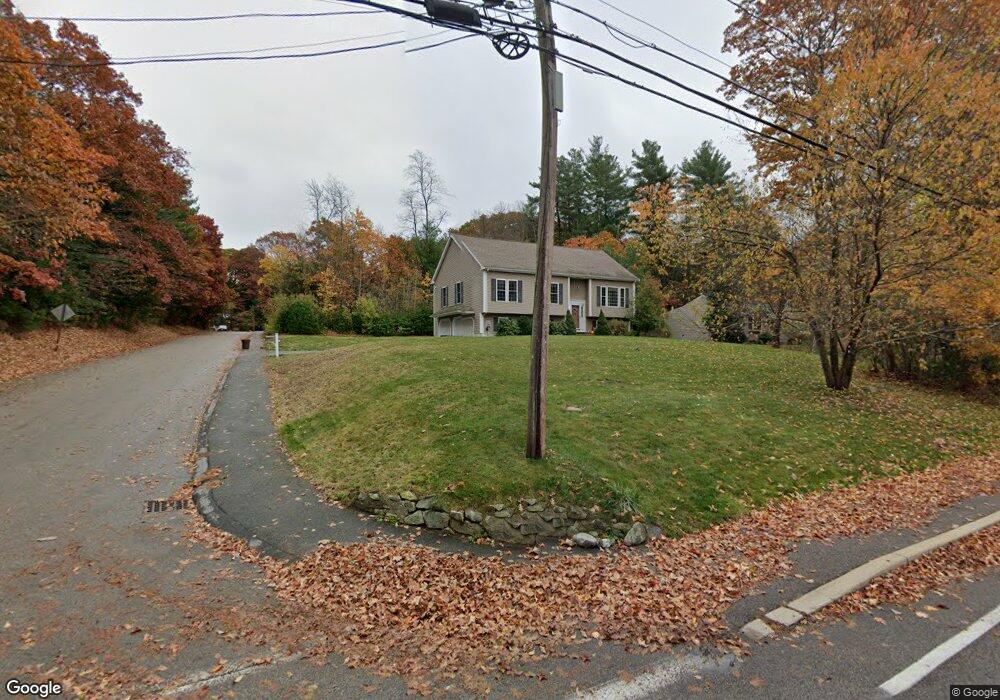
2A Flintlock Ln Medway, MA 02053
Estimated Value: $689,000 - $755,000
3
Beds
3
Baths
1,510
Sq Ft
$474/Sq Ft
Est. Value
About This Home
This home is located at 2A Flintlock Ln, Medway, MA 02053 and is currently estimated at $716,421, approximately $474 per square foot. 2A Flintlock Ln is a home with nearby schools including John D. McGovern Elementary School, Burke-Memorial Elementary, and Medway Middle School.
Ownership History
Date
Name
Owned For
Owner Type
Purchase Details
Closed on
Sep 12, 2008
Sold by
Vinton Byron S
Bought by
East John R and East Darlene L
Current Estimated Value
Home Financials for this Owner
Home Financials are based on the most recent Mortgage that was taken out on this home.
Original Mortgage
$260,000
Outstanding Balance
$173,432
Interest Rate
6.58%
Mortgage Type
Purchase Money Mortgage
Estimated Equity
$542,989
Create a Home Valuation Report for This Property
The Home Valuation Report is an in-depth analysis detailing your home's value as well as a comparison with similar homes in the area
Home Values in the Area
Average Home Value in this Area
Purchase History
| Date | Buyer | Sale Price | Title Company |
|---|---|---|---|
| East John R | $151,000 | -- |
Source: Public Records
Mortgage History
| Date | Status | Borrower | Loan Amount |
|---|---|---|---|
| Open | East John R | $260,000 |
Source: Public Records
Tax History
| Year | Tax Paid | Tax Assessment Tax Assessment Total Assessment is a certain percentage of the fair market value that is determined by local assessors to be the total taxable value of land and additions on the property. | Land | Improvement |
|---|---|---|---|---|
| 2025 | $9,247 | $648,900 | $323,700 | $325,200 |
| 2024 | $9,344 | $648,900 | $323,700 | $325,200 |
| 2023 | $9,663 | $606,200 | $294,600 | $311,600 |
| 2022 | $8,460 | $499,700 | $217,900 | $281,800 |
| 2021 | $8,400 | $481,100 | $203,300 | $277,800 |
| 2020 | $8,218 | $469,600 | $203,300 | $266,300 |
| 2019 | $7,655 | $451,100 | $195,000 | $256,100 |
| 2018 | $7,195 | $407,400 | $186,700 | $220,700 |
| 2017 | $7,190 | $401,200 | $182,600 | $218,600 |
| 2016 | $7,003 | $386,700 | $168,100 | $218,600 |
| 2015 | $7,053 | $386,700 | $166,000 | $220,700 |
| 2014 | $6,875 | $364,900 | $166,000 | $198,900 |
Source: Public Records
Map
Nearby Homes
- 79 Lovering St Unit B
- 106 Holliston St
- 176 Main St Unit 3
- 5 Richardson St
- 2 Mechanic St Unit 1
- 33 Gorwin Dr
- 50 Main St
- 40 Timber Crest Dr
- 19 Sycamore Way
- 4 Shaw St
- 10 Franklin St
- 10 Prospect St
- 17 Fairway Ln
- 6 Freedom Trail
- 11 Fairway Ln
- 204 Village St
- 6 Kingson Ln Unit 2
- 23 North St
- 20 Broad St Unit 1
- 20 Broad St Unit 6