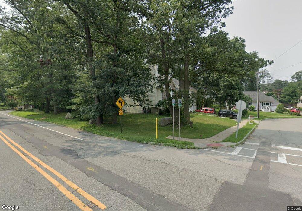
2A Grove Rd Stanhope, NJ 07874
Estimated Value: $564,000 - $603,000
Studio
--
Bath
1,710
Sq Ft
$340/Sq Ft
Est. Value
About This Home
This home is located at 2A Grove Rd, Stanhope, NJ 07874 and is currently estimated at $581,911, approximately $340 per square foot. 2A Grove Rd is a home located in Sussex County with nearby schools including Valley Road School and Lenape Val Regional High School.
Ownership History
Date
Name
Owned For
Owner Type
Purchase Details
Closed on
Sep 25, 2009
Sold by
Miller Jonathan and Miller Kerri Lynn
Bought by
Castillo Randy and Castillo Minette
Current Estimated Value
Home Financials for this Owner
Home Financials are based on the most recent Mortgage that was taken out on this home.
Original Mortgage
$368,207
Outstanding Balance
$240,924
Interest Rate
5.12%
Mortgage Type
FHA
Estimated Equity
$340,987
Purchase Details
Closed on
Jan 4, 2005
Sold by
Cronheim Robert and Sampson Ruth C
Bought by
Miller Jonathan and Miller Kerri Lynn
Home Financials for this Owner
Home Financials are based on the most recent Mortgage that was taken out on this home.
Original Mortgage
$42,950
Interest Rate
5.13%
Mortgage Type
Credit Line Revolving
Create a Home Valuation Report for This Property
The Home Valuation Report is an in-depth analysis detailing your home's value as well as a comparison with similar homes in the area
Home Values in the Area
Average Home Value in this Area
Purchase History
| Date | Buyer | Sale Price | Title Company |
|---|---|---|---|
| Castillo Randy | $375,000 | None Available | |
| Miller Jonathan | $286,500 | Couch-Braunsdorf Title Agenc |
Source: Public Records
Mortgage History
| Date | Status | Borrower | Loan Amount |
|---|---|---|---|
| Open | Castillo Randy | $368,207 | |
| Previous Owner | Miller Jonathan | $42,950 | |
| Previous Owner | Miller Jonathan | $229,200 |
Source: Public Records
Tax History
| Year | Tax Paid | Tax Assessment Tax Assessment Total Assessment is a certain percentage of the fair market value that is determined by local assessors to be the total taxable value of land and additions on the property. | Land | Improvement |
|---|---|---|---|---|
| 2025 | $13,041 | $288,900 | $72,000 | $216,900 |
| 2024 | $12,784 | $288,900 | $72,000 | $216,900 |
Source: Public Records
Map
Nearby Homes
- 58 Brooklyn Rd
- 8 Spencer St
- 2 Roberts Place
- 49 Brooklyn Rd
- 7 Walton Place
- 8 Hillside Ave
- 4 Elizabeth Ave
- 579 Dell Place Unit 79
- 573 Dell Place Unit 73
- 329 Alpine Ct Unit 29
- 15291 Aspen Ct Unit 291
- 16298 Dell Place Unit 298
- 1 Smith St
- 22 Lloyd Ave
- 16-18 King St
- 79 Main St
- 2007A Stonegate Ln Unit 2007A
- 0 Swayze Pl Lawrence Ave
- 4 Woods Ave
- 74 Main St
Your Personal Tour Guide
Ask me questions while you tour the home.