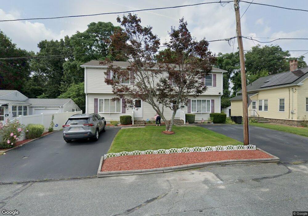
2B Eustis St Worcester, MA 01606
Burncoat NeighborhoodEstimated Value: $375,000 - $492,000
2
Beds
2
Baths
1,296
Sq Ft
$320/Sq Ft
Est. Value
About This Home
This home is located at 2B Eustis St, Worcester, MA 01606 and is currently estimated at $415,176, approximately $320 per square foot. 2B Eustis St is a home located in Worcester County with nearby schools including Norrback Avenue Elementary School, Jacob Hiatt Magnet School, and Chandler Magnet.
Create a Home Valuation Report for This Property
The Home Valuation Report is an in-depth analysis detailing your home's value as well as a comparison with similar homes in the area
Home Values in the Area
Average Home Value in this Area
Map
Nearby Homes
- 48 Whispering Pine Cir Unit 48
- 12 Beale St
- 10 Beale St
- 156 Hillside Village Dr
- 1110 W Boylston St Unit A
- 71 Hillside Village Dr
- 69 Santoro Rd
- 1 Highland Ave
- 6 Meadowbrook Dr
- 31 Danielles Way
- 22 Danielles Way
- 26 Danielles Way
- 53 Collins St
- 30 Osgood Ave
- 39 Mountainshire Dr
- 38 Juniper Ln
- 13 Fatima Ln
- 30 Danielles Way
- 18 Danielles Way
- 66 Eunice Ave
Your Personal Tour Guide
Ask me questions while you tour the home.