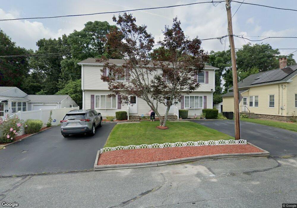
2B Eustis St Worcester, MA 01606
Burncoat NeighborhoodEstimated Value: $388,912 - $483,000
2
Beds
2
Baths
1,296
Sq Ft
$339/Sq Ft
Est. Value
About This Home
This home is located at 2B Eustis St, Worcester, MA 01606 and is currently estimated at $439,978, approximately $339 per square foot. 2B Eustis St is a home located in Worcester County with nearby schools including Norrback Avenue Elementary School, Jacob Hiatt Magnet School, and Chandler Magnet.
Create a Home Valuation Report for This Property
The Home Valuation Report is an in-depth analysis detailing your home's value as well as a comparison with similar homes in the area
Home Values in the Area
Average Home Value in this Area
Tax History
We collect this data history from publicly available records. To have your information removed, we recommend requesting removal directly through your county’s website.
| Year | Tax Paid | Tax Assessment Tax Assessment Total Assessment is a certain percentage of the fair market value that is determined by local assessors to be the total taxable value of land and additions on the property. | Land | Improvement |
|---|---|---|---|---|
| 2025 | $4,318 | $327,400 | $85,400 | $242,000 |
| 2024 | $4,103 | $298,400 | $85,400 | $213,000 |
| 2023 | $3,925 | $273,700 | $74,200 | $199,500 |
| 2022 | $3,532 | $232,200 | $59,400 | $172,800 |
| 2021 | $3,311 | $203,400 | $47,500 | $155,900 |
| 2020 | $3,235 | $190,300 | $47,500 | $142,800 |
| 2019 | $3,114 | $173,000 | $42,800 | $130,200 |
| 2018 | $3,120 | $165,000 | $42,800 | $122,200 |
| 2017 | $2,960 | $154,000 | $42,800 | $111,200 |
| 2016 | $2,908 | $141,100 | $32,300 | $108,800 |
| 2015 | $2,832 | $141,100 | $32,300 | $108,800 |
| 2014 | $2,757 | $141,100 | $32,300 | $108,800 |
Source: Public Records
Map
Nearby Homes
- 56 Whispering Pine Cir Unit 56
- 169 Hillside Village Dr
- 17 Bonnie View Dr
- 156 Hillside Village Dr
- 670 Burncoat St Unit A
- 18 Kennebec St
- 18B Kennebec St
- 24 Maplewood Ave
- 20 Highland Ave
- 10 Angell Brook Dr Unit 10
- 42 Castine St Unit A
- 21 Arrowsic St
- 149 Woodland St
- 91 Bunkerhill Pkwy
- 6 Idalla Ave
- 923 W Boylston St
- 25 Kings Mountain Dr
- 17 Reynolds St
- 29R E Mountain St
- 87 Malden St
Your Personal Tour Guide
Ask me questions while you tour the home.