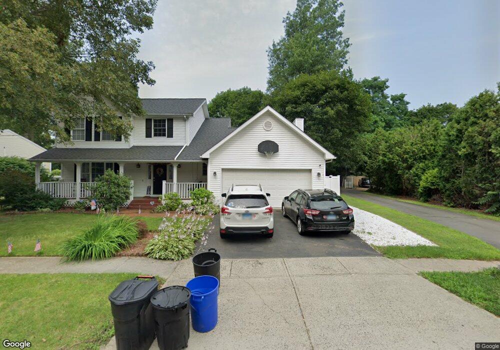
2B Topstone Dr Bethel, CT 06801
Estimated Value: $595,862 - $617,000
3
Beds
3
Baths
1,858
Sq Ft
$324/Sq Ft
Est. Value
About This Home
This home is located at 2B Topstone Dr, Bethel, CT 06801 and is currently estimated at $602,466, approximately $324 per square foot. 2B Topstone Dr is a home located in Fairfield County with nearby schools including R.M.T. Johnson School, Bethel Middle School, and Bethel High School.
Ownership History
Date
Name
Owned For
Owner Type
Purchase Details
Closed on
Dec 11, 2019
Sold by
Verrochi Susan C
Bought by
Canil Michael and Faugno Kathryn
Current Estimated Value
Purchase Details
Closed on
Jun 16, 2005
Sold by
Weichert Fin Resource
Bought by
Wyard Susan
Home Financials for this Owner
Home Financials are based on the most recent Mortgage that was taken out on this home.
Original Mortgage
$225,000
Interest Rate
5.78%
Mortgage Type
Purchase Money Mortgage
Purchase Details
Closed on
May 22, 1997
Sold by
Neill Victor L and Neill Karen M
Bought by
Coates Richard T and Coates Ruth C
Purchase Details
Closed on
May 14, 1996
Sold by
Morse Development Llc
Bought by
Neill Victor L and Neill Karen
Create a Home Valuation Report for This Property
The Home Valuation Report is an in-depth analysis detailing your home's value as well as a comparison with similar homes in the area
Home Values in the Area
Average Home Value in this Area
Purchase History
| Date | Buyer | Sale Price | Title Company |
|---|---|---|---|
| Canil Michael | $383,000 | None Available | |
| Wyard Susan | $444,900 | -- | |
| Coates Richard T | $207,000 | -- | |
| Neill Victor L | $191,000 | -- |
Source: Public Records
Mortgage History
| Date | Status | Borrower | Loan Amount |
|---|---|---|---|
| Previous Owner | Neill Victor L | $211,000 | |
| Previous Owner | Neill Victor L | $218,000 | |
| Previous Owner | Neill Victor L | $225,000 | |
| Previous Owner | Neill Victor L | $169,050 |
Source: Public Records
Tax History Compared to Growth
Tax History
| Year | Tax Paid | Tax Assessment Tax Assessment Total Assessment is a certain percentage of the fair market value that is determined by local assessors to be the total taxable value of land and additions on the property. | Land | Improvement |
|---|---|---|---|---|
| 2025 | $10,452 | $343,700 | $84,000 | $259,700 |
| 2024 | $10,026 | $343,700 | $84,000 | $259,700 |
| 2023 | $9,771 | $343,700 | $84,000 | $259,700 |
| 2022 | $8,680 | $250,950 | $84,000 | $166,950 |
| 2021 | $8,598 | $250,950 | $84,000 | $166,950 |
| 2020 | $8,467 | $250,950 | $84,000 | $166,950 |
| 2019 | $8,326 | $249,200 | $84,000 | $165,200 |
| 2018 | $8,191 | $249,200 | $84,000 | $165,200 |
| 2017 | $7,870 | $239,350 | $78,140 | $161,210 |
| 2016 | $7,700 | $239,350 | $78,140 | $161,210 |
| 2015 | $7,702 | $239,350 | $78,140 | $161,210 |
| 2014 | $7,668 | $238,790 | $78,140 | $160,650 |
Source: Public Records
Map
Nearby Homes
- 2 Chestnut St
- 95 Chestnut St Unit D
- 48 & 50 Nashville Rd
- 4 Winthrop Rd
- 66 Nashville Rd Unit L
- 4 Bailey Blvd Unit 4
- 2 Judd Ave
- 51 Kingswood Dr
- 2 Honey Hollow Dr
- 12 Eagle Rock Hill Unit 12
- 10 Buckboard Ridge
- 66 Putnam Park Rd
- 12 Canaan Dr
- 37 Whittlesey Dr
- 148 Grassy Plain St Unit B
- 17 Briar Ridge Dr Unit 17
- 25 Wolfpits Rd
- 27 Long Meadow Ln
- 3 Terry Dr
- 21 Oven Rock Rd
- 2 Topstone Dr
- 2A Topstone Dr
- 42 Greenwood Ave
- 44 Greenwood Ave
- 4 Topstone Dr
- 3 Topstone Dr
- 3 Topstone Dr Unit 5
- 46 Greenwood Ave
- 1 Topstone Dr
- 7 Topstone Dr
- 48 Greenwood Ave
- 8 Topstone Dr
- 49 Hoyts Hill
- 10 Topstone Dr
- 11 Waterhorse Brook Dr
- 6 Topstone Dr
- 53 Hoyts Hill
- 12 Topstone Dr
- 11 Topstone Dr
- 54 Greenwood Ave