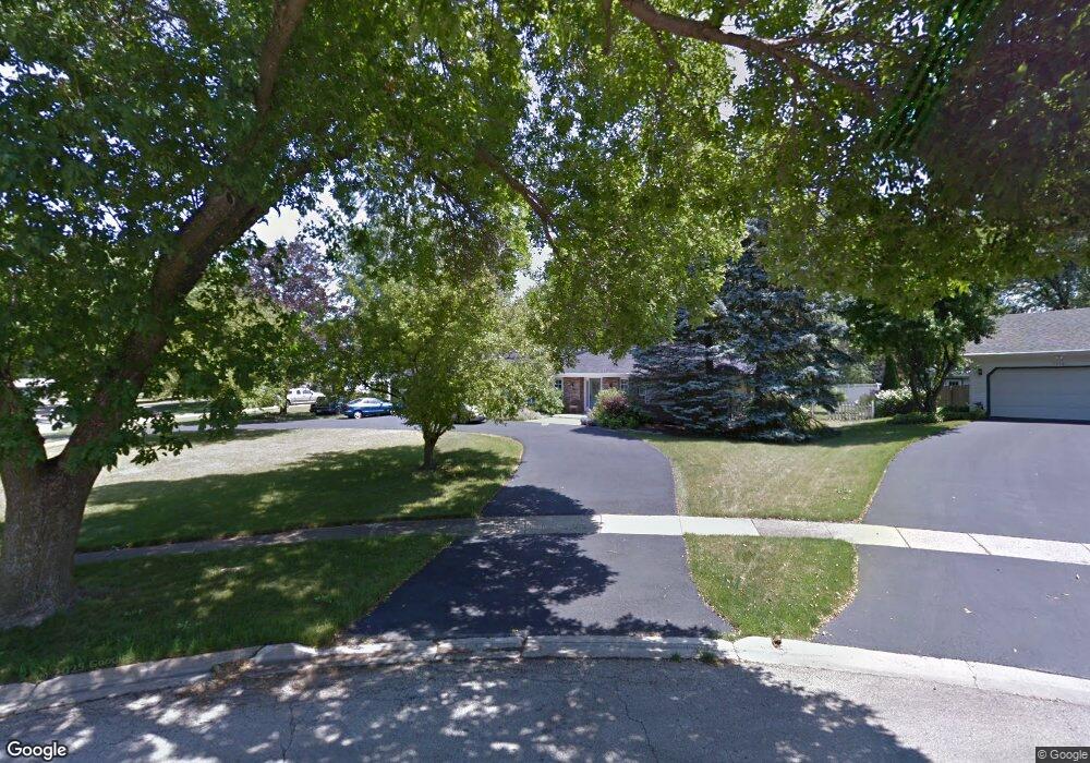
2S073 Apache Dr Wheaton, IL 60189
Arrowhead NeighborhoodEstimated Value: $589,011 - $735,000
About This Home
This home is located at 2S073 Apache Dr, Wheaton, IL 60189 and is currently estimated at $690,753, approximately $326 per square foot. 2S073 Apache Dr is a home located in DuPage County with nearby schools including Wiesbrook Elementary School, Hubble Middle School, and Wheaton Warrenville South High School.
Ownership History
We collect this data history from publicly available records. To have your information removed, we recommend requesting removal directly through your county’s website.
Purchase Details
Purchase Details
Home Financials for this Owner
Home Financials are based on the most recent Mortgage that was taken out on this home.Purchase Details
Purchase Details
Purchase Details
Purchase Details
Purchase Details
Purchase Details
Home Financials for this Owner
Home Financials are based on the most recent Mortgage that was taken out on this home.Home Values in the Area
Average Home Value in this Area
Purchase History
We collect this data history from publicly available records. To have your information removed, we recommend requesting removal directly through your county’s website.
| Date | Buyer | Sale Price | Title Company |
|---|---|---|---|
| -- | Chicago Title | ||
| -- | Dukane Title Insurance Co | ||
| -- | -- | ||
| -- | -- | ||
| -- | -- | ||
| -- | -- | ||
| -- | -- | ||
| -- | Chicago Title Insurance Co | ||
| $254,000 | -- |
Mortgage History
We collect this data history from publicly available records. To have your information removed, we recommend requesting removal directly through your county’s website.
| Date | Status | Borrower | Loan Amount |
|---|---|---|---|
| Previous Owner | $210,000 | ||
| Previous Owner | $203,150 |
Tax History
We collect this data history from publicly available records. To have your information removed, we recommend requesting removal directly through your county’s website.
| Year | Tax Paid | Tax Assessment Tax Assessment Total Assessment is a certain percentage of the fair market value that is determined by local assessors to be the total taxable value of land and additions on the property. | Land | Improvement |
|---|---|---|---|---|
| 2024 | $9,193 | $159,972 | $40,816 | $119,156 |
| 2023 | $8,748 | $147,250 | $37,570 | $109,680 |
| 2022 | $8,667 | $139,160 | $35,500 | $103,660 |
| 2021 | $8,577 | $135,860 | $34,660 | $101,200 |
| 2020 | $8,520 | $134,600 | $34,340 | $100,260 |
| 2019 | $8,636 | $131,040 | $33,430 | $97,610 |
| 2018 | $7,867 | $120,410 | $31,500 | $88,910 |
| 2017 | $7,736 | $115,970 | $30,340 | $85,630 |
| 2016 | $7,633 | $111,340 | $29,130 | $82,210 |
| 2015 | $7,577 | $106,220 | $27,790 | $78,430 |
| 2014 | $7,936 | $108,940 | $27,600 | $81,340 |
| 2013 | $7,693 | $109,260 | $27,680 | $81,580 |
Map
- 101 Carrol Gate Rd
- 1862 W Wiesbrook Rd
- 1570 Orchard Rd
- 1601 W Wiesbrook Rd
- 2101 Timber Ln
- 1520 Stonebridge Trail Unit 2-1
- 25W328 Plamondon Rd
- 1482 Pebblestone Cove
- 141 Loretto Ct
- 1518 Center Ave
- 1028 Lodalia Ct
- 63 Muirfield Cir
- 1969 Wexford Cir Unit 118
- 1106 Lyford Ln
- 1420 Stonebridge Cir Unit 5N
- 1440 Stonebridge Cir Unit J12
- 2012 Cromwell Dr
- 1477 S County Farm Rd Unit 1-1
- 1010 Lyford Ln
- 1755 S Wiesbrook Rd
- 2S061 Apache Dr
- 2S101 Apache Dr
- 2S076 Orchard Rd
- 2S064 Orchard Rd
- 2S049 Apache Dr
- 2S088 Orchard Rd
- 2S109 Apache Dr
- 2S110 Orchard Rd
- 2S050 Apache Dr
- 25W668 Chieftain Ln
- 2S111 Apache Dr
- 2S037 Apache Dr
- 25W619 Flint Creek Dr
- 2S122 Orchard Rd
- 2S088 Apache Dr
- 25W700 Chieftain Ln
- 25W663 Flint Creek Dr
- 73 Orchard Rd
- 2S119 Apache Dr
- 25W646 Towpath Ct
Ask me questions while you tour the home.