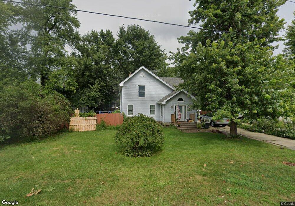
2S147 Harter Rd Elburn, IL 60119
Estimated Value: $287,844 - $351,000
--
Bed
--
Bath
1,769
Sq Ft
$176/Sq Ft
Est. Value
About This Home
This home is located at 2S147 Harter Rd, Elburn, IL 60119 and is currently estimated at $311,461, approximately $176 per square foot. 2S147 Harter Rd is a home with nearby schools including Kaneland Blackberry Creek Elementary School, Harter Middle School, and Kaneland Senior High School.
Ownership History
Date
Name
Owned For
Owner Type
Purchase Details
Closed on
Nov 29, 2018
Sold by
Harley Wendell C and Harley Kathy L
Bought by
Wendell C And Kathy L Harley Family Trus
Current Estimated Value
Purchase Details
Closed on
Jun 5, 2012
Sold by
Harley Wendell C
Bought by
Harley Wendell C and Harley Kathy L
Purchase Details
Closed on
Aug 7, 2003
Sold by
Harley Wendell C
Bought by
Harley Wendell C
Purchase Details
Closed on
Jan 22, 2003
Sold by
Harley Wendell C and Harley Marilyn J
Bought by
Harley Wendell C
Create a Home Valuation Report for This Property
The Home Valuation Report is an in-depth analysis detailing your home's value as well as a comparison with similar homes in the area
Home Values in the Area
Average Home Value in this Area
Purchase History
| Date | Buyer | Sale Price | Title Company |
|---|---|---|---|
| Wendell C And Kathy L Harley Family Trus | -- | Attorney | |
| Harley Wendell C | -- | None Available | |
| Harley Wendell C | -- | -- | |
| Harley Wendell C | -- | -- |
Source: Public Records
Tax History Compared to Growth
Tax History
| Year | Tax Paid | Tax Assessment Tax Assessment Total Assessment is a certain percentage of the fair market value that is determined by local assessors to be the total taxable value of land and additions on the property. | Land | Improvement |
|---|---|---|---|---|
| 2024 | $6,439 | $80,289 | $11,759 | $68,530 |
| 2023 | $6,429 | $74,799 | $10,955 | $63,844 |
| 2022 | $6,054 | $68,585 | $10,045 | $58,540 |
| 2021 | $5,882 | $65,726 | $9,626 | $56,100 |
| 2020 | $5,744 | $63,460 | $9,294 | $54,166 |
| 2019 | $5,639 | $60,926 | $8,923 | $52,003 |
| 2018 | $5,303 | $55,533 | $8,133 | $47,400 |
| 2017 | $4,967 | $50,803 | $7,440 | $43,363 |
| 2016 | $4,663 | $46,277 | $6,777 | $39,500 |
| 2015 | -- | $43,209 | $6,328 | $36,881 |
| 2014 | -- | $43,209 | $6,328 | $36,881 |
| 2013 | -- | $46,591 | $6,823 | $39,768 |
Source: Public Records
Map
Nearby Homes
- 2S114 Harter Rd
- 2S234 Harter Rd
- 44W301 Main St
- 0N119 Dauberman Rd
- 43W714 Willow Creek Ct Unit 4
- Willow Creek Lot 60 Willow Creek Dr
- Lot 37 Houtz Cir
- Lot 84 Houtz Cir
- 18-acres Rt 47 - Hughes Rd
- 000 Finley Rd
- 165 Schneider Rd
- 00 Rt 38 Rd
- 44W700 Rowe Rd
- LOT 7 Rowe Rd
- 43W690 Marian Cir
- 44W099 Finley Rd
- 48W201 Keslinger Rd
- 1S040 Donny Hill Rd Unit 3
- Lot #7 Derek Dr
- 12 Derek Dr
- 2S155 Harter Rd
- 46W637 Main Street Rd
- 2S175 Harter Rd
- 46W611 Main St
- 46W611 Main St
- 46W691 Main Street Rd
- 46W595 Main St
- 46W634 Main Street Rd
- 46W622 Main St
- 46W612 Main Street Rd
- 46W587 Lovell St
- 2S222 Harter Rd
- 46W726 Main St
- 46W565 Main Street Rd
- 46W726 Main Street Rd
- 46W747 W Main St
- 44W773 Harter Rd
- 44W865 Harter Rd
- 44W830 Harter Rd