2S250 Locust Ct Unit 4 Elburn, IL 60119
Estimated Value: $329,000 - $446,000
3
Beds
3
Baths
1,309
Sq Ft
$283/Sq Ft
Est. Value
About This Home
This home is located at 2S250 Locust Ct Unit 4, Elburn, IL 60119 and is currently estimated at $370,356, approximately $282 per square foot. 2S250 Locust Ct Unit 4 is a home located in Kane County with nearby schools including Kaneland Blackberry Creek Elementary School, Harter Middle School, and Kaneland High School.
Ownership History
Date
Name
Owned For
Owner Type
Purchase Details
Closed on
Dec 15, 1999
Sold by
Zimmer Karl G and Zimmer Karolyn
Bought by
Kovach David A and Kovach Catherine E
Current Estimated Value
Home Financials for this Owner
Home Financials are based on the most recent Mortgage that was taken out on this home.
Original Mortgage
$169,550
Outstanding Balance
$53,117
Interest Rate
7.87%
Estimated Equity
$317,239
Create a Home Valuation Report for This Property
The Home Valuation Report is an in-depth analysis detailing your home's value as well as a comparison with similar homes in the area
Home Values in the Area
Average Home Value in this Area
Purchase History
| Date | Buyer | Sale Price | Title Company |
|---|---|---|---|
| Kovach David A | $178,500 | Chicago Title Insurance Co |
Source: Public Records
Mortgage History
| Date | Status | Borrower | Loan Amount |
|---|---|---|---|
| Open | Kovach David A | $169,550 |
Source: Public Records
Tax History
| Year | Tax Paid | Tax Assessment Tax Assessment Total Assessment is a certain percentage of the fair market value that is determined by local assessors to be the total taxable value of land and additions on the property. | Land | Improvement |
|---|---|---|---|---|
| 2024 | $7,011 | $95,421 | $26,129 | $69,292 |
| 2023 | $6,953 | $88,896 | $24,342 | $64,554 |
| 2022 | $6,665 | $81,511 | $22,320 | $59,191 |
| 2021 | $6,454 | $78,114 | $21,390 | $56,724 |
| 2020 | $6,284 | $75,422 | $20,653 | $54,769 |
| 2019 | $6,146 | $72,410 | $19,828 | $52,582 |
| 2018 | $5,729 | $66,001 | $18,073 | $47,928 |
| 2017 | $5,317 | $60,380 | $16,534 | $43,846 |
| 2016 | $4,938 | $55,001 | $15,061 | $39,940 |
| 2015 | -- | $51,355 | $14,063 | $37,292 |
| 2014 | -- | $51,355 | $14,063 | $37,292 |
| 2013 | -- | $55,375 | $15,164 | $40,211 |
Source: Public Records
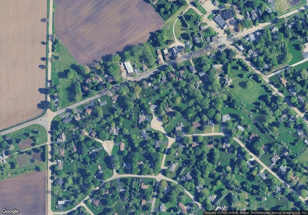
Map
Nearby Homes
- 46W524 Locust St
- 44W019 Main Street Rd
- 43W690 Marian Cir
- 44W099 Finley Rd
- 00 Rt 38 Rd
- 0S790 Rowe Rd
- Lot 9 Rowe Rd
- 49W615 Lasher Rd
- 2S227 Green Rd
- 48W201 Keslinger Rd
- 0N953 Probst Ct
- Lot #11 Derek Dr
- Lot #12 Derek Dr
- Lot #5 Derek Dr
- Lot #6 Derek Dr
- Lot #4 Derek Dr
- Lot #7 Derek Dr
- 16 Derek Dr
- 0S955 Thorndon Ridge Dr Unit 2
- 660 Avon Ct
- 2S255 Locust Ct Unit 4
- 46W821 Main Street Rd
- 2S260 Locust Ct
- 46W863 Main Street Rd
- 46W863 S Main St
- 46W797 Main Street Rd
- 46W756 Locust St
- 46W785 Main Street Rd
- 2S278 Locust Ct
- 46W826 Main Street Rd
- 46W765 Main Street Rd
- 46W885 Main St
- 2S308 Locust St Unit 6
- 46W734 Locust St
- 46W798 Main Street Rd
- 46W884 Main St
- 46W747 W Main St
- 46W786 Main Street Rd
- 46W767 Locust St
- 46W905 Main Street Rd Unit 1
Your Personal Tour Guide
Ask me questions while you tour the home.