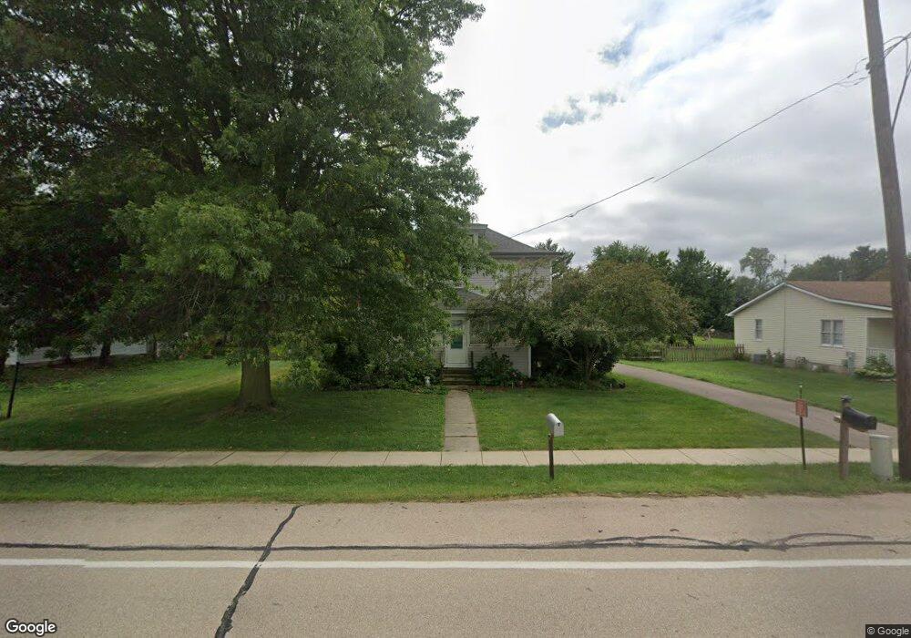
2S316 Harter Rd Elburn, IL 60119
Estimated Value: $279,509 - $327,000
2
Beds
2
Baths
1,265
Sq Ft
$243/Sq Ft
Est. Value
About This Home
This home is located at 2S316 Harter Rd, Elburn, IL 60119 and is currently estimated at $307,877, approximately $243 per square foot. 2S316 Harter Rd is a home located in Kane County with nearby schools including Kaneland Blackberry Creek Elementary School, Harter Middle School, and Kaneland High School.
Ownership History
Date
Name
Owned For
Owner Type
Purchase Details
Closed on
Jul 16, 2021
Sold by
The Estate Of Jeanette Bower
Bought by
Sanchez Jesse and Chase Sanchez Nicole
Current Estimated Value
Home Financials for this Owner
Home Financials are based on the most recent Mortgage that was taken out on this home.
Original Mortgage
$89,100
Outstanding Balance
$80,881
Interest Rate
2.93%
Mortgage Type
New Conventional
Estimated Equity
$226,996
Create a Home Valuation Report for This Property
The Home Valuation Report is an in-depth analysis detailing your home's value as well as a comparison with similar homes in the area
Home Values in the Area
Average Home Value in this Area
Purchase History
| Date | Buyer | Sale Price | Title Company |
|---|---|---|---|
| Sanchez Jesse | $119,000 | Fidelity National Title |
Source: Public Records
Mortgage History
| Date | Status | Borrower | Loan Amount |
|---|---|---|---|
| Open | Sanchez Jesse | $89,100 |
Source: Public Records
Tax History Compared to Growth
Tax History
| Year | Tax Paid | Tax Assessment Tax Assessment Total Assessment is a certain percentage of the fair market value that is determined by local assessors to be the total taxable value of land and additions on the property. | Land | Improvement |
|---|---|---|---|---|
| 2024 | $6,507 | $89,137 | $23,516 | $65,621 |
| 2023 | $6,450 | $83,042 | $21,908 | $61,134 |
| 2022 | $6,191 | $76,143 | $20,088 | $56,055 |
| 2021 | $3,309 | $72,969 | $19,251 | $53,718 |
| 2020 | $3,346 | $70,453 | $18,587 | $51,866 |
| 2019 | $3,422 | $67,640 | $17,845 | $49,795 |
| 2018 | $4,837 | $61,654 | $16,266 | $45,388 |
| 2017 | $3,615 | $56,403 | $14,881 | $41,522 |
| 2016 | $4,069 | $51,378 | $13,555 | $37,823 |
| 2015 | -- | $47,972 | $12,656 | $35,316 |
| 2014 | -- | $47,972 | $12,656 | $35,316 |
| 2013 | -- | $51,728 | $13,647 | $38,081 |
Source: Public Records
Map
Nearby Homes
- 0N119 Dauberman Rd
- 000 Finley Rd
- 3S520 Marian Ln
- 43W690 Marian Cir
- 44W099 Finley Rd
- 165 Schneider Rd
- 2S227 Green Rd
- LOT 7 Rowe Rd
- 44W700 Rowe Rd
- Lot 9 Rowe Rd
- 00 Rt 38 Rd
- 43W493 Thornapple Tree Rd
- Lot #7 Derek Dr
- 48W201 Keslinger Rd
- 16 Derek Dr
- 12 Derek Dr
- 6 Derek Dr
- 5 Derek Dr
- 4 Derek Dr
- 11 Derek Dr
- 2S324 Harter Rd
- 2S286 Harter Rd
- 2S330 Harter Rd
- 2S273 Harter Rd
- 2S272 Harter Rd
- 2S342 Harter Rd
- 2S265 Harter Rd
- 2S327 Merrill Ave
- 2S295 Merrill Ave
- 2S256 Harter Rd
- 46W584 Locust St Unit 4
- 46W566 Locust St
- 2S327 Merril Rd
- 2S251 Harter Rd
- 2S339 Harter Rd
- 46W552 Locust St Unit 4
- 2S356 Harter Rd
- 46W600 Locust St
- 46W540 Locust St