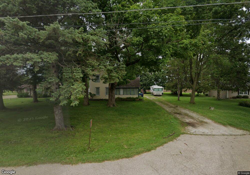
2S339 Harter Rd Elburn, IL 60119
Estimated Value: $281,000 - $348,000
--
Bed
--
Bath
1,410
Sq Ft
$217/Sq Ft
Est. Value
About This Home
This home is located at 2S339 Harter Rd, Elburn, IL 60119 and is currently estimated at $306,477, approximately $217 per square foot. 2S339 Harter Rd is a home located in Kane County with nearby schools including Kaneland Blackberry Creek Elementary School, Harter Middle School, and Kaneland Senior High School.
Ownership History
Date
Name
Owned For
Owner Type
Purchase Details
Closed on
Jan 2, 2008
Sold by
Swift Frederick G
Bought by
Gibson Darryl M
Current Estimated Value
Home Financials for this Owner
Home Financials are based on the most recent Mortgage that was taken out on this home.
Original Mortgage
$164,430
Outstanding Balance
$104,385
Interest Rate
6.27%
Mortgage Type
FHA
Estimated Equity
$202,092
Create a Home Valuation Report for This Property
The Home Valuation Report is an in-depth analysis detailing your home's value as well as a comparison with similar homes in the area
Home Values in the Area
Average Home Value in this Area
Purchase History
| Date | Buyer | Sale Price | Title Company |
|---|---|---|---|
| Gibson Darryl M | $180,000 | Chicago Title Insurance Co |
Source: Public Records
Mortgage History
| Date | Status | Borrower | Loan Amount |
|---|---|---|---|
| Open | Gibson Darryl M | $164,430 |
Source: Public Records
Tax History Compared to Growth
Tax History
| Year | Tax Paid | Tax Assessment Tax Assessment Total Assessment is a certain percentage of the fair market value that is determined by local assessors to be the total taxable value of land and additions on the property. | Land | Improvement |
|---|---|---|---|---|
| 2024 | $5,163 | $72,371 | $23,516 | $48,855 |
| 2023 | $5,107 | $67,422 | $21,908 | $45,514 |
| 2022 | $4,927 | $61,821 | $20,088 | $41,733 |
| 2021 | $4,765 | $59,244 | $19,251 | $39,993 |
| 2020 | $4,634 | $57,201 | $18,587 | $38,614 |
| 2019 | $4,527 | $54,917 | $17,845 | $37,072 |
| 2018 | $4,207 | $50,057 | $16,266 | $33,791 |
| 2017 | $3,891 | $45,794 | $14,881 | $30,913 |
| 2016 | $3,599 | $41,714 | $13,555 | $28,159 |
| 2015 | -- | $38,948 | $12,656 | $26,292 |
| 2014 | -- | $38,948 | $12,656 | $26,292 |
| 2013 | -- | $41,997 | $13,647 | $28,350 |
Source: Public Records
Map
Nearby Homes
- 2S234 Harter Rd
- 2S114 Harter Rd
- 44W301 Main St
- 0N119 Dauberman Rd
- Willow Creek Lot 60 Willow Creek Dr
- 43W714 Willow Creek Ct Unit 4
- 000 Finley Rd
- 43W690 Marian Cir
- 44W099 Finley Rd
- Lot 37 Houtz Cir
- Lot 84 Houtz Cir
- 18-acres Rt 47 - Hughes Rd
- 165 Schneider Rd
- 44W700 Rowe Rd
- LOT 7 Rowe Rd
- 00 Rt 38 Rd
- Lot #7 Derek Dr
- 12 Derek Dr
- 16 Derek Dr
- 5 Derek Dr
- 2S295 Merrill Ave
- 2S327 Merrill Ave
- 2S327 Merril Rd
- 2S347 Harter Rd
- 2S356 Harter Rd
- 2S342 Harter Rd
- 2S371 Harter Rd
- 2S330 Harter Rd
- 2S382 Harter Rd
- 2S324 Harter Rd
- 2S389 Harter Rd
- 2S392 Harter Rd
- 2S316 Harter Rd
- 2S273 Harter Rd
- 2S404 Harter Rd
- 2S286 Harter Rd
- 46W524 Locust St
- 46W540 Locust St
- 46W512 Locust St
- 46W552 Locust St Unit 4