2S477 Locust St Elburn, IL 60119
Estimated Value: $460,000 - $512,000
5
Beds
4
Baths
2,661
Sq Ft
$181/Sq Ft
Est. Value
About This Home
This home is located at 2S477 Locust St, Elburn, IL 60119 and is currently estimated at $481,999, approximately $181 per square foot. 2S477 Locust St is a home located in Kane County with nearby schools including Kaneland Blackberry Creek Elementary School, Harter Middle School, and Kaneland High School.
Ownership History
Date
Name
Owned For
Owner Type
Purchase Details
Closed on
Mar 14, 2025
Sold by
Geuther Matthew and Geuther Marie
Bought by
Matthew H Geuther & Marie E Geuther Revocable and Geuther
Current Estimated Value
Purchase Details
Closed on
May 25, 2017
Sold by
Geuther Matthew H
Bought by
Geuther Matheew H
Purchase Details
Closed on
Aug 19, 2011
Sold by
Allison Dan M and Allison Monica L
Bought by
The Helen B Yoho Living Trust
Create a Home Valuation Report for This Property
The Home Valuation Report is an in-depth analysis detailing your home's value as well as a comparison with similar homes in the area
Home Values in the Area
Average Home Value in this Area
Purchase History
| Date | Buyer | Sale Price | Title Company |
|---|---|---|---|
| Matthew H Geuther & Marie E Geuther Revocable | -- | None Listed On Document | |
| Geuther Matheew H | -- | None Available | |
| The Helen B Yoho Living Trust | $254,000 | Baird & Warner Title Service |
Source: Public Records
Tax History Compared to Growth
Tax History
| Year | Tax Paid | Tax Assessment Tax Assessment Total Assessment is a certain percentage of the fair market value that is determined by local assessors to be the total taxable value of land and additions on the property. | Land | Improvement |
|---|---|---|---|---|
| 2024 | $8,748 | $125,079 | $26,129 | $98,950 |
| 2023 | $9,327 | $116,526 | $24,342 | $92,184 |
| 2022 | $8,902 | $106,846 | $22,320 | $84,526 |
| 2021 | $8,627 | $102,392 | $21,390 | $81,002 |
| 2020 | $8,405 | $98,863 | $20,653 | $78,210 |
| 2019 | $8,229 | $94,914 | $19,828 | $75,086 |
| 2018 | $7,688 | $86,513 | $18,073 | $68,440 |
| 2017 | $7,152 | $79,145 | $16,534 | $62,611 |
| 2016 | $6,660 | $72,094 | $15,061 | $57,033 |
| 2015 | -- | $67,315 | $14,063 | $53,252 |
| 2014 | -- | $67,315 | $14,063 | $53,252 |
| 2013 | -- | $72,585 | $15,164 | $57,421 |
Source: Public Records
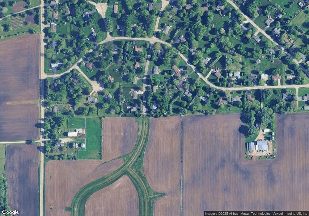
Map
Nearby Homes
- 0N119 Dauberman Rd
- 000 Finley Rd
- 3S520 Marian Ln
- 44W099 Finley Rd
- 43W690 Marian Cir
- 165 Schneider Rd
- 2S227 Green Rd
- 43W493 Thornapple Tree Rd
- LOT 7 Rowe Rd
- 44W700 Rowe Rd
- Lot 9 Rowe Rd
- 00 Rt 38 Rd
- 48W201 Keslinger Rd
- Lot #7 Derek Dr
- 16 Derek Dr
- 12 Derek Dr
- 6 Derek Dr
- 5 Derek Dr
- 4 Derek Dr
- 11 Derek Dr
- 2S447 Locust St
- 2S460 Locust St
- 2S488 Locust St Unit 7
- 46W715 Elm St Unit 7
- 46W731 Elm St
- 2S419 Locust St
- 2S438 Locust St
- 46W751 Elm St
- 46W703 Elm St Unit 7
- 2S461 Cedar Ct
- 2S410 Locust St
- 46W769 Elm St
- 2S441 Cedar Ct
- 46W843 Elm St
- 46W681 Elm St
- 46W720 Elm St
- 2S456 Cedar Ct
- 46W740 Elm St
- 46W867 Elm St
- 46W682 Elm St