2S647 Gloucester Way W Oak Brook, IL 60523
Estimated Value: $339,221 - $475,000
--
Bed
--
Bath
1,188
Sq Ft
$360/Sq Ft
Est. Value
About This Home
This home is located at 2S647 Gloucester Way W, Oak Brook, IL 60523 and is currently estimated at $428,055, approximately $360 per square foot. 2S647 Gloucester Way W is a home located in DuPage County with nearby schools including Belle Aire Elementary School, Herrick Middle School, and Downer Grove North High School.
Ownership History
Date
Name
Owned For
Owner Type
Purchase Details
Closed on
Apr 19, 2023
Sold by
Trust Number 1087873
Bought by
Donna L Hesik Declaration Of Trust and Hesik
Current Estimated Value
Create a Home Valuation Report for This Property
The Home Valuation Report is an in-depth analysis detailing your home's value as well as a comparison with similar homes in the area
Home Values in the Area
Average Home Value in this Area
Purchase History
| Date | Buyer | Sale Price | Title Company |
|---|---|---|---|
| Donna L Hesik Declaration Of Trust | -- | Chicago Title |
Source: Public Records
Tax History Compared to Growth
Tax History
| Year | Tax Paid | Tax Assessment Tax Assessment Total Assessment is a certain percentage of the fair market value that is determined by local assessors to be the total taxable value of land and additions on the property. | Land | Improvement |
|---|---|---|---|---|
| 2024 | $5,843 | $115,958 | $11,603 | $104,355 |
| 2023 | $5,529 | $107,230 | $10,730 | $96,500 |
| 2022 | $5,916 | $110,590 | $11,070 | $99,520 |
| 2021 | $5,436 | $107,830 | $10,790 | $97,040 |
| 2020 | $5,299 | $105,460 | $10,550 | $94,910 |
| 2019 | $5,445 | $106,670 | $10,670 | $96,000 |
| 2018 | $4,727 | $91,880 | $9,190 | $82,690 |
| 2017 | $4,647 | $87,560 | $8,760 | $78,800 |
| 2016 | $4,533 | $82,480 | $8,250 | $74,230 |
| 2015 | $4,421 | $76,840 | $7,690 | $69,150 |
| 2014 | $4,405 | $74,160 | $7,420 | $66,740 |
| 2013 | $4,364 | $75,200 | $7,520 | $67,680 |
Source: Public Records
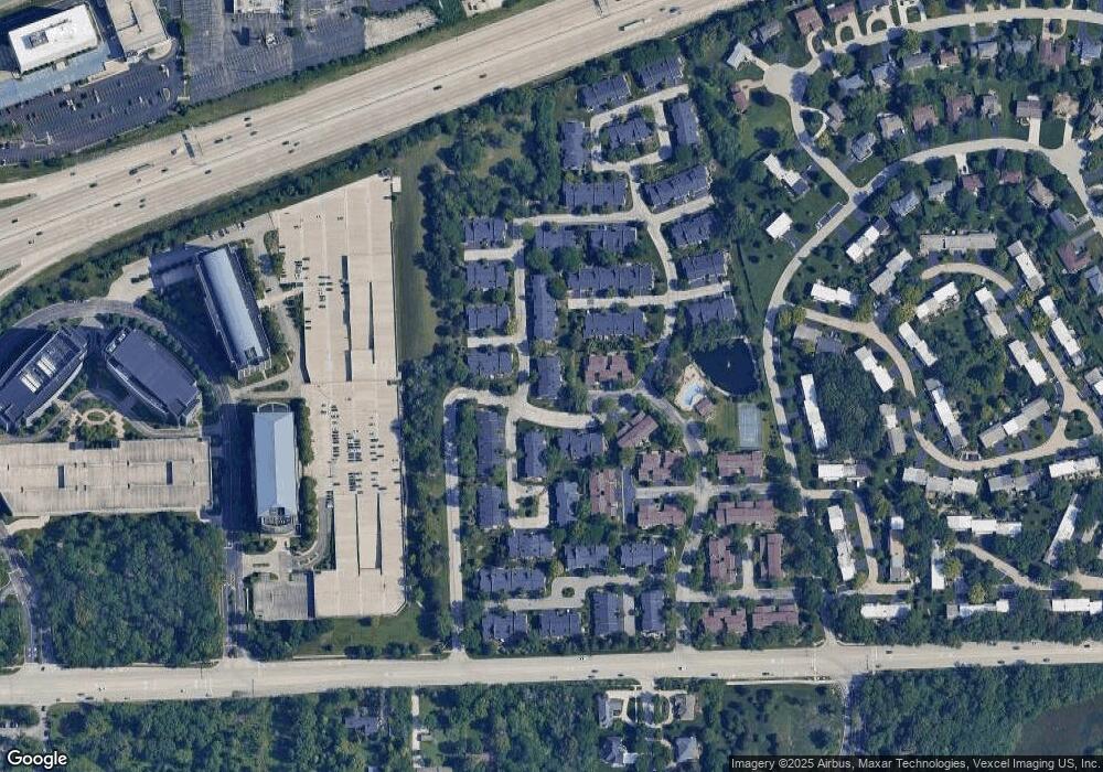
Map
Nearby Homes
- 19W286 Governors Trail Unit 13
- 19W147 Avenue Rue Royal
- 2S761 Theresa Ct Unit 761
- 19W078 Avenue Normandy N Unit 6
- 19W074 Avenue Barbizon Unit 3
- 2S658 Avenue Vendome
- 19W019 Avenue Barbizon Unit 2
- 3010 Meyers Rd
- MONROE Plan at The Summit at Yorktown
- GRANT Plan at The Summit at Yorktown
- 317 Summit Cir
- 1014 Braemoor Dr Unit B
- 384 Summit Cir
- 389 Summit Cir
- 382 Summit Cir
- 387 Summit Cir
- 380 Summit Cir
- 385 Summit Cir
- 378 Summit Cir
- 383 Summit Cir
- 2S726 Williamsburg Ct
- 2S707 Williamsburg Ct Unit 48
- 2S707 Williamsburg Ct Unit 707
- 19W245 Ginger Brook Dr N
- 19W229 Patrick Henry Square Unit 124
- 19W221 Patrick Henry Square
- 2S679 Gloucester Way W
- 19W218 Prince George Ln
- 19W225 Patrick Henry Square Unit 125
- 19W225 Patrick Henry Square Unit 225
- 2S688 Williamsburg Ct Unit 44
- 2S688 Williamsburg Ct Unit 688
- 2S715 Williamsburg Ct Unit 46
- 25575 Patrick Henry Square
- 19W206 Newport Ln Unit 104
- 19W206 Newport Ln Unit 206
- 19W242 Old Tavern Rd W Unit 81
- 19W242 Old Tavern Rd W Unit 96
- 19W279 Governors Trail Unit 54
- 2S730 Williamsburg Ct Unit 37