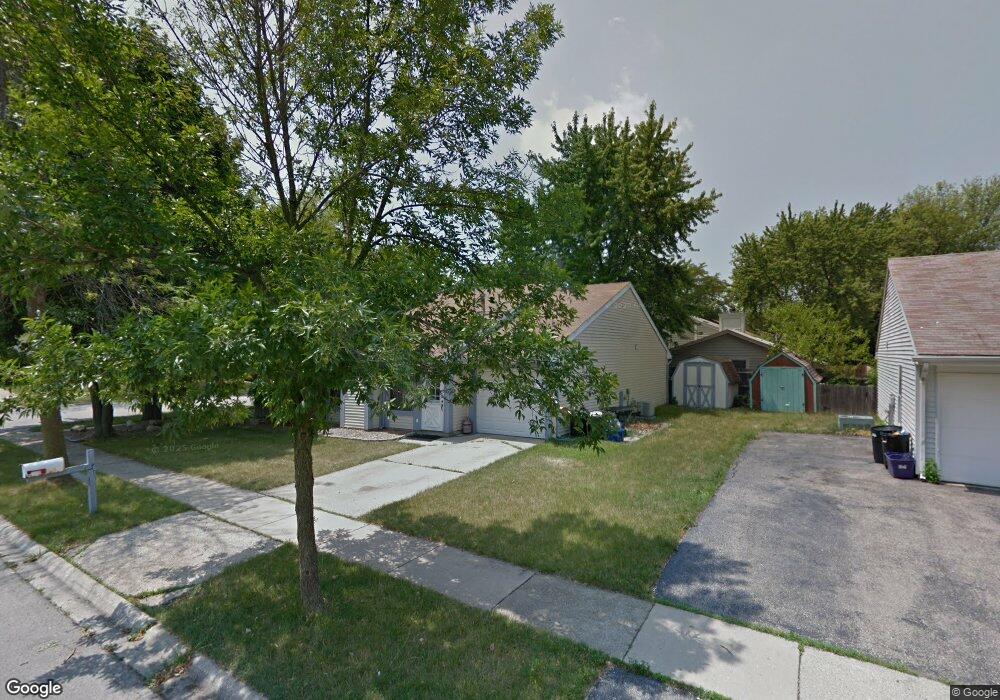
2S676 Hampton Dr Warrenville, IL 60555
Estimated Value: $270,778 - $310,000
Studio
--
Bath
978
Sq Ft
$297/Sq Ft
Est. Value
About This Home
This home is located at 2S676 Hampton Dr, Warrenville, IL 60555 and is currently estimated at $290,445, approximately $296 per square foot. 2S676 Hampton Dr is a home located in DuPage County with nearby schools including Clifford Johnson School, Hubble Middle School, and Wheaton Warrenville South High School.
Ownership History
Date
Name
Owned For
Owner Type
Purchase Details
Closed on
Oct 30, 1998
Sold by
Wilk Brian J and Wilk Francine M
Bought by
Bisceglie Karen A
Current Estimated Value
Home Financials for this Owner
Home Financials are based on the most recent Mortgage that was taken out on this home.
Original Mortgage
$86,800
Outstanding Balance
$24,927
Interest Rate
10.12%
Mortgage Type
Purchase Money Mortgage
Estimated Equity
$265,518
Create a Home Valuation Report for This Property
The Home Valuation Report is an in-depth analysis detailing your home's value as well as a comparison with similar homes in the area
Home Values in the Area
Average Home Value in this Area
Purchase History
| Date | Buyer | Sale Price | Title Company |
|---|---|---|---|
| Bisceglie Karen A | $108,500 | -- |
Source: Public Records
Mortgage History
| Date | Status | Borrower | Loan Amount |
|---|---|---|---|
| Open | Bisceglie Karen A | $86,800 |
Source: Public Records
Tax History
| Year | Tax Paid | Tax Assessment Tax Assessment Total Assessment is a certain percentage of the fair market value that is determined by local assessors to be the total taxable value of land and additions on the property. | Land | Improvement |
|---|---|---|---|---|
| 2024 | $5,253 | $79,741 | $31,708 | $48,033 |
| 2023 | $4,952 | $72,830 | $28,960 | $43,870 |
| 2022 | $4,779 | $68,060 | $27,060 | $41,000 |
| 2021 | $4,529 | $65,240 | $25,940 | $39,300 |
| 2020 | $4,408 | $63,260 | $25,150 | $38,110 |
| 2019 | $4,199 | $60,240 | $23,950 | $36,290 |
| 2018 | $3,897 | $56,300 | $22,390 | $33,910 |
| 2017 | $3,781 | $53,490 | $21,270 | $32,220 |
| 2016 | $3,621 | $49,870 | $19,830 | $30,040 |
| 2015 | $3,471 | $46,170 | $18,360 | $27,810 |
| 2014 | $3,422 | $44,840 | $17,830 | $27,010 |
| 2013 | $3,451 | $46,480 | $18,480 | $28,000 |
Source: Public Records
Map
Nearby Homes
- 30W021 Danbury Dr Unit 2A
- 2S616 Linden Square
- 3S110 Timber Dr Unit 4B
- 30W170 Cynthia Ct
- 29W532 Winchester Cir S Unit 4
- 2S739 Winchester Cir E Unit 4
- Lot 1 Elizabeth St
- 2S590 Seraph Holmes Ct
- 2S739 Grove Ln
- 3S284 Pattermann Rd
- 29W358 Crabtree Ln
- 30W158 Wheeler Cir
- 30W024 Brayman Ct
- 3S528 Cambridge Ct
- 30W085 Brayman Ct
- 30W011 Kensington Dr Unit 1
- 3S602 Everton Dr
- 3S616 Everton Dr
- 30W165 Estes St
- 29W509 Point Oak Dr
- 2S670 Hampton Dr
- 30W002 Wembly Dr
- 30W005 Oakwood Ct
- 2S656 Hampton Dr Unit 2A
- 30W010 Wembly Dr
- 2S665 Hampton Dr
- 30W003 Oakwood Ct
- 29W771 Wembly Dr
- 29W767 Wembly Dr
- 29W759 Wembly Dr
- 30W018 Wembly Dr
- 29W750 Wembly Dr
- 30W001 Wembly Dr
- 30W011 Oakwood Ct
- 29W740 Wembly Dr
- 2S661 Hampton Dr
- 2S650 Hampton Dr
- 30W011 Wembly Dr Unit 2B
- 29W751 Wembly Dr
- 29W741 Wembly Dr Unit 2B
Your Personal Tour Guide
Ask me questions while you tour the home.