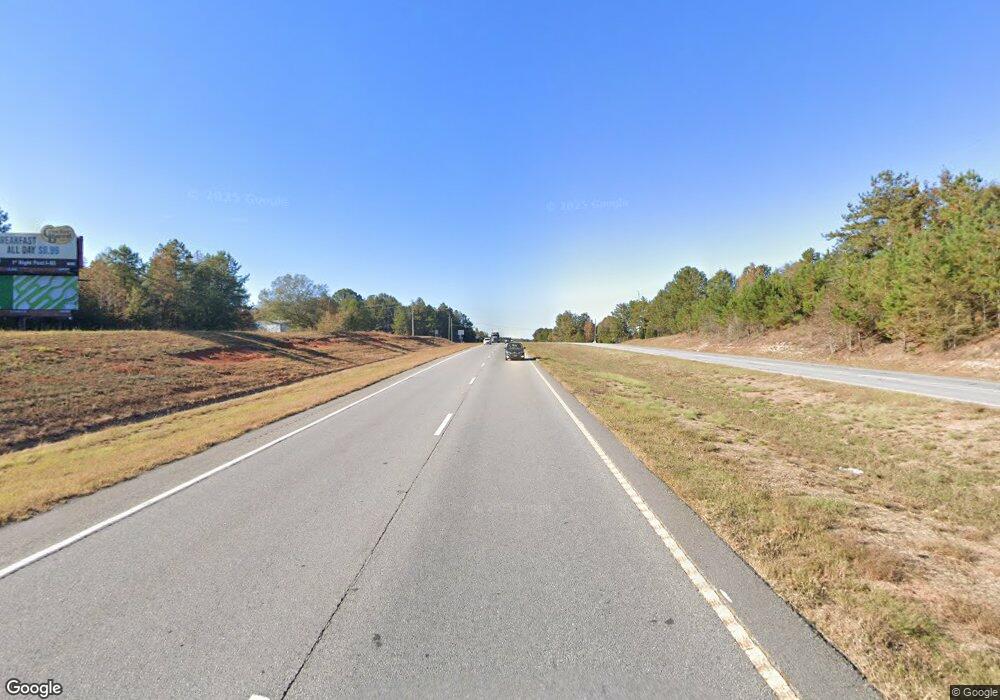
3.089 ACRES Us Highway 441 Commerce, GA 30529
Commerce Township Downtown Neighborhood
--
Bed
--
Bath
--
Sq Ft
3.09
Acres
About This Home
This home is located at 3.089 ACRES Us Highway 441, Commerce, GA 30529. 3.089 ACRES Us Highway 441 is a home located in Jackson County with nearby schools including Maysville Elementary School, East Jackson Middle School, and East Jackson Comprehensive High School.
Ownership History
Date
Name
Owned For
Owner Type
Purchase Details
Closed on
Jun 24, 2024
Sold by
Home Bridge Real Estate Llc
Bought by
Konda Venkatesh
Purchase Details
Closed on
Mar 7, 2022
Sold by
Tseng George Y
Bought by
Home Bridge Real Estate Llc
Purchase Details
Closed on
May 31, 2016
Sold by
Tseng George Y
Bought by
Strickland Samuel D
Home Financials for this Owner
Home Financials are based on the most recent Mortgage that was taken out on this home.
Original Mortgage
$272,500
Interest Rate
3.61%
Mortgage Type
Commercial
Purchase Details
Closed on
Aug 7, 2001
Sold by
Strickland Samuel Da
Bought by
Tseng George Y
Purchase Details
Closed on
Mar 7, 1996
Bought by
Strickland Samuel Da
Create a Home Valuation Report for This Property
The Home Valuation Report is an in-depth analysis detailing your home's value as well as a comparison with similar homes in the area
Home Values in the Area
Average Home Value in this Area
Purchase History
| Date | Buyer | Sale Price | Title Company |
|---|---|---|---|
| Konda Venkatesh | $215,000 | -- | |
| Home Bridge Real Estate Llc | $42,300 | -- | |
| Strickland Samuel D | -- | -- | |
| Tseng George Y | -- | -- | |
| Strickland Samuel Da | -- | -- |
Source: Public Records
Mortgage History
| Date | Status | Borrower | Loan Amount |
|---|---|---|---|
| Previous Owner | Strickland Samuel D | $272,500 |
Source: Public Records
Tax History Compared to Growth
Tax History
| Year | Tax Paid | Tax Assessment Tax Assessment Total Assessment is a certain percentage of the fair market value that is determined by local assessors to be the total taxable value of land and additions on the property. | Land | Improvement |
|---|---|---|---|---|
| 2024 | $1,525 | $55,240 | $55,240 | $0 |
| 2023 | $1,525 | $55,240 | $55,240 | $0 |
| 2022 | $1,279 | $39,440 | $39,440 | $0 |
| 2021 | $1,277 | $39,440 | $39,440 | $0 |
| 2020 | $1,248 | $39,440 | $39,440 | $0 |
| 2019 | $1,267 | $39,440 | $39,440 | $0 |
| 2018 | $1,285 | $39,440 | $39,440 | $0 |
| 2017 | $1,297 | $39,477 | $39,477 | $0 |
| 2016 | $1,304 | $39,477 | $39,477 | $0 |
| 2015 | $2,056 | $61,974 | $61,974 | $0 |
| 2014 | $1,927 | $57,636 | $57,636 | $0 |
| 2013 | -- | $57,636 | $57,636 | $0 |
Source: Public Records
Map
Nearby Homes
- 0 Beck Rd
- 396 Old Harden Orchard Rd
- 132 Millstone Dr
- 606 Beck Rd
- 162 Buckeye Trails Dr
- 224 Welsh Cir
- 2309 Remington Dr
- 132 Buckeye Point
- 150 Buckeye Trails Dr
- 2234 Remington Dr
- 1073 We King Rd
- 1174 Hospital Rd
- 840 Haggard Rd
- 140 Buckeye Trails Dr
- 330 Stella St Lot 03
- 80 Sherwood Dr Unit LOT 06
- 225 Dr
- 196 Sage St Homesite 30
- 47
- 103 Sherwood Dr Lot 16 Dr
- 2305 Homer Rd
- 2075 Homer Rd
- 2065 Homer Rd
- 121 Georgia 59
- 123 Highway 59
- 100 Highway 59
- 01 S Us Hwy 59
- 2151 Homer Rd
- 121 Highway 59
- 5780 Mount Olive Rd
- 0 Georgia 59 Unit 8377180
- 0 Georgia 59 Unit 8662021
- 0 Georgia 59 Unit 7159336
- 0 Georgia 59 Unit 3223492
- 0 Georgia 59 Unit 3223473
- 0 Georgia 59 Unit 30.45AC 7525453
- 0 Georgia 59 Unit 7141443
- 0 Georgia 59 Unit 8183179
- 0 Georgia 59 Unit 8310957
- 0 Georgia 59 Unit 8838826
