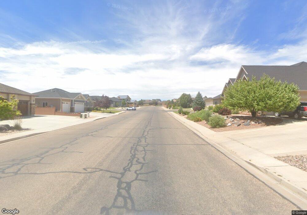
3.54 Acres Corner of Provide and Talon Cedar City, UT 84720
--
Bed
--
Bath
--
Sq Ft
3.54
Acres
About This Home
This home is located at 3.54 Acres Corner of Provide and Talon, Cedar City, UT 84720. 3.54 Acres Corner of Provide and Talon is a home located in Iron County with nearby schools including Iron Springs School, Cedar Middle School, and Cedar City High School.
Ownership History
Date
Name
Owned For
Owner Type
Purchase Details
Closed on
May 16, 2024
Sold by
Mounties Investments Llc
Bought by
Waymon E Beggs Trust and Beggs
Purchase Details
Closed on
Mar 10, 2021
Sold by
Cedar Bus Park At South Mountain Llc
Bought by
Mounties Investments Llc
Purchase Details
Closed on
Mar 9, 2021
Sold by
Cedar Bus Park At South Mountain Llc
Bought by
Mounties Investments Llc
Purchase Details
Closed on
Jan 30, 2008
Sold by
Three Eagle Llc
Bought by
Cedar Business Park At S Mountain Llc
Create a Home Valuation Report for This Property
The Home Valuation Report is an in-depth analysis detailing your home's value as well as a comparison with similar homes in the area
Home Values in the Area
Average Home Value in this Area
Purchase History
| Date | Buyer | Sale Price | Title Company |
|---|---|---|---|
| Waymon E Beggs Trust | -- | None Listed On Document | |
| Mounties Investments Llc | -- | American First Escrow & Ttl | |
| Mounties Investments Llc | -- | American First Escrow & Ttl | |
| Mounties Investments Llc | -- | American First Escrow & Ttl | |
| Cedar Business Park At S Mountain Llc | -- | -- |
Source: Public Records
Tax History Compared to Growth
Tax History
| Year | Tax Paid | Tax Assessment Tax Assessment Total Assessment is a certain percentage of the fair market value that is determined by local assessors to be the total taxable value of land and additions on the property. | Land | Improvement |
|---|---|---|---|---|
| 2025 | $3,598 | $462,607 | $462,607 | -- |
| 2023 | $3,238 | $277,560 | $277,560 | $0 |
| 2022 | $2,552 | $277,560 | $277,560 | $0 |
| 2021 | $2,126 | $231,300 | $231,300 | $0 |
| 2020 | $2,398 | $231,300 | $231,300 | $0 |
| 2019 | $2,507 | $231,300 | $231,300 | $0 |
| 2018 | $2,592 | $231,300 | $231,300 | $0 |
| 2017 | $2,632 | $231,300 | $231,300 | $0 |
| 2016 | $2,827 | $231,300 | $231,300 | $0 |
| 2015 | $2,981 | $231,300 | $0 | $0 |
| 2014 | $1,659 | $120,360 | $0 | $0 |
Source: Public Records
Map
Nearby Homes
- Parcel 5 Cedar Trails Rdo S Unit Old Hwy 91
- 2753 W Eagle Ridge Loop
- Pod 15 Cedar Trails Rdo S Unit Old Hwy 91
- 2085 S Eagle Dr
- 2085 S Eagle Ridge Loop
- 2897 W Hawk Dr
- 2879 W Eagle Dr
- 2548 W Black Sage Dr Unit 115
- 2548 W Black Sage Dr
- 2207 S 2925 W Unit Talon Pointe subd.
- 2549 W Black Sage Dr
- 2904 W Hawk Dr
- 2268 S 2925 W Unit 10
- 2231 S 2925 W
- 2268 S 2925 W
- Pod 14 Cedar Trails Rdo Unit Old Hwy 91
- 2077 S Talon Cir Unit 77
- 2077 S Talon Cir
- 2539 W Black Sage Dr
- 2226 S 2925 W
- 3.54 ac Corner of Providence and Talon
- 2203 S Taba Dr
- 2219 S Taba Dr
- 2195 S Taba Dr Unit 1
- 2231 S Taba Dr
- 2185 S Taba Dr
- 2793 W Taba Dr
- 2793 W Taba Dr Unit 1
- 2793 W Taba Dr Unit I
- 2793 W Taba Dr Unit Lot 1 Ph 1
- 2793 W Taba Drive--Lot 1
- 2206 S Taba Dr
- 2222 S Taba Dr
- 2803 W Taba Dr
- 2803 W Taba Dr Unit 1
- 2233 S Talon Dr
- 29.7 Acres at Mountain S
- 2803 W Taba Drive -- Lot 2
- 2244 S Talon Dr
- 2244 S Talon Dr Unit 1