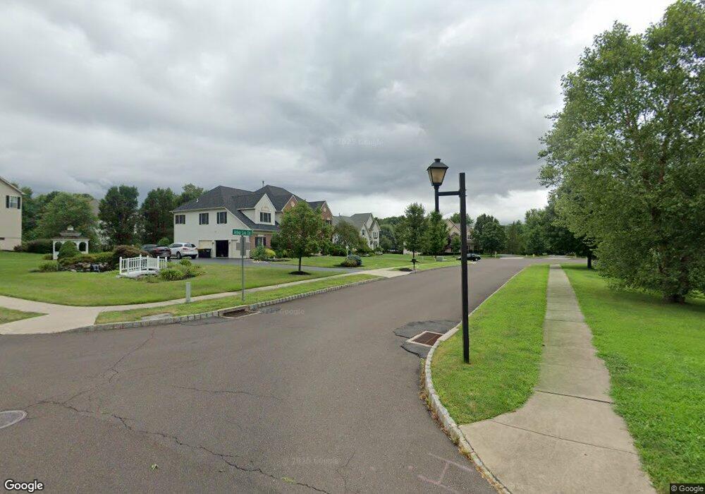
3 Arbor Lea Cir Doylestown, PA 18901
Estimated Value: $1,058,827 - $1,224,000
4
Beds
3
Baths
4,248
Sq Ft
$267/Sq Ft
Est. Value
About This Home
This home is located at 3 Arbor Lea Cir, Doylestown, PA 18901 and is currently estimated at $1,136,207, approximately $267 per square foot. 3 Arbor Lea Cir is a home located in Bucks County with nearby schools including Kutz Elementary School, Lenape Middle School, and Central Bucks High School-West.
Ownership History
Date
Name
Owned For
Owner Type
Purchase Details
Closed on
Apr 19, 2012
Sold by
Schechter David M and Schechter Beth S
Bought by
The David & Beth Schechter Living Trust
Current Estimated Value
Purchase Details
Closed on
Apr 16, 1999
Sold by
The Cutler Group Inc
Bought by
Schechter David M and Schechter Beth S
Home Financials for this Owner
Home Financials are based on the most recent Mortgage that was taken out on this home.
Original Mortgage
$278,000
Outstanding Balance
$70,277
Interest Rate
7.02%
Estimated Equity
$1,065,930
Create a Home Valuation Report for This Property
The Home Valuation Report is an in-depth analysis detailing your home's value as well as a comparison with similar homes in the area
Home Values in the Area
Average Home Value in this Area
Purchase History
| Date | Buyer | Sale Price | Title Company |
|---|---|---|---|
| The David & Beth Schechter Living Trust | -- | None Available | |
| Schechter David M | $358,910 | Fidelity National Title Ins |
Source: Public Records
Mortgage History
| Date | Status | Borrower | Loan Amount |
|---|---|---|---|
| Open | Schechter David M | $278,000 |
Source: Public Records
Tax History Compared to Growth
Tax History
| Year | Tax Paid | Tax Assessment Tax Assessment Total Assessment is a certain percentage of the fair market value that is determined by local assessors to be the total taxable value of land and additions on the property. | Land | Improvement |
|---|---|---|---|---|
| 2025 | $12,331 | $69,680 | $7,040 | $62,640 |
| 2024 | $12,331 | $69,680 | $7,040 | $62,640 |
| 2023 | $11,758 | $69,680 | $7,040 | $62,640 |
| 2022 | $11,627 | $69,680 | $7,040 | $62,640 |
| 2021 | $11,387 | $69,680 | $7,040 | $62,640 |
| 2020 | $11,335 | $69,680 | $7,040 | $62,640 |
| 2019 | $11,213 | $69,680 | $7,040 | $62,640 |
| 2018 | $11,178 | $69,680 | $7,040 | $62,640 |
| 2017 | $11,091 | $69,680 | $7,040 | $62,640 |
| 2016 | $11,022 | $69,680 | $7,040 | $62,640 |
| 2015 | -- | $69,680 | $7,040 | $62,640 |
| 2014 | -- | $69,680 | $7,040 | $62,640 |
Source: Public Records
Map
Nearby Homes
- 137 Wells Rd
- 222 Windsor Way
- 82 Avalon Ct Unit 2005
- 1101 Deerfield Ln
- 60 Quarry Rd
- 20 Woodstone Dr
- 125 Edison Furlong Rd
- 9 Mill Creek Dr
- 114 Progress Dr
- 78 Tower Hill Rd
- 422 Fordhook Rd
- 450 Ford Hook Rd
- 259 W Ashland St
- 250 Wooded Dr
- 432 Ford Hook Rd
- 47 Mill Creek Dr Unit 32
- 47 Mill Creek Dr
- 137 Pebble Woods Dri Pebble Woods Dr
- 612 Bethel Ln Unit THE ROOSEVELT PLAN
- 84 Iron Hill Rd
- 5 Arbor Lea Cir
- 76 Bittersweet Dr
- 6 Arbor Lea Cir
- 78 Bittersweet Dr
- 72 Bittersweet Dr
- 80 Bittersweet Dr
- 267 Windsor Way
- 1 Sunrise Dr
- 82 Bittersweet Dr
- 70 Bittersweet Dr
- 79 Bittersweet Dr
- 2 Sunrise Dr
- 3 Sunrise Dr
- 71 Bittersweet Dr
- 265 Windsor Way
- 4 Sunrise Dr
- 68 Bittersweet Dr
- 81 Bittersweet Dr
- 84 Bittersweet Dr
- 69 Bittersweet Dr