3 Ava St Vinalhaven, ME 04863
Estimated Value: $177,129 - $346,000
3
Beds
1
Bath
1,321
Sq Ft
$197/Sq Ft
Est. Value
About This Home
This home is located at 3 Ava St, Vinalhaven, ME 04863 and is currently estimated at $260,032, approximately $196 per square foot. 3 Ava St is a home located in Knox County with nearby schools including Vinalhaven School.
Ownership History
Date
Name
Owned For
Owner Type
Purchase Details
Closed on
Jul 28, 2022
Sold by
Ames Darren T
Bought by
Boogaard Mark
Current Estimated Value
Home Financials for this Owner
Home Financials are based on the most recent Mortgage that was taken out on this home.
Original Mortgage
$125,799
Outstanding Balance
$120,211
Interest Rate
5.78%
Mortgage Type
Purchase Money Mortgage
Estimated Equity
$139,821
Create a Home Valuation Report for This Property
The Home Valuation Report is an in-depth analysis detailing your home's value as well as a comparison with similar homes in the area
Home Values in the Area
Average Home Value in this Area
Purchase History
| Date | Buyer | Sale Price | Title Company |
|---|---|---|---|
| Boogaard Mark | -- | None Available | |
| Boogaard Mark | -- | None Available | |
| Boogaard Mark | -- | None Available |
Source: Public Records
Mortgage History
| Date | Status | Borrower | Loan Amount |
|---|---|---|---|
| Open | Boogaard Mark | $125,799 | |
| Closed | Boogaard Mark | $125,799 |
Source: Public Records
Tax History
| Year | Tax Paid | Tax Assessment Tax Assessment Total Assessment is a certain percentage of the fair market value that is determined by local assessors to be the total taxable value of land and additions on the property. | Land | Improvement |
|---|---|---|---|---|
| 2025 | $1,793 | $133,800 | $35,500 | $98,300 |
| 2024 | $1,726 | $133,800 | $35,500 | $98,300 |
| 2023 | $1,646 | $133,800 | $35,500 | $98,300 |
| 2022 | $1,567 | $133,800 | $35,500 | $98,300 |
| 2021 | $1,733 | $126,200 | $29,400 | $96,800 |
| 2020 | $1,592 | $116,800 | $21,100 | $95,700 |
| 2019 | $1,503 | $116,800 | $21,100 | $95,700 |
| 2018 | $1,433 | $116,800 | $21,100 | $95,700 |
| 2017 | $1,333 | $116,800 | $21,100 | $95,700 |
| 2016 | $1,322 | $116,800 | $21,100 | $95,700 |
| 2015 | $1,187 | $116,800 | $21,100 | $95,700 |
| 2014 | $1,162 | $116,800 | $21,100 | $95,700 |
Source: Public Records
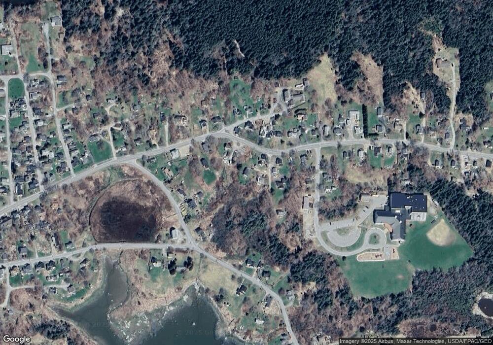
Map
Nearby Homes
- 50 E Boston Rd
- 11 Cottage St
- 54 W Main St
- 12 Jamestown Rd
- 26 W Main St
- 64 Main St
- 38 W Main St Unit 1
- 00 Tolman Rd
- Lot #5 George Wright Rd
- 0A Old Harbor Rd
- 006-60 Round the Island Rd
- Lot #2 Hidden Dr
- 90 Greens Island
- Lot #1 Southern Harbor Cove
- 163 Middle Rd
- 274 W District Rd
- 197 N Shore Rd
- 12 Fifield Point Rd
- 31 Green Head Ln
- 32 Burnt Cove Rd
Your Personal Tour Guide
Ask me questions while you tour the home.