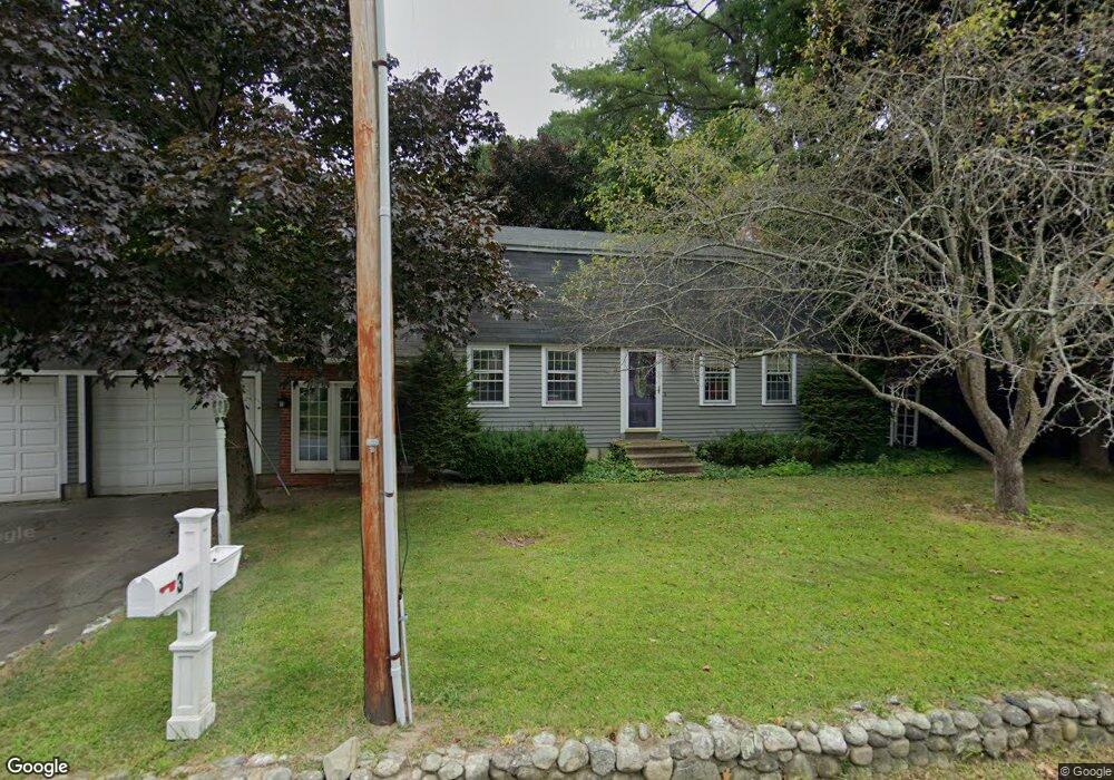
3 Bailey Ln Georgetown, MA 01833
Estimated Value: $795,000 - $937,000
3
Beds
2
Baths
2,320
Sq Ft
$371/Sq Ft
Est. Value
About This Home
This home is located at 3 Bailey Ln, Georgetown, MA 01833 and is currently estimated at $860,807, approximately $371 per square foot. 3 Bailey Ln is a home located in Essex County with nearby schools including Perley Elementary School, Penn Brook School, and Georgetown High School.
Ownership History
Date
Name
Owned For
Owner Type
Purchase Details
Closed on
Jun 11, 2010
Sold by
Caron Michael and Caron Joanne M
Bought by
Berg Jeremy E
Current Estimated Value
Home Financials for this Owner
Home Financials are based on the most recent Mortgage that was taken out on this home.
Original Mortgage
$280,000
Interest Rate
5.11%
Mortgage Type
Purchase Money Mortgage
Create a Home Valuation Report for This Property
The Home Valuation Report is an in-depth analysis detailing your home's value as well as a comparison with similar homes in the area
Home Values in the Area
Average Home Value in this Area
Purchase History
| Date | Buyer | Sale Price | Title Company |
|---|---|---|---|
| Berg Jeremy E | $392,000 | -- |
Source: Public Records
Mortgage History
| Date | Status | Borrower | Loan Amount |
|---|---|---|---|
| Open | Berg Jeremy E | $271,000 | |
| Closed | Berg Jeremy E | $280,000 | |
| Previous Owner | Berg Jeremy E | $43,000 |
Source: Public Records
Tax History Compared to Growth
Tax History
| Year | Tax Paid | Tax Assessment Tax Assessment Total Assessment is a certain percentage of the fair market value that is determined by local assessors to be the total taxable value of land and additions on the property. | Land | Improvement |
|---|---|---|---|---|
| 2025 | $7,918 | $715,900 | $280,500 | $435,400 |
| 2024 | $7,501 | $597,700 | $193,700 | $404,000 |
| 2023 | $7,695 | $592,800 | $193,700 | $399,100 |
| 2022 | $6,668 | $473,600 | $168,500 | $305,100 |
| 2021 | $6,397 | $402,600 | $168,500 | $234,100 |
| 2020 | $6,409 | $402,600 | $168,500 | $234,100 |
| 2019 | $6,303 | $399,400 | $165,300 | $234,100 |
| 2018 | $6,342 | $399,400 | $165,300 | $234,100 |
| 2017 | $6,147 | $379,200 | $165,300 | $213,900 |
| 2016 | $5,948 | $374,800 | $165,300 | $209,500 |
| 2015 | $5,843 | $364,500 | $165,300 | $199,200 |
| 2014 | $5,113 | $363,900 | $165,300 | $198,600 |
Source: Public Records
Map
Nearby Homes
- 231 W Main St
- 206 W Main St Unit 5
- 206 W Main St Unit 9
- 206 W Main St Unit 2
- 206 W Main St Unit 8
- 51 W Main St Unit 6
- 69 Pond St
- 11 Central St
- 1 Atwood Ln
- 603 Alyssa Dr Unit 603
- 8 Molloy Rd
- 28 Coleman Rd
- Lot 11A King St
- 89 King St
- 98 King St
- 141 Washington St
- 12 Hope Ln Unit 14
- 36 King St
- 22 Pleasant St
- 358 Main St