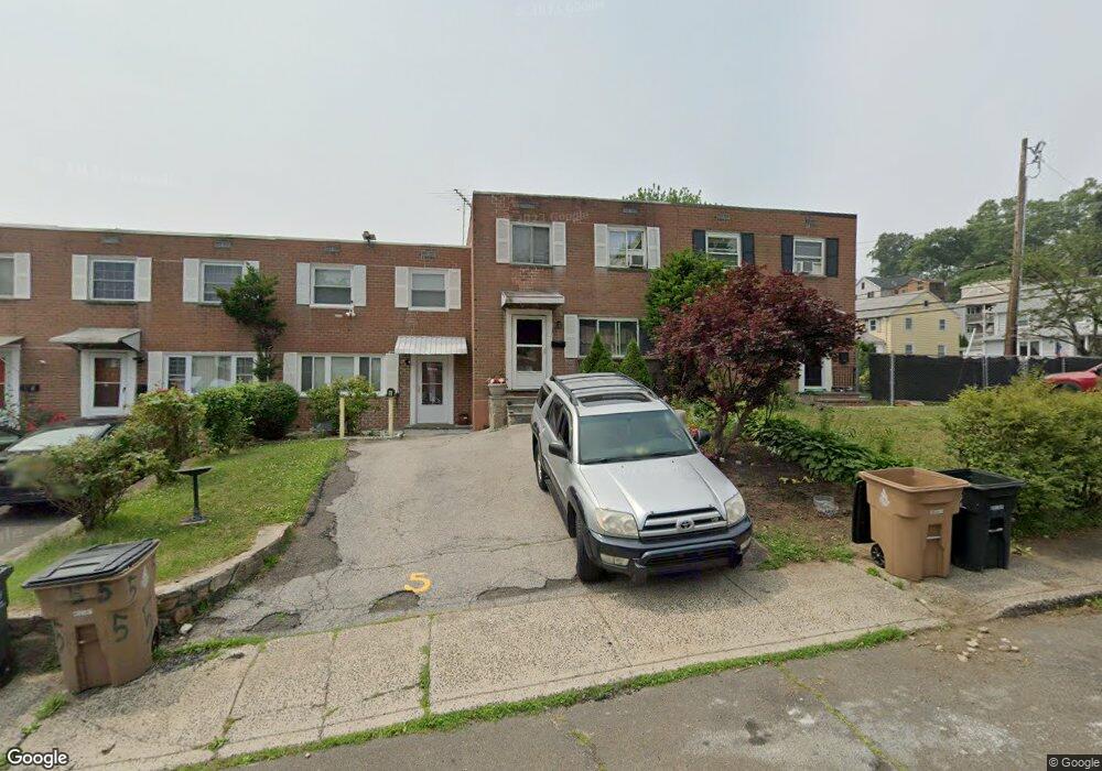
3 Barnstable Ln Stamford, CT 06907
Springdale NeighborhoodEstimated Value: $547,000 - $563,999
3
Beds
2
Baths
1,630
Sq Ft
$341/Sq Ft
Est. Value
About This Home
This home is located at 3 Barnstable Ln, Stamford, CT 06907 and is currently estimated at $555,750, approximately $340 per square foot. 3 Barnstable Ln is a home located in Fairfield County with nearby schools including Springdale Elementary School, Dolan School, and Stamford High School.
Ownership History
Date
Name
Owned For
Owner Type
Purchase Details
Closed on
Feb 23, 2010
Sold by
Laramee Jean F
Bought by
Laramee Jean F and Philogene Marie Y
Current Estimated Value
Purchase Details
Closed on
Dec 4, 1996
Sold by
Estes Mindy I
Bought by
Laramee Jean F
Home Financials for this Owner
Home Financials are based on the most recent Mortgage that was taken out on this home.
Original Mortgage
$108,000
Interest Rate
7.83%
Mortgage Type
Purchase Money Mortgage
Create a Home Valuation Report for This Property
The Home Valuation Report is an in-depth analysis detailing your home's value as well as a comparison with similar homes in the area
Home Values in the Area
Average Home Value in this Area
Purchase History
| Date | Buyer | Sale Price | Title Company |
|---|---|---|---|
| Laramee Jean F | -- | -- | |
| Laramee Jean F | -- | -- | |
| Laramee Jean F | $144,000 | -- | |
| Laramee Jean F | $144,000 | -- |
Source: Public Records
Mortgage History
| Date | Status | Borrower | Loan Amount |
|---|---|---|---|
| Previous Owner | Laramee Jean F | $175,000 | |
| Previous Owner | Laramee Jean F | $108,000 | |
| Previous Owner | Laramee Jean F | $55,000 |
Source: Public Records
Tax History
| Year | Tax Paid | Tax Assessment Tax Assessment Total Assessment is a certain percentage of the fair market value that is determined by local assessors to be the total taxable value of land and additions on the property. | Land | Improvement |
|---|---|---|---|---|
| 2025 | $5,834 | $246,570 | $154,220 | $92,350 |
| 2024 | $5,706 | $246,570 | $154,220 | $92,350 |
| 2023 | $6,130 | $246,570 | $154,220 | $92,350 |
| 2022 | $4,967 | $185,770 | $116,060 | $69,710 |
| 2021 | $4,914 | $185,770 | $116,060 | $69,710 |
| 2020 | $4,787 | $185,770 | $116,060 | $69,710 |
| 2019 | $4,787 | $185,770 | $116,060 | $69,710 |
| 2018 | $4,611 | $185,770 | $116,060 | $69,710 |
| 2017 | $4,347 | $167,210 | $107,470 | $59,740 |
| 2016 | $4,225 | $167,210 | $107,470 | $59,740 |
| 2015 | $4,115 | $167,210 | $107,470 | $59,740 |
| 2014 | $3,978 | $167,210 | $107,470 | $59,740 |
Source: Public Records
Map
Nearby Homes
- 7 Barnstable Ln
- 680 Hope St Unit 12
- 910 Hope St Unit 5B
- 78 Elizabeth Ave
- 27 Northill St Unit 5S
- 27 Northill St Unit 5N
- 43 Phillips Ln
- 144 Toms Rd
- 85 Camp Ave Unit 3B
- 85 Camp Ave Unit 18B
- 173 Belltown Rd
- 17 Sunnyside Ave
- 455 Hope St Unit 4B
- 1 Megan Ln
- 71 Deleo Dr
- 130 Mulberry St
- 40 Oenoke Place Unit 13
- 10 Turner Rd
- 72 Highview Ave
- 15 Waterbury Ln
- 5 Barnstable Ln
- 1 Barnstable Ln
- 9 Barnstable Ln
- 11 Barnstable Ln
- 2 Castle Ct
- 13 Barnstable Ln
- 4 Castle Ct
- 6 Castle Ct
- 15 Barnstable Ln
- 8 Castle Ct
- 6 Barnstable Ln
- 17 Barnstable Ln
- 4 Barnstable Ln
- 10 Castle Ct
- 8 Barnstable Ln
- 10 Barnstable Ln
- 2 Barnstable Ln
- 12 Barnstable Ln
- 12 Castle Ct
- 1 Hartford Ave
Your Personal Tour Guide
Ask me questions while you tour the home.