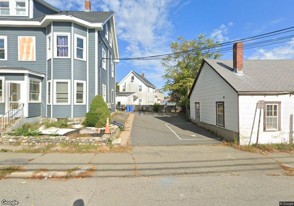
3 Bemis Ave Waltham, MA 02453
Bank Square NeighborhoodEstimated Value: $696,000 - $843,000
3
Beds
2
Baths
1,738
Sq Ft
$430/Sq Ft
Est. Value
About This Home
This home is located at 3 Bemis Ave, Waltham, MA 02453 and is currently estimated at $746,797, approximately $429 per square foot. 3 Bemis Ave is a home located in Middlesex County with nearby schools including William F. Stanley Elementary School, John W. Mcdevitt Middle School, and Waltham Sr High School.
Ownership History
Date
Name
Owned For
Owner Type
Purchase Details
Closed on
Jan 24, 2018
Sold by
Kothari Chandrakant D and Chandrakant-Kothari Neha
Bought by
Kothari Chandrakant D
Current Estimated Value
Purchase Details
Closed on
Nov 6, 2003
Sold by
Trainor Harold P and Trainor Judith A
Bought by
Kothari Chandrakant D
Home Financials for this Owner
Home Financials are based on the most recent Mortgage that was taken out on this home.
Original Mortgage
$268,000
Interest Rate
6.01%
Mortgage Type
Purchase Money Mortgage
Create a Home Valuation Report for This Property
The Home Valuation Report is an in-depth analysis detailing your home's value as well as a comparison with similar homes in the area
Home Values in the Area
Average Home Value in this Area
Purchase History
| Date | Buyer | Sale Price | Title Company |
|---|---|---|---|
| Kothari Chandrakant D | -- | -- | |
| Kothari Chandrakant D | $335,000 | -- |
Source: Public Records
Mortgage History
| Date | Status | Borrower | Loan Amount |
|---|---|---|---|
| Previous Owner | Kothari Chandrakant D | $268,000 |
Source: Public Records
Tax History
| Year | Tax Paid | Tax Assessment Tax Assessment Total Assessment is a certain percentage of the fair market value that is determined by local assessors to be the total taxable value of land and additions on the property. | Land | Improvement |
|---|---|---|---|---|
| 2025 | $6,315 | $643,100 | $326,700 | $316,400 |
| 2024 | $6,158 | $638,800 | $324,700 | $314,100 |
| 2023 | $5,670 | $549,400 | $311,100 | $238,300 |
| 2022 | $5,773 | $518,200 | $284,100 | $234,100 |
| 2021 | $5,148 | $454,800 | $230,000 | $224,800 |
| 2020 | $5,001 | $418,500 | $202,900 | $215,600 |
| 2019 | $4,565 | $360,600 | $200,900 | $159,700 |
| 2018 | $4,184 | $331,800 | $186,000 | $145,800 |
| 2017 | $3,955 | $314,900 | $169,100 | $145,800 |
| 2016 | $3,854 | $314,900 | $169,100 | $145,800 |
| 2015 | $3,913 | $298,000 | $152,200 | $145,800 |
Source: Public Records
Map
Nearby Homes
- 74 Harvard St
- 39 Floyd St Unit 2
- 15 Howard St
- 32 Vernon St
- 54-56 South St
- 50 Hammond St
- 291-293 School St
- 55-57 Crescent St
- 85 Crescent St
- 43-45 Wellington St Unit 3
- 31 Weston St Unit 2
- 41 Auburn St
- 103-105 Columbus Ave
- 7 Pearl St
- 19 Everett St Unit 2
- 7 Gibbs Ct
- 31 Hall St Unit 2
- 70 School St
- 61 Hall St Unit 1
- 61 Hall St Unit 9
- 1 Bemis Ave
- 1 Bemis Ave Unit 2
- 1 Bemis Ave Unit 1
- 5 Bemis Ave
- 2 Bemis Ave
- 14 Munroe Ave Unit 3
- 14 Munroe Ave Unit 2
- 14 Munroe Ave Unit 1
- 14 Munroe Ave Unit 2 14
- 14 Munroe Ave Unit 14-1
- 10-12 Munroe Ave
- 10 Munroe Ave Unit 12
- 4 Bemis Ave
- 49 Harvard St
- 49 Harvard St Unit C
- 18 Munroe Ave Unit 2
- 18 Munroe Ave Unit 1
- 18 Munroe Ave Unit 2 18
- 18 Munroe Ave Unit B
- 18 Munroe Ave
Your Personal Tour Guide
Ask me questions while you tour the home.