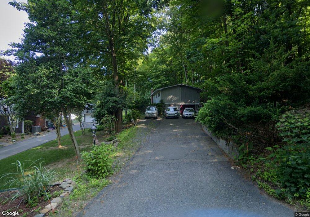
3 Birchknoll Dr Wilbraham, MA 01095
Estimated Value: $397,287 - $493,000
2
Beds
2
Baths
1,340
Sq Ft
$329/Sq Ft
Est. Value
About This Home
This home is located at 3 Birchknoll Dr, Wilbraham, MA 01095 and is currently estimated at $441,072, approximately $329 per square foot. 3 Birchknoll Dr is a home located in Hampden County with nearby schools including Minnechaug Regional High School, Springfield International Charter School, and Wilbraham & Monson Academy.
Ownership History
Date
Name
Owned For
Owner Type
Purchase Details
Closed on
Jul 16, 2004
Sold by
Greetings Rt
Bought by
Porter E Tomaya and Porter Ronald N
Current Estimated Value
Create a Home Valuation Report for This Property
The Home Valuation Report is an in-depth analysis detailing your home's value as well as a comparison with similar homes in the area
Home Values in the Area
Average Home Value in this Area
Purchase History
| Date | Buyer | Sale Price | Title Company |
|---|---|---|---|
| Porter E Tomaya | $93,329 | -- |
Source: Public Records
Tax History
| Year | Tax Paid | Tax Assessment Tax Assessment Total Assessment is a certain percentage of the fair market value that is determined by local assessors to be the total taxable value of land and additions on the property. | Land | Improvement |
|---|---|---|---|---|
| 2025 | $6,278 | $351,100 | $95,700 | $255,400 |
| 2024 | $5,835 | $315,400 | $95,700 | $219,700 |
| 2023 | $5,291 | $299,300 | $95,700 | $203,600 |
| 2022 | $5,291 | $258,200 | $95,700 | $162,500 |
| 2021 | $5,180 | $225,600 | $102,900 | $122,700 |
| 2020 | $5,049 | $225,600 | $102,900 | $122,700 |
| 2019 | $4,920 | $225,700 | $102,900 | $122,800 |
| 2018 | $4,940 | $218,200 | $102,900 | $115,300 |
| 2017 | $4,800 | $218,200 | $102,900 | $115,300 |
| 2016 | $4,672 | $216,300 | $114,500 | $101,800 |
| 2015 | $4,516 | $216,300 | $114,500 | $101,800 |
Source: Public Records
Map
Nearby Homes
- 20 Old Orchard Rd
- 8 Patriot Ridge Ln
- 474 Mountain Rd
- 6 Hilltop Park
- 474-480 Mountain Rd
- 104 High Pine Cir
- 1 Aspen Dr
- 35 Lake Dr
- 4 Hillcrest Dr
- 46 Washington Rd
- 5 Northwood Dr
- 603 Glendale Rd
- 6 Teak Terrace Unit 24
- 103 Sandalwood Dr Unit site 00
- 57 Sandalwood Dr Unit site 61
- 111 Sandalwood Dr Unit site 00
- 16 Maple St
- 84 Sandalwood Dr Unit site 00
- 36 Maple St
- 3 Mohawk St
Your Personal Tour Guide
Ask me questions while you tour the home.