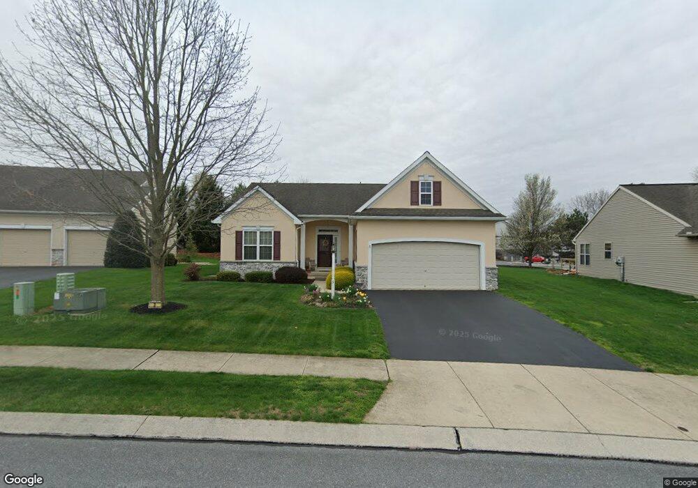
3 Bloomfield Dr Ephrata, PA 17522
Estimated Value: $358,000 - $445,000
2
Beds
3
Baths
1,672
Sq Ft
$239/Sq Ft
Est. Value
About This Home
This home is located at 3 Bloomfield Dr, Ephrata, PA 17522 and is currently estimated at $399,791, approximately $239 per square foot. 3 Bloomfield Dr is a home located in Lancaster County with nearby schools including Clay Elementary School, Ephrata Intermediate School, and Ephrata Senior High School.
Ownership History
Date
Name
Owned For
Owner Type
Purchase Details
Closed on
Dec 29, 2005
Sold by
Wissler J Glenn and Wissler Mildred G
Bought by
Groff William L and Groff Peggy L
Current Estimated Value
Home Financials for this Owner
Home Financials are based on the most recent Mortgage that was taken out on this home.
Original Mortgage
$183,900
Interest Rate
6.28%
Mortgage Type
Fannie Mae Freddie Mac
Create a Home Valuation Report for This Property
The Home Valuation Report is an in-depth analysis detailing your home's value as well as a comparison with similar homes in the area
Home Values in the Area
Average Home Value in this Area
Purchase History
| Date | Buyer | Sale Price | Title Company |
|---|---|---|---|
| Groff William L | $229,900 | None Available |
Source: Public Records
Mortgage History
| Date | Status | Borrower | Loan Amount |
|---|---|---|---|
| Previous Owner | Groff William L | $183,900 |
Source: Public Records
Tax History Compared to Growth
Tax History
| Year | Tax Paid | Tax Assessment Tax Assessment Total Assessment is a certain percentage of the fair market value that is determined by local assessors to be the total taxable value of land and additions on the property. | Land | Improvement |
|---|---|---|---|---|
| 2025 | $4,690 | $204,800 | $53,800 | $151,000 |
| 2024 | $4,690 | $204,800 | $53,800 | $151,000 |
| 2023 | $4,569 | $204,800 | $53,800 | $151,000 |
| 2022 | $4,465 | $204,800 | $53,800 | $151,000 |
| 2021 | $4,369 | $204,800 | $53,800 | $151,000 |
| 2020 | $4,369 | $204,800 | $53,800 | $151,000 |
| 2019 | $4,307 | $204,800 | $53,800 | $151,000 |
| 2018 | $3,344 | $204,800 | $53,800 | $151,000 |
| 2017 | $4,190 | $164,400 | $37,500 | $126,900 |
| 2016 | $4,190 | $164,400 | $37,500 | $126,900 |
| 2015 | $828 | $164,400 | $37,500 | $126,900 |
| 2014 | $3,095 | $164,400 | $37,500 | $126,900 |
Source: Public Records
Map
Nearby Homes
- 114 Bloomfield Dr
- 70 Snyder Ln Unit 17
- 2002 W Main St Unit 63
- 2002 W Main St Unit 74
- 2002 W Main St
- 335 N Clay Rd
- 1505 Clay Rd
- 979 Daniel Dr
- 60 W Church Rd
- 116 Hershey Rd
- 65 Weidmansville Rd
- 1480 Kleinfeltersville Rd
- 170 W Girl Scout Rd
- 205 Forget me Not Dr
- 314 Freedom Dr
- Atworth Plan at Wyndale
- Lawrence Plan at Wyndale
- Huntington Plan at Wyndale
- Brookfield Plan at Wyndale
- Darien Plan at Wyndale